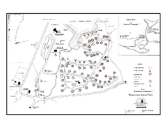
Bomoseen State Park map
Campground map of Bomoseen State Park in Vermont
0 miles away
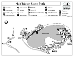
Half Moon State Park Campground Map
Campground map of Half Moon State Park in Vermont
2 miles away
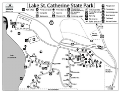
Lake St. Catherine State Park Campground Map
Campground map of St. Catherine State Park in Vermont
13 miles away
Fort Ticonderoga 1777 Map
14 miles away
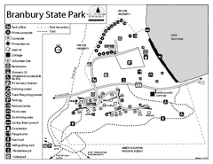
Branbury State Park map
Campground map of Branbury State Park in Vermont
18 miles away
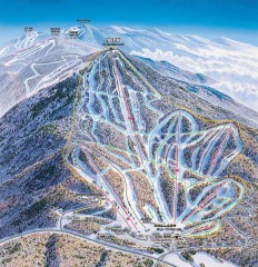
Pico Mountain Ski Trail Map
Ski trail map of Pico ski area, estimated 2002 map
20 miles away
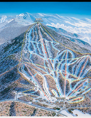
Pico Mountain Ski Trail Map
Trail map from Pico Mountain.
20 miles away
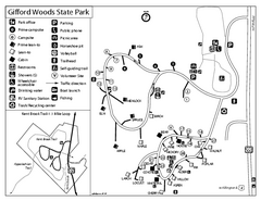
Gifford Woods State Park Campground Map
Campground map of Gifford Woods State Park in Vermont
22 miles away

Killington Ski Trail Map
Guide to Killington area ski trails
22 miles away
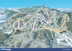
Killington Ski Trail Map 2008
Ski trail map of Killington ski area as of 2008
22 miles away
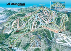
Killington Ski Trail Map
Official ski trail map of Killington ski area.
23 miles away
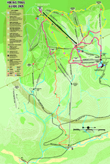
Killington Hiking Trail Map
Hiking trail map of Killington Ski Area summer trails. Shows life zones and geologic features.
23 miles away
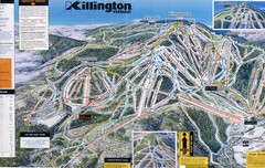
Killington Trail Map
Ski trail map
23 miles away
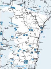
Windsor County Map
23 miles away
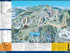
07-08 Killington Ski Trail Guide Map
Trail Map of Ski Area including lifts, runs and mountain elevation.
23 miles away
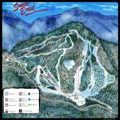
Middlebury Snow Bowl Ski Trail map
Official ski trail map of Middlebury College Snow Bowl ski area.
23 miles away
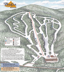
Bear Creek Mountain Club Ski Trail map
Official ski trail map of Bear Creek Mountain ski area.
26 miles away
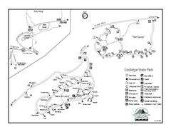
Coolidge State Park Campground Map
Campground map of Coolidge State Park in Vermont
29 miles away
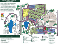
Emerald Lake State Park Map
29 miles away
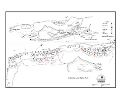
Emerald Lake State Park Campground Map
Campground map of Emerald Lake State Park in Vermont
29 miles away
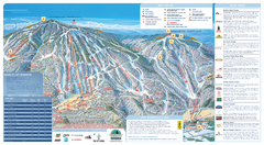
Okemo Ski Trail Map
Ski trail map of Okemo ski area. A James Niehues creation.
31 miles away
Okemo Mountain Resort Ski Trail Map
Trail map from Okemo Mountain Resort.
31 miles away
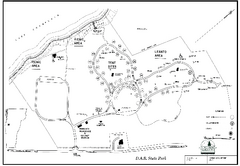
D.A.R. State Park map
Map of D.A.R. State park in Vermont
31 miles away
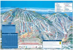
Okemo Mountain Resort ski trail map 2006-07
Official ski trail map of Okemo ski area for the 2006-2007 season. Slopes & Trails 624 acres...
32 miles away
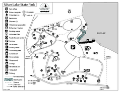
Silver Lake State Park Campground Map
Campground map of Silver Lake State Park in Vermont
32 miles away
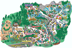
Six Flags Great Escape Theme Park Map
Official Park map of Six Flags Great Escape Theme Park in Lake George, NY.
32 miles away
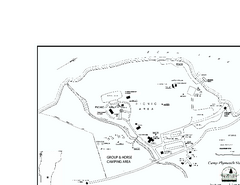
Camp Plymouth State Park map
Map of Camp Plymouth Park in Vermont.
33 miles away
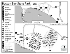
Button Bay State Park Campground Map
Campground map of Button Bay State Park in Vermont
34 miles away
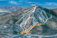
Bromley Mountain Ski Area map 2006-07
Simple ski trail map of Bromley Mountain Ski Area for the 2006-2007 season.
34 miles away
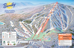
Bromley Mountain Ski Trail Map
Trail map from Bromley Mountain.
34 miles away
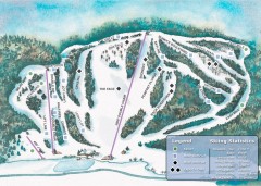
Suicide Six Ski Trail map
Ski trail map of Suicide Six ski area, owned by the Woodstock Inn in Woodstock, VT
35 miles away
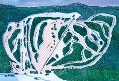
Suicide Six Ski Trail Map
Trail map from Suicide Six.
35 miles away
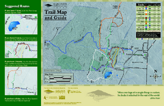
Equinox Preservation Trail map
Trail map of the Equinox Preservation Trust in Manchester, VT. The Equinox Preservation is over...
36 miles away
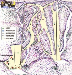
West Mountain Ski Area Ski Trail Map
Trail map from West Mountain Ski Area.
36 miles away
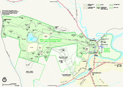
Marsh-Billings-Rockefeller National Historical...
Official NPS map of Marsh-Billings-Rockefeller National Historical Park in Vermont. Shows all areas...
36 miles away
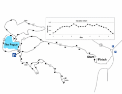
Mt. Tom road to the Pogue race course map
View Course Map and Elevations for the Mt. Tom road to the Pogue 6.1 mile run in Woodstock, VT.
36 miles away
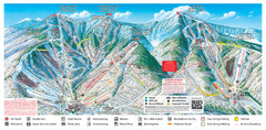
Sugarbush Resort Ski Trail Map
Trail map from Sugarbush Resort.
37 miles away
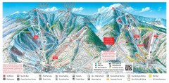
Sugarbush Resort ski trail map 2006-07
Official ski trail map of Sugarbush ski area from the 2006-2007 season.
38 miles away
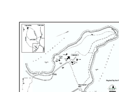
Kingsland Bay State Park Map
Campground map for Kingsland Bay State Park in Vermont
38 miles away
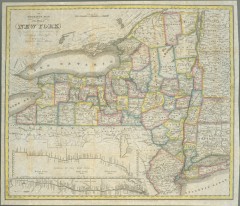
1831 Antique New York State map
The tourist's map of the state of New York : compiled from the latest authorities in the...
38 miles away

