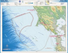
Cordell Bank National Marine Sanctuary Map
Topo and bathymetric map of the Cordell Bank National Marine Sanctuary, located 60 miles northwest...
51 miles away
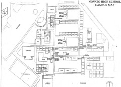
Novato High School Campus Map
51 miles away
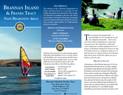
Brannan Island & Franks Tract State...
Map of park with detail of trails and recreation zones
51 miles away
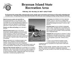
Brannan Island Campground Map
Map of park with detail of trails and recreation zones
51 miles away
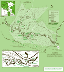
Samuel Taylor State Park Trail Map
Trail map of Samuel Taylor State Park near Lagunitas, CA.
52 miles away
San Juan Bautista State Historic Park Map
Map of park with detail of trails and recreation zones
52 miles away
Samuel P. Taylor State Park Map
Map of park with detail of trails and recreation zones
53 miles away
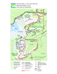
Indian Tree, Little Mountain, and Verissimo Hills...
53 miles away
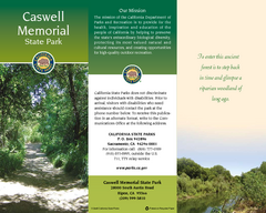
Caswell Memorial State Park Map
Map of park with detail of trails and recreation zones
53 miles away
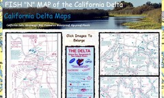
California Delta Maps Map
FISH "N" MAP of the California Delta. Navigation Map with GPS Locations. Printed on...
54 miles away
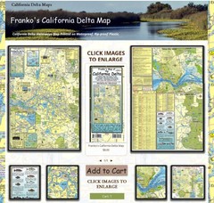
California Delta Maps Map
The "BEST" Navigational Maps of the California Delta. Franko's California...
54 miles away
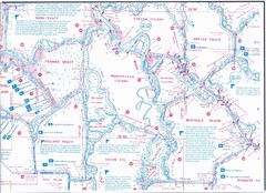
California Delta Maps/Fish "N" Map
The Delta including Suisun Bay, Sacramento & San Joaquin Rivers 10 Foot Underwater Depth...
54 miles away
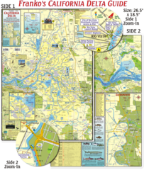
California Delta Maps Map
The "BEST" California Delta Boating, Navigation & Visitors Maps. Printed on Rip-Proof...
54 miles away
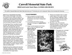
Caswell Memorial State Park Campground Map
Map of park with detail of trails and recreation zones
54 miles away

Mt. Burdell Open Space Preserve Map
Trail map of Mt. Burdell Open Space Preserve and Olompali State Historic Park in Novato, Marin...
54 miles away
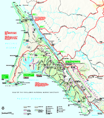
Point Reyes National Seashore Map
Official NPS map of Point Reyes National Seashore in Marin County, California. Shows trails, roads...
56 miles away
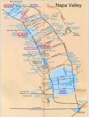
Napa Valley Tourist map
Tourist map of Napa Valley in California, showing wineries and museums in the area.
56 miles away
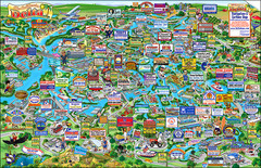
California Delta Boaters Map & Visitors Guide
Map of the California Delta, the Most Current, Legible and Unique Delta Navigation Map to date. Our...
56 miles away
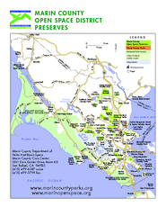
Marin Open Space Preserves Map
Shows all Open Space Preserves in Marin County, CA.
57 miles away
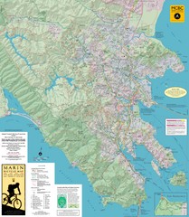
Marin, California Bike Map
57 miles away
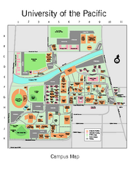
University of the Pacific Stockton Campus Map
Campus map of University of the Pacific, Stockton, California campus
57 miles away
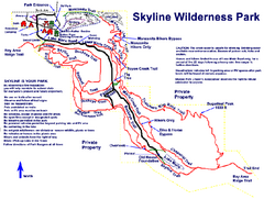
Skyline Wilderness Park Map
Trail map of Skyline Wilderness Park in Napa, California
57 miles away
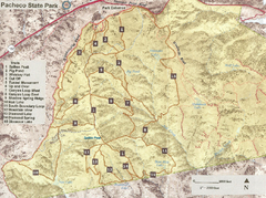
Pacheco State Park Trail Map
Map of park with details of different trails
57 miles away

Geographic Subdivisions in California Map
58 miles away

Pacheco State Park Map
Map of park with detail of trails and recreation zones
58 miles away

Fremont Peak State Park Map
Map of park with detail of trails and recreation zones
58 miles away
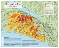
Point Reyes Vision Fire Map
Map of the burn intensity of the 1995 Vision Fire in Point Reyes National Seashore.
59 miles away
Monterey State Historic Park Map
Map of park with detail of trails and recreation zones
60 miles away
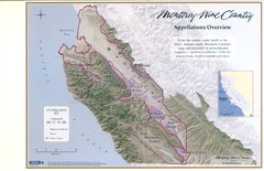
Monterey Wine Country: Appellation Overview Map
The Monterey region is world-famous for unparalleled scenic beauty, golf, and cuisine. Millions of...
60 miles away
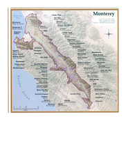
Monterey Wine Country: Appellation Overview Map
The Monterey region is world-famous for unparalleled scenic beauty, golf, and cuisine. Millions of...
60 miles away
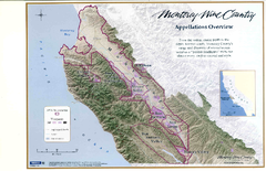
Monterey Wine Country: Appellation Overview Map
The Monterey region is world-famous for unparalleled scenic beauty, golf, and cuisine. Millions of...
60 miles away
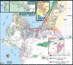
Monterey Area Map
Shows Monterey / Carmel area. Has legend on it with route highlighted to Naval housing.
61 miles away
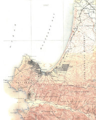
Monterey Map
61 miles away
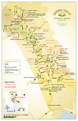
Sonoma Valley Winery Map
High quality map of Sonoma Valley wineries from the vinters and growers. Shows all key roads and...
62 miles away
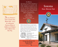
Sonoma State Historic Park Map
Map of park with detail of trails and recreation zones
62 miles away

San Luis Reservoir State Recreation Area Map
Map of park and reservoir with detail of trails and recreation zones
63 miles away
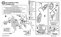
San Luis Reservoir State Recreation Area...
Map of campground region of park and reservoir with detail of trails and recreation zones
63 miles away

Toro County Park Map
Trails of Toro County Park, Salinas Ca.
63 miles away

Laguna Seca Raceway Map
Overview map of the Laguna Seca Raceway. Shows track, parking, and facilities.
63 miles away
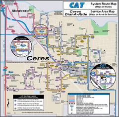
Ceres, CA Transportation Map
64 miles away

