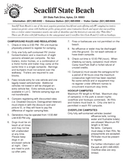
Seacliff State Beach Campground Map
Map of campground region of beach and park with detail of trails and recreation zones
35 miles away
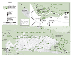
Wildcat Canyon Regional Park Map
35 miles away
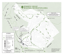
Kennedy Grove Recreation Area Trail Map
222-acre park
35 miles away
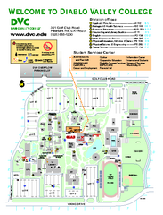
Diablo Valley College Map
36 miles away
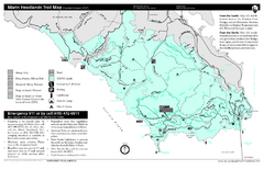
Marin Headlands Trail Map
Trail map of Marin Headlands in Marin County, California. Shows trails with distances by use type...
36 miles away
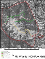
Mt. Wanda Aerial Trail Map
Trail map of Mt. Wanda area in the John Muir National Historic Site.
37 miles away
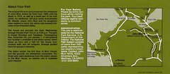
John Muir National Histroric Site Map
37 miles away
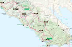
Headlands 50K Map (for 2011 race and future races)
Course For 2011 Headlands 50K
38 miles away
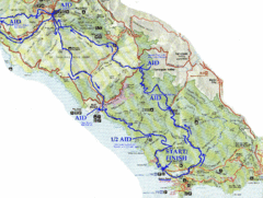
Golden Gate Headlands 50k Course Map
Here is a map of the 31-mile course for the Golden Gate Headlands: USATF National 50K Trail...
39 miles away
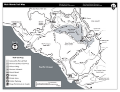
Muir Woods Trail Map
Black and white trail map of Muir Woods National Monument and surrounding Mount Tamalpais State...
40 miles away
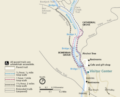
Muir Woods Trail Map
Shows paved loop walks and extended unpaved trails in Muir Woods National Monument, California
40 miles away
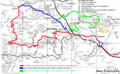
Alpine Dam Seven Sisters Road Bike Route Map...
Road biking route map for the classic Alpine Dam/Seven Sisters loop in Marin County from San...
40 miles away
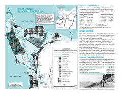
Point Pinole Regional Shoreline Map
41 miles away
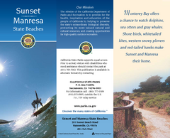
Sunset & Manresa State Beaches Map
Map of beaches and parks with detail of trails and recreation zones
41 miles away
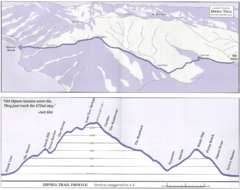
Dipsea Race Course Map
Course map of the annual Dipsea Trail Run Race. Shows birds-eye view and elevation profile of the...
41 miles away
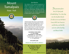
Mount Tamalpais State Park Map
Map of park with detail of trails and recreation zones
41 miles away
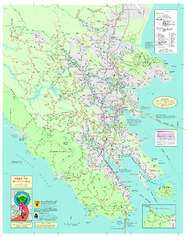
Marin Bicycle Map - Side A
Bike route map of Marin County, California. Shows primary and secondary road routes, paved and...
41 miles away
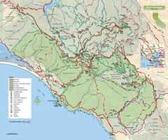
Mount Tamalpais State Park Map
Topographic trail map of Mt Tamalpais State Park in Marin County, California.
41 miles away
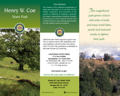
Henry W. Coe State Park Map
Map of park with detail of trails and recreation zones
41 miles away
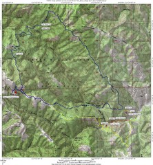
Henry Willard Coe State Park Topographical Map
Topographical map of Henry Willard Coe State Park. Includes roads, elevation information and some...
41 miles away
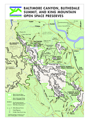
Blithedale Summit Open Space Preserve Map
Trail map of Blithedale Summit Open Space Preserve, Baltimore Canyon Open Space Preserve, and King...
42 miles away
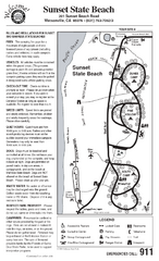
Sunset State Beach Campground Map
Map of park with detail of trails and recreation zones
42 miles away
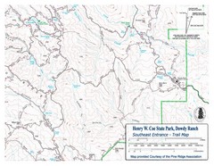
Henry W. Coe State Park, Dowdy Ranch Map
Henry W. Coe State Park Southeast Entrance Trail Map.
42 miles away
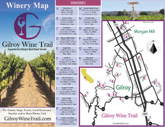
Gilroy Wine Tasting Map
43 miles away
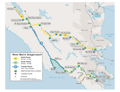
West Marin Bus Map
Bus route map of West Marin Stagecoach. Shows routes to Inverness, Point Reyes Station, Olema...
43 miles away
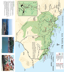
China Camp State Park Map
Trail map of China Camp State Park. Shows trails by use type and all park facilities.
43 miles away
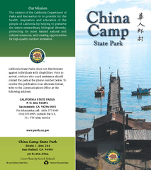
China Camp State Park Map
Map of park with detail of trails and recreation zones
43 miles away
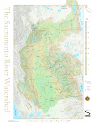
Sacramento River Watershed Map
The map shows, rivers, cities, counties, and roads surrounding the Sacramento River.
44 miles away

Santa Margarita Island, Santa Venetia Marsh, and...
Park map of Santa Margarita Island Open Space Preserve, Santa Venetia Marsh Open Space Preserve...
45 miles away
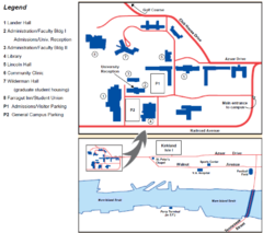
Touro University Map
Campus map of Touro University's Mare Island Campus.
45 miles away

Southern Golden Gate National Recreation Map
45 miles away
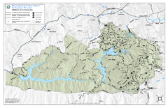
Mt. Tamalpais Watershed Trail Map
Shows roads and trails in the 18,500 Mt. Tamalpais Watershed near Fairfax, California.
45 miles away
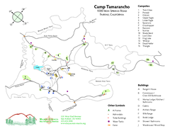
Tamarancho Map
46 miles away
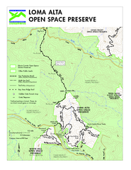
Loma Alta Preserve Map
Topographical trail map of Loma Alta Preserve in Marin County, California
48 miles away
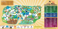
Six Flags Discovery Kingdom Park Map
Six Flags Discovery Kingdom theme park (formerly Marine World) in Vallejo, California. Experience...
48 miles away
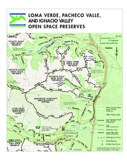
Loma Verde, Pacheco Valley, Lucas Valley and...
48 miles away
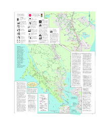
Marin Bicycle Map - Side B
Bike route map of Marin County, California. Shows primary and secondary road routes, paved and...
49 miles away
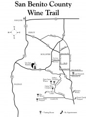
San Benito County Wine Trail Map
Wineries in the San Benito County, California area.
49 miles away
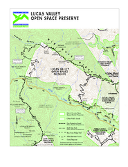
Lucas Valley Open Space Preserve Map
49 miles away
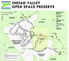
Indian Valley Open Space Preserve Map
51 miles away

