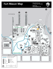
Fort Mason Map
Overview map of Fort Mason, San Francisco, California. Shows trails and points of interest.
30 miles away
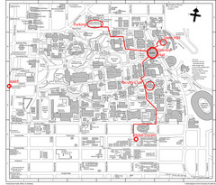
UC Berkely Campus Map
30 miles away
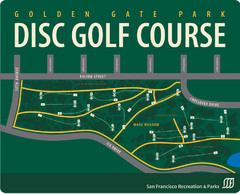
Golden Gate Park Disc Golf Course Map
Disc golf course map of 18-hole course in Golden Gate Park, San Francisco, CA. Officially opened...
30 miles away
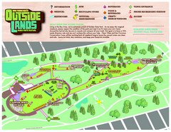
San Francisco Outside Lands Music Festival Map
Official 2008 map of the Outside Lands Music & Arts Festival in Golden Gate Park, San Francisco...
30 miles away
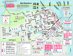
San Francisco Bus and Ferry Map
30 miles away
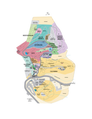
UC Botanical Gardens Map
Unfortunately this is a copy of an interactive map, so is slightly blurred at full size
30 miles away
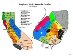
Tilden Regional Park and Native Plant Garden Map
30 miles away
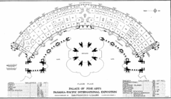
San Francisco Palace of the Fine Arts Map
31 miles away
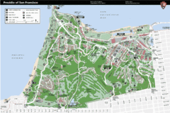
Presidio of San Francisco detail map
Detail map of the Presidio of San Francisco from NPS. Shows hiking/walking trails and POIs such as...
31 miles away
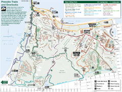
Presidio Trail and Overlook Map
Trail map of the Presidio in San Francisco. Shows 12 major trails (both existing and proposed) and...
31 miles away
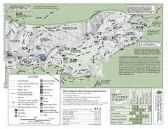
Tilden Regional Park Map - South
31 miles away
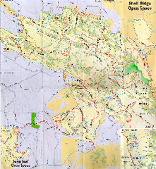
Shell Ridge Open Space Trail Map
Trail map of Shell Ridge Open Space, Walnut Creek's largest open space unit, with trails for...
31 miles away
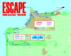
Escape From Alcatraz Triathlon Course Map 2009
Official course map of the 2009 Escape From Alcatraz Triathlon in San Francisco
31 miles away
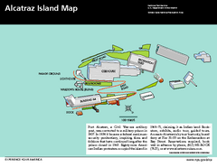
Alcatraz Island Map
Official NPS map of Alcatraz Island National Park in the San Francisco Bay, California
31 miles away
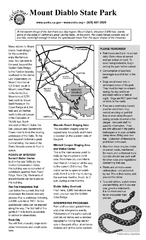
Mount Diablo State Park Campground Map
Map of park with detail of trails and recreation zones
31 miles away
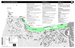
Crissy Field Map
Official NPS map of Crissy Field and vicinity in the Presidio of San Francisco, CA
31 miles away
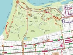
Baker Beach, San Francisco Tourist Map
31 miles away
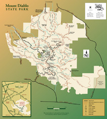
Mt. Diablo State Park Map
Trail map of Mt. Diablo State Park near Walnut Creek, CA
31 miles away
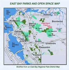
Eastbay Parks and Open Spaces Map
32 miles away
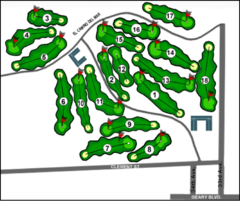
Lincoln Park Golf Course Map
32 miles away
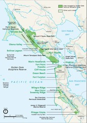
Golden Gate National Recreation Area Area Map
32 miles away
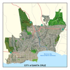
Santa Cruz City Limits Map
Map shows the city limits boundries of Santa Cruz, California
32 miles away
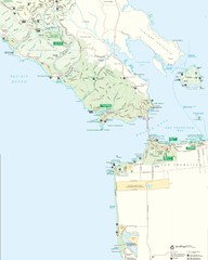
Golden Gate National Recreation Area Detail Map
33 miles away
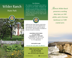
Wilder Ranch State Park Map
Map of park with detail of trails and recreation zones
33 miles away
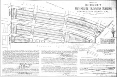
1914 Bouquet Key Route Business Block Map
This map shows the borders of the Bouquet Business District in Contra Costa County, CA
33 miles away
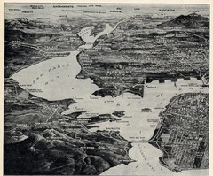
1936 San Francisco Bay Area Map Part 1
Guide to the San Francisco Bay Area in 1936, hand drawing over photograph
33 miles away
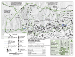
Tilden Regional Park Map - North
33 miles away

Santa Cruz, California City Map
33 miles away
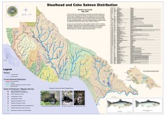
Steelhead and Coho Salmon Distribution Map...
Shows the current distribution of steelhead and resident rainbow trout and coho salmon in Santa...
33 miles away
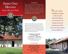
Santa Cruz Mission State Historic Park Map
Map of park and mission
33 miles away
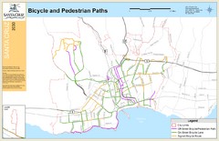
Santa Cruz, CA Bike Map
33 miles away
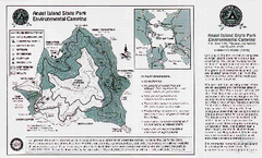
Angel Island State Park Map
Map of park with detail of trails and recreation zones
33 miles away
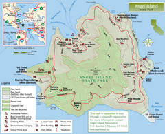
Angel Island State Park Map
Official map of Angel Island State Park in the San Francisco Bay. Shows paved and unpaved roads...
33 miles away
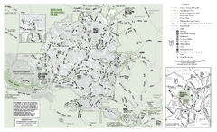
Briones Regional Park Trail Map
Trail map of Briones Regional Park in East Bay.
34 miles away
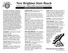
New Brighton State Beach Campground Map
Map of campground region of beach/park with detail of trails and recreation zones
34 miles away
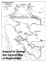
Grizzly Peak Century North Loop Route Map
Road bike route map of the north loop in the Grizzly Peak Century Ride. From site: "The...
34 miles away
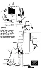
Pleasant Hill, CA Map
34 miles away
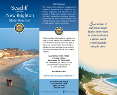
Seacliff & New Brighton State Beaches Map
Map of beaches and parks with detail of trails and recreation zones
34 miles away
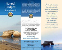
Natural Bridges State Beach Map
Map of beach and park with detail of trails and recreation zones
35 miles away
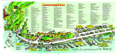
Sausalito Tourist Map
Visitor map of Sausalito, California. Shows restaurants, shopping, and other points of interest
35 miles away

