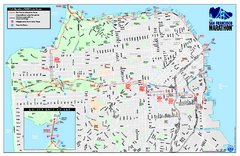
San Francisco 2009 Marathon Map
Guide to the 2009 San Francisco Marathon and Half Marathon
28 miles away
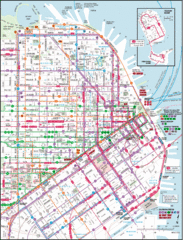
San Francisco Map
Highly detailed map of San Francisco roads and transportation.
28 miles away
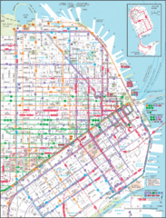
Downtown San Francisco Transit Map
Guide to area and transit in downtown San Francisco
28 miles away
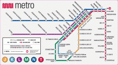
San Francisco Muni Metro map
Official SFMTA San Francisco MUNI Metro map. Shows overlapping BART stations and the Cal Train...
28 miles away
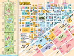
Union Square Tourist Map
Tourist map of Union Square district in San Francisco, California. Shows all venues and points of...
29 miles away
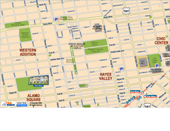
Hayes Valley, Fillmore, Western Addition, Alamo...
Tourist map of Hayes Valley, Fillmore, Western Addition, and Alamo Square in San Francisco.
29 miles away

Bay to Breakers race course Map
Bay to Breakers course. Held annually on the third Sunday in May. "ING Bay to Breakers...
29 miles away
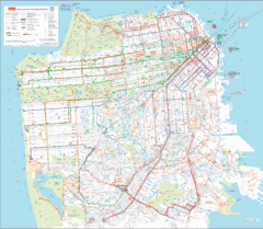
San Francisco Public Transportation map
Transit Muni system map shows all bus, subway metro, cable car, and streetcar routes.
29 miles away
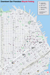
San Francisco Bike Parking Map
Multiple bike-parking points in San Francisco.
29 miles away
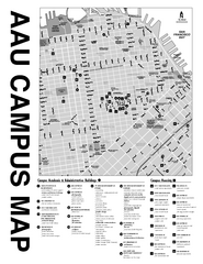
Academy of Art University San Francisco, CA Map
29 miles away
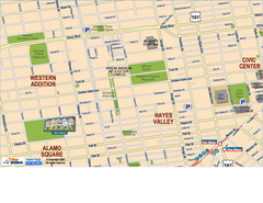
Downtown San Francisco: Hayes Valley, Western...
Tourist map of Hayes Valley, Western Addition, and Civic Center area of downtown San Francisco...
29 miles away
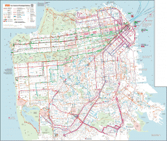
San Francisco Muni system map
Transit Muni system map shows all bus, subway metro, cable car, and streetcar routes.
29 miles away
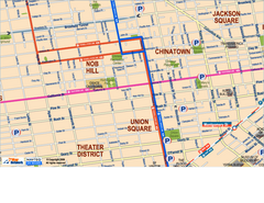
Downtown San Francisco: Union Square, Chinatown...
Tourist map of Union Square, Chinatown and Nob Hill in Downtown San Francisco, California. Public...
29 miles away
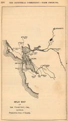
Antique map of San Francisco from 1901
"Milk Map of San Franciso, Cal., Showing Productive Area of Supply." From Report of the...
29 miles away

Farwell’s Map of Chinatown in San Francisco...
This map of vice in San Francisco's Chinatown in 1885. A fascinating historical document, as...
29 miles away
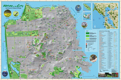
San Francisco Natural Heritage Map
Shows San Francisco's natural habitats and biodiversity is filled with fun facts, restoration...
29 miles away
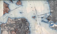
San Francisco Map 1915
29 miles away
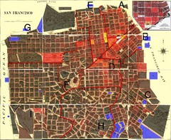
San Francisco Crime Map
A visual representation of crime in San Francisco. This high-level city map of San Francisco shows...
29 miles away
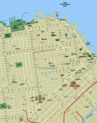
Downtown San Francisco tourist map
Tourist map of Downtown San Francisco spanning several neighborhoods, showing points of interest.
29 miles away
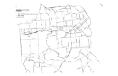
San Francisco Bike Map
Streets in San Francisco
29 miles away
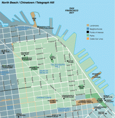
North Beach, Chinatown, Telegraph Hill map
Tourist map of North Beach, Chinatown, and Telegraph Hill in San Francisco
29 miles away
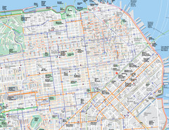
San Francisco Map
Road and Bike routes in San Francisco
29 miles away
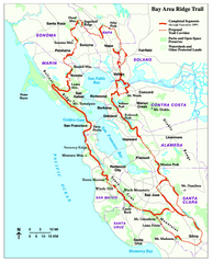
Bay Area Ridge Trail Map
Map of the Bay Area Ridge Trail. Shows completed segments through Sep 2009. "a 550+ mile...
29 miles away
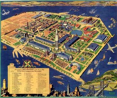
Golden Gate International Expo Cartograph 1939 Map
Bird's eye view of the Golden Gate International Expo in 1939 at Treasure Island in the San...
29 miles away
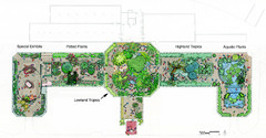
Conservatory of Flowers Museum Map
Map of the Conservatory of Flowers in Golden Gate Park, San Francisco, California
29 miles away
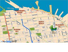
Downtown San Francisco: Fisherman's Wharf...
Tourist map of Fisherman's Wharf, North Beach, and Telegraph Hill area in downtown San...
30 miles away
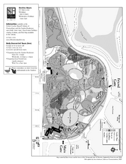
San Francisco Botanical Garden Map
Overview map of the San Francisco Botanical Garden in Golden Gate Park, San Francisco
30 miles away
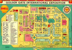
Golden Gate International Expo 1939 Map
Map of the 1939 Golden Gate International Expo.
30 miles away
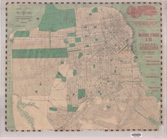
1905 San Francisco Street Map
Pre earthquake map of San Francisco, with several types of street cars and turnaround locations
30 miles away
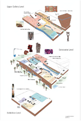
de Young Museum Map
Floorplan of the de Young Museum of Art in Golden Gate Park, San Francisco, California
30 miles away
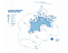
Lafayette Reservoir Recreation Area Map
30 miles away
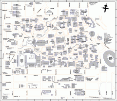
UC Berkeley Map
UC Berkeley campus map
30 miles away
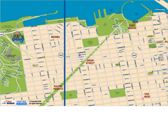
Downtown San Francisco: Fort Mason, the Marina...
Tourist map of Fort Mason, the Marina, and Pacific Heights area in downtown San Francisco...
30 miles away
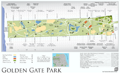
Golden Gate Park Map
Overview map of Golden Gate Park in San Francisco, CA
30 miles away
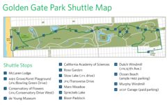
Golden Gate Park Shuttle Map
Shows shuttle stops in Golden Gate Park, SF.
30 miles away
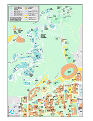
University of California, Berkeley Visitor Map
Colorful Map that illustrates the location of all buildings, parking areas, and streets in and...
30 miles away
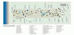
Golden Gate Park tour map
Map of Golden Gate Park in San Francisco in California. Shows all points of interest, picnic areas...
30 miles away
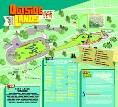
Outside Lands Festival Map 2010
Official Outside Lands Festival map 2010. Held Aug 14-15, 2010 in Golden Gate Park, San Francisco
30 miles away
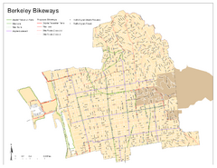
Bikeway Network of Berkeley, California Map
Map of current and proposed bike paths, lanes, and boulevards in Berkeley, California.
30 miles away
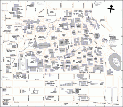
University of California at Berkeley Map
Campus map of the University of California at Berkeley. All buildings shown.
30 miles away

