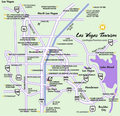
Las Vegas, NV Tourist Map
395 miles away
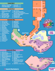
Rio Hotel - Las Vegas, NV Tourist Map
395 miles away
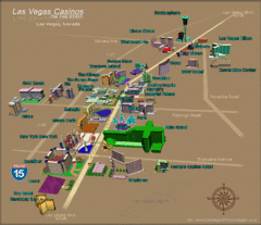
Las Vegas, NV Tourist Map
395 miles away
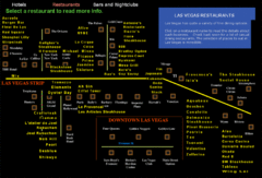
Las Vegas Strip Restaurant Map
395 miles away
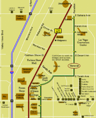
Las Vegas Strip Restaurant Map
395 miles away
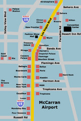
Las Vegas Hotel Map
395 miles away

Las Vegas Tourist Map
Birds-eye view of the Las Vegas Strip. Scanned.
395 miles away
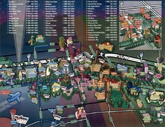
Las Vegas Strip Map
395 miles away
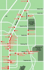
Las Vegas Strip hotel map
Map of all the hotels on The Strip in Las Vegas
395 miles away

Harrahs Las Vegas Hotel Map
395 miles away
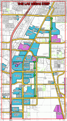
Las Vegas Strip map
Las Vegas map of the famous strip. All major casinos shown, including Bellagio, MGM Grand, Caesars...
395 miles away
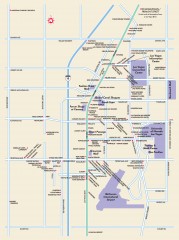
Las Vegas Strip, Las Vegas, Nevada Map
Tourist map of the Las Vegas Strip, in downtown Las Vegas, Nevada. Shows casinos, hotels, and other...
395 miles away
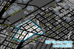
Las Vegas Arts District Map
395 miles away

Las Vegas Strip Map
395 miles away
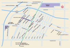
Downtown Las Vegas, Nevada Map
Tourist map of downtown Las Vegas, Nevada. Casinos, hotels, and shopping opportunities are shown...
395 miles away
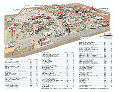
University of Nevada - Las Vegas Campus Map
Campus map of UNLV (University of Nevada - Las Vegas) All areas shown.
395 miles away

Las Vegas shopping map for Lucky
396 miles away
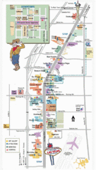
Vegas Strip and Downtown Map
Tourist map of Vegas strip and downtown
396 miles away
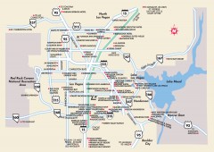
Las Vegas Surrounding Areas, Nevada Map
Tourist map of the areas surrounding Las Vegas, Nevada. Shows hotels and inns outside of downtown...
396 miles away
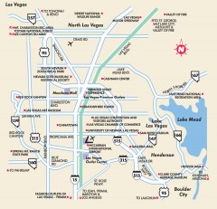
Point of Interest in Las Vegas, Nevada Map
Tourist map of Las Vegas, Nevada. Shows museums, government buildings, and other attractions.
396 miles away
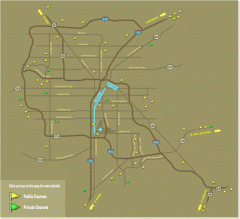
Golf Courses near Las Vegas, Nevada Map
Map of golf courses in and around Las Vegas, Nevada. Shows public and private courses, as well as...
396 miles away
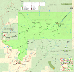
Mount San Jacinto State Park Map
Map of park with detail of trails and recreation zones
396 miles away
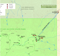
Mount San Jacinto State Park NE Map
Map of NE region of park with detail of trails and recreation zones
396 miles away
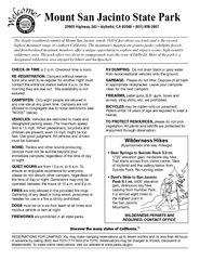
Mount San Jacinto State Park Campground Map
Map of campground region of park with detail of trails and recreation zones
396 miles away
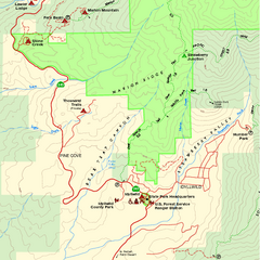
Mount San Jacinto State Park SW Map
Map of SW region of park with detail of trails and recreation zones
396 miles away
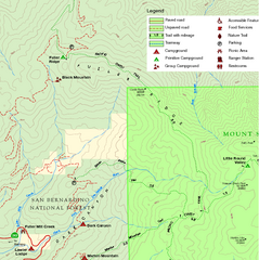
Mount San Jacinto State Park NW Map
Map of NW region of park with detail of trails and recreation zones
396 miles away
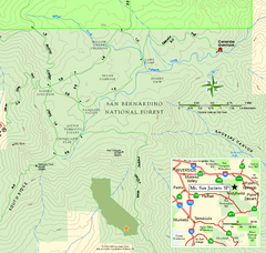
Mount San Jacinto State Park SE Map
Map of SE region of park with detail of trails and recreation zones
396 miles away
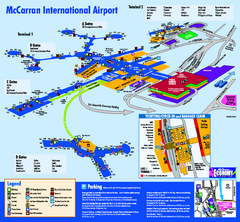
Las Vegas McCarran Airport Terminal Map
Official Terminal Map of Las Vegas McCarran Airport. Shows all areas.
397 miles away
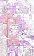
Palm Springs California City Map
400 miles away
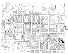
Myrtle Point walking tour Map
Walking tour map of the Historic homes of Myrtle Point in the Coquille Valley of Oregon.
403 miles away
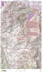
Palm Canyon Epic Trail Map
Upper Trailhead Map. Topo map marked with detail route and notes for ride.
403 miles away
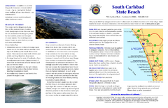
South Carlsbad State Beach Campground Map
Map of beach and park with detail of trails and recreation zones
404 miles away

Steens Mountain Topo Map
Topography map of the east side of Steens mountain in Oregon.
408 miles away
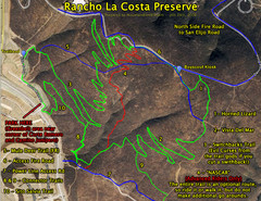
Rancho La Costa Preserve Trail Maps Map
Mountain Biking Trail Map for Rancho La Costa Preserve near San Diego.
408 miles away
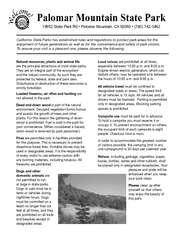
Palomar Mountain State Park Campground Map
Map of campground region of park with detail of trails and recreation zones
409 miles away
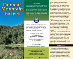
Palomar Mountain State Park Map
Map of park with detail of trails and recreation zones
409 miles away
Palomar Mountain State Park Trail Map
Map of doane valley trail in park
409 miles away
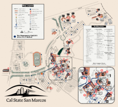
Cal State San Marcos Campus Map
Campus map of Cal State San Marcos in San Marcos, CA
409 miles away
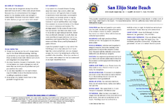
San Elijo State Beach Campground Map
Map of campground region of beach and park with detail of trails and recreation zones
410 miles away
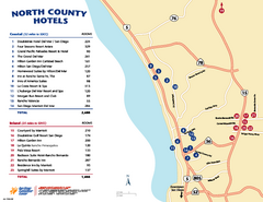
North County San Diego Tourist Map
Tourist map of North County area of San Diego, with hotel listings
410 miles away

