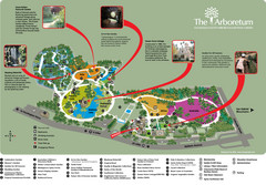
Arboretum Map
Visitor map of the Arboretum
322 miles away
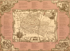
East Los Angeles Murals Map
The Goez Map Guide to the Murals of East Los Angeles, CA
323 miles away
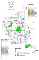
Arcadia City Parks Map
City parks map of Arcadia, California. Also shows schools.
323 miles away
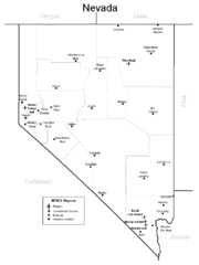
Nevada Airports Map
323 miles away
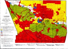
Los Angeles County Firearms Closure Area Map
This map shows where you can use archery, shotgun and rifle to hunt.
323 miles away
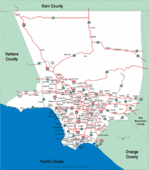
Los Angeles County Highway Map
Map of Los Angeles County highways and freeways.
325 miles away
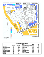
El Camino College Campus Map
El Camino College Campus map. Shows all buildings.
325 miles away
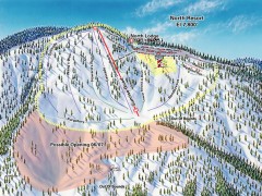
Mountain High Ski Trail Map - North Resort
Official ski trail map of Mountain High ski area for the North Resort
326 miles away
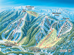
Mountain High Resort East & West Resorts Ski...
Trail map from Mountain High Resort, which provides downhill, night, and terrain park skiing. It...
327 miles away
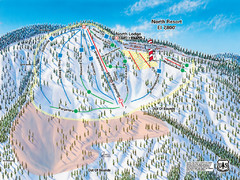
Mountain High Resort North Resort Ski Trail Map
Trail map from Mountain High Resort, which provides downhill, night, and terrain park skiing. It...
327 miles away
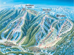
Mountain High Ski Trail Map - East and West Resort
Official ski trail map of Mountain High ski area for the East Resort and West Resort
327 miles away
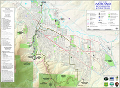
Ashland Trails Map
Trail map of Ashland, Oregon. Shows bicycle routes and public parks and trails.
329 miles away
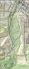
Lithia Park Trail Map
Trail map of Lithia Park in town of Ashland, Oregon. Adjacent to the Oregon Shakespeare Festival.
329 miles away

South Los Angeles Tourist Map
330 miles away
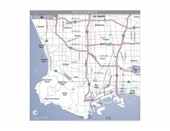
South Beach Cities, Los Angeles, California Map
Tourist map of the South Beach cities, near Los Angeles, California. Shows museums, aquariums, and...
331 miles away

BTS Route Map
Map of BTS bus routes throughout Klamath Falls
331 miles away
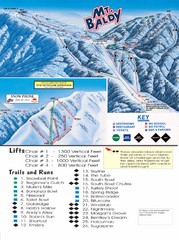
Mount Baldy Trail Map
334 miles away
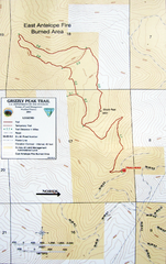
Grizzly Peak Trail Map
Topographic trail map of Grizzly Peak near Ashland, Oregon. Shows trails and distances. From...
334 miles away
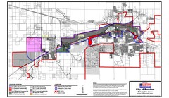
City of Barstow Zoning Map
Map illustrates the zoning and boundary areas of the city of Barstow.
334 miles away
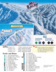
Mt. Baldy Ski Trail Map
Official ski trail map of Mount Baldy Ski Lifts ski area
334 miles away
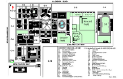
Cerritos College Campus Map
Cerritos College Campus Map. Shows all areas.
335 miles away
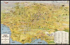
Los Angeles – the wonder city of America...
Leuschner's 1934 map "Los Angeles – the wonder city of America".
335 miles away
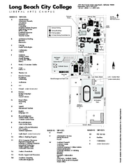
Long Beach City College - Liberal Arts Campus Map
Long Beach City College Liberal Arts Campus Map. All buildings shown.
335 miles away
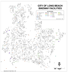
Long Beach Bike Routes Map
336 miles away
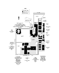
Long Beach City College - Pacific Coast Campus Map
Long Beach City College - Pacific Coast Campus Map. All buildings shown.
336 miles away
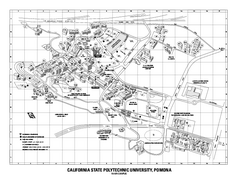
Cal Poly Pomona Map
Cal Poly Pomona Campus Map. All areas shown.
336 miles away
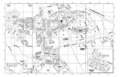
Cal Poly Pomona Campus Map
336 miles away
Cal Poly Pomona Map
336 miles away

Long Beach, California City Map
337 miles away
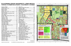
California State University at Long Beach Map
Campus Map of California State University at Long Beach. All buildings shown.
337 miles away
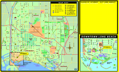
Bike Routes, Long Beach, California Map
Bicycle path map of Long Beach, California. Shows bike paths, bike centers, and public...
337 miles away
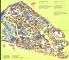
Japanese Village and Deer Park Map
Large and clear map.
338 miles away
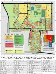
CSU Long Beach Campus Map
339 miles away
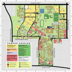
California State University Long Beach Map
Parking and Visitor Map of CSU Long Beach. Shows locations of all buildings, streets, and detailed...
339 miles away
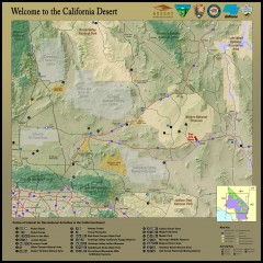
California Desert Recreation Map
Shows points of interest for recreational activities in the California desert
339 miles away

Bear Creek Greenway Map
Trail map of the Bear Creek Greenway connecting Central Point to Ashland, Oregon. Will eventually...
340 miles away
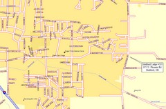
Medford, Oregon City Map
340 miles away
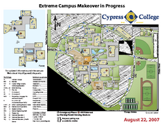
Cypress College Campus Map
Cypress College Campus Map. All buildings shown.
340 miles away
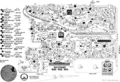
Knott's Berry Farm, Halloween 1976 Map
340 miles away

