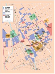
San Jose Downtown map
San Jose sowntown street map showing public transportation and parking.
14 miles away
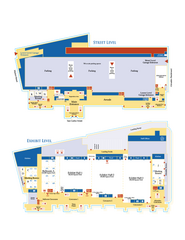
McEnery Convention Center, San Jose, California...
Floorplan map of McEnery Convention Center in San Jose, California.
15 miles away
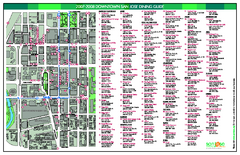
Dining in Downtown San Jose, California Map
Map of dining opportunities in downtown San Jose, California. Shows locations and telephone numbers...
15 miles away
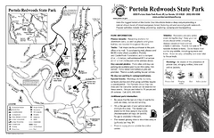
Portola Redwoods State Park Campground Map
Map of campground region of park with detail of trails and recreation zones
15 miles away
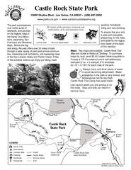
Castle Rock State Park Map
Map of park with detail of trails and recreation zones
15 miles away

San Jose, California City Map
16 miles away
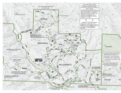
Sunol Regional Wilderness Trail Map - West
Trail map of western portion of Sunol Regional Wilderness in Sunol, California.
16 miles away
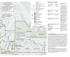
Sunol Regional Wilderness Trail Map - East
Trail map of eastern portion of Sunol Regional Wilderness in Sunol, California.
16 miles away
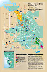
San Jose Enterprise Zone map
Map of Enterprise Zone in San Jose, CA
16 miles away
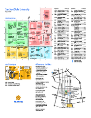
San Jose State University Map
Campus Map of San Jose State University in California. All buildings are shown.
16 miles away
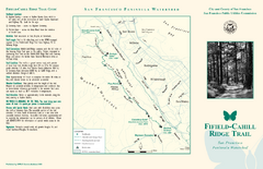
Fifield-Cahill Ridge Trail Map
Trail map and brochure of the Fifield-Cahill Ridge Trail in the San Francisco Peninsula Watershed.
16 miles away
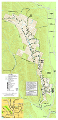
Pleasanton Ridge Regional Park Map
17 miles away
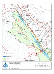
Fifield-Cahill Ridge Trail Map
Trail map of the Fifield-Cahill Ridge Trail in the San Francisco Peninsula Watershed.
18 miles away
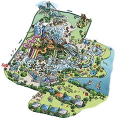
Raging Waters San Jose Map
Simple map of this fun water park for the whole family!
18 miles away
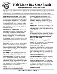
Half Moon Bay State Beach Campground Map
Map of beach with detail of trails and recreation zones
19 miles away
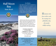
Half Moon Bay State Beach Map
Map of beach with detail of trails and recreation zones
19 miles away
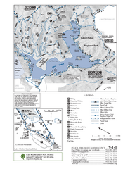
Lake Chabot Trail Map
19 miles away
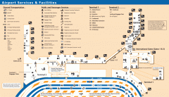
Oakland International Airport (OAK) Map
Terminal map. Shows all airport services and facilities
19 miles away
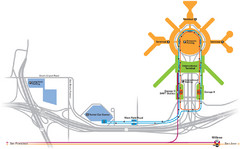
San Francisco International Airport Map
19 miles away
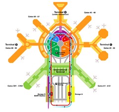
San Francisco Initernational Airport SFO Terminal...
AirTrain, airline, and gate locations map of SFO.
19 miles away
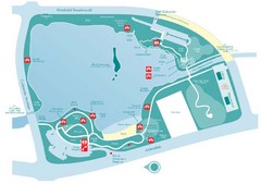
Almaden Lake Park Map
19 miles away
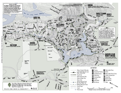
Anthony Chabot Regional Park Map - South
20 miles away
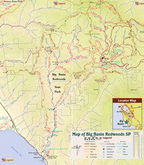
Big Basin Redwoods State Park Trail Map
Topographical trail map of Big Basin Redwoods State Park. Shows roads, trails, natural and other...
20 miles away
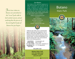
Butano State Park Map
Map of park with detail of trails and recreation zones
20 miles away
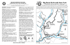
Big Basin Redwoods State Park Map
Map of park with detail of trails and recreation zones
20 miles away

1895 San Francisco Bay Area Map
Guide to the San Francisco Bay Area in 1895
20 miles away
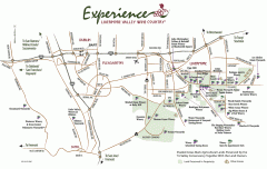
Livermore Valley Wineries, California Map
Map of wineries in Livermore Valley, California. Shows wineries, olive groves, and preserved land.
21 miles away
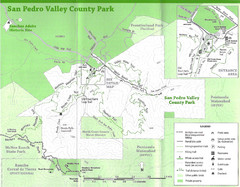
San Pedro Valley County Park Map
Trail map of San Pedro Valley County Park. 1,100 acre park with miles of trails and waterfall...
22 miles away
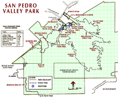
San Pedro Valley Park Map
Park map of San Pedro Valley County Park in San Mateo County, California.
22 miles away
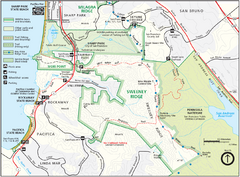
Sweeney Ridge Map
Trail map of Sweeney Ridge, part of the Golden Gate National Recreational Area.
22 miles away
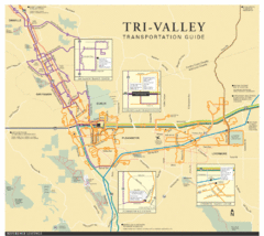
Tri Valley Transportation and Road Map
The Tri Valley cities roads and routes.
22 miles away
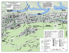
Leona Canyon Regional Open Space Preserve Map
23 miles away
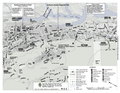
Anthony Chabot Regional Park Map - North
Trail map of the north section of Anthony Chabot Regional Park in the East Bay Hills.
23 miles away

Ano Nuevo State Park Map
Map of park with detail of trails and recreation zones
23 miles away
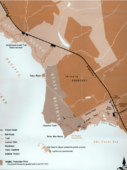
Ano Nuevo State Park Map
Map of park with detail of trails and recreation zones
23 miles away
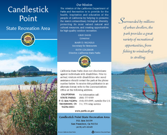
Candlestick Point Recreation Area Map
Map of park with detail of trails and recreation zones
23 miles away
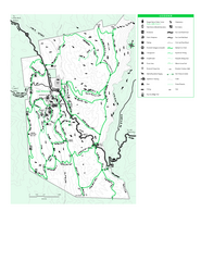
Joseph D. Grant County Park Map
Trail map of Joseph D Grant County Park in Santa Clara County, California
24 miles away
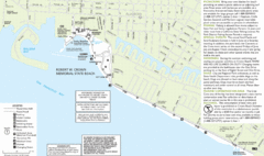
Crown Memorial State Beach Map
24 miles away
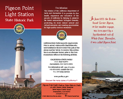
Pigeon Point Light Station State Historic Park Map
Map of park with detail of trails and recreation zones
24 miles away
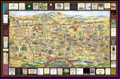
Livermore Winery Tour Map
Livermore Valley Wine Map & Visitors Guide - A great source for information about the Livermore...
24 miles away

