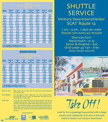
SCAT Shuttle Map: Ventura Harbor to Downtown...
Shuttle bus route map of SCAT Shuttle between Ventura Harbor and downtown Ventura, California...
270 miles away

San Buenaventura Map
270 miles away
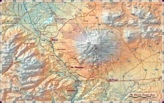
Mt. Shasta Scenic Area map
Great map of the Mt. Shasta region. Shows roads (including 4WD), mountains, lakes, and hiking...
272 miles away
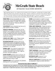
McGrath State Beach Campground Map
Map of beach and park with detail of trails and recreation zones
274 miles away
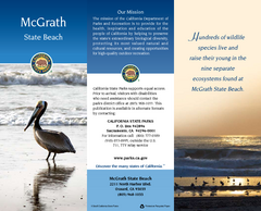
McGrath State Beach Map
Map of beach and park with detail of trails and recreation zones
274 miles away
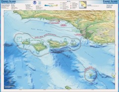
Channel Islands National Marine Sanctuary Map
Topo and bathymetric map of Channel Islands National Marine Sanctuary, located about 23 miles from...
275 miles away

Burning Map 2005 Map
Artistic representation of Burning Man's Black Rock City.
277 miles away

Redwood National Park Map
277 miles away
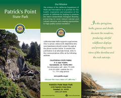
Patrick's Point State Park Map
Map of park with detail of trails and recreation zones
277 miles away
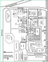
Oxnard College Map
279 miles away
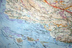
Oxnard California Fault Lines Map
FAULT MAP OF THE SANTA BARBARA TO OXNARD COASTAL AREA THE MESA-RINCON CREEK FAULT LIES DIRECTLY...
279 miles away
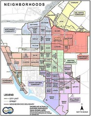
Oxnard California Neighborhoods Map
Neighborhoods: * Del Norte District o El Rio o El Rio West o...
279 miles away
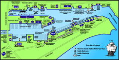
Channel Islands Harbor, California Map
Tourist map of Channel Islands Harbor, California. Shows water taxi stops, restaurants, parks, and...
279 miles away

Pacific Crest Trail Map
Shows entire route of 2,650 mile Pacific Crest Trail from Mexico to Canada.
282 miles away
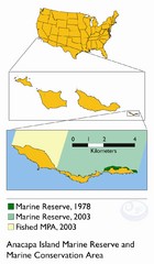
Anacapa Island Marine Reserve Map
282 miles away
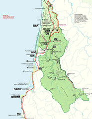
Prairie Crek State Park Map
282 miles away
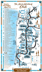
Orick Redwood National Park Map
285 miles away
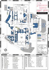
California State University Channel Islands Map
Campus Map
285 miles away
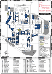
California State University Channel Islands...
Campus map of California State University Channel Islands (CSUCI).
285 miles away
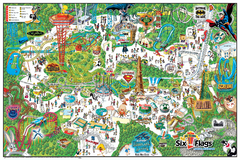
Six Flags Magic Mountain Theme Park Map
Official park map of Six Flags Magic Mountain, California.
287 miles away
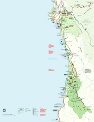
Redwood National Park Map
Official NPS map of Redwood National Park, California. Also shows Jedediah Smith Redwoods State...
287 miles away
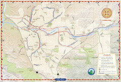
Santa Clarita Trail Map
291 miles away
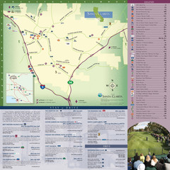
Santa Clarita Tourist Map
Tourist map of Santa Clarita, California
291 miles away
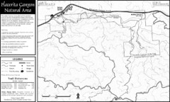
Placerita Canyon Trail Map
292 miles away
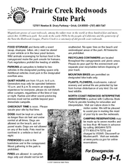
Prairie Creek Redwoods State Park Campground Map
Map of campground region of park with detail of trails and recreation zones
292 miles away
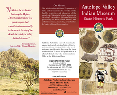
Antelope Valley State Park Map
Map of park with detail of of trails and recreation zones
292 miles away
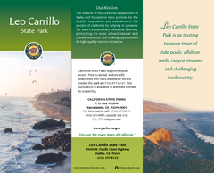
Leo Carrillo State Park Map
Map of park with detail of trails and recreation zones
294 miles away
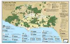
Santa Monica Mountains Area Trail map
Trail map of the Santa Monica Mountains National Recreation Area. Highlights information about...
296 miles away
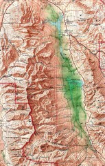
Death Valley National Park Map
298 miles away
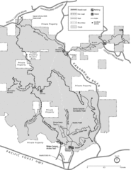
Zuma Trancas Canyon Map
Trail map of Zuma Canyon and Trancas Canyon near Malibu, CA in the Santa Monica Mountains. End of...
299 miles away
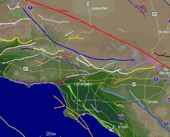
Southern California Fault Lines Map
The red line on this map of southern California is the San Andreas fault. Other lines represent...
299 miles away
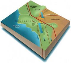
Southern California Compressional Fold Belts Map
Diagram of southern California showing the San Andreas Fault as a master player in a tectonic...
299 miles away
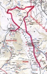
Death Valley Guide Map
299 miles away
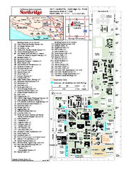
California State University at Northridge Map
Campus Map of the California State University at Northridge. All buildings shown.
299 miles away
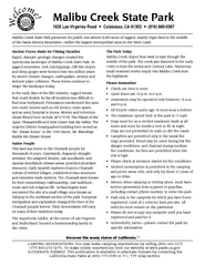
Malibu Creek State Park Campground Map
Map of campground region of park with detail of trails and recreation zones
300 miles away
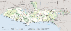
Santa Monica Mountains National Recreation Area...
Map of the entire Santa Monica Mountains National Recreation Area
300 miles away
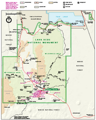
Lava Beds National Monument official park map
Official park map of Lava Beds National Monument. Shows trails, roads, cave entrances, and lava...
300 miles away
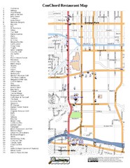
Woodland Hills, California Restaurant Map
300 miles away
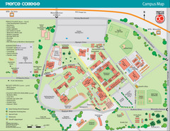
Pierce College Campus Map
Pierce College Campus Map. Located in Woodland Hills, California. Shows all areas.
300 miles away

