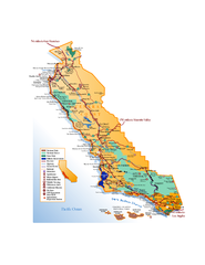
California Central Coast Map
Large tourist map of California's Central Coast. From Monterey to Santa Barbara. Shows all...
171 miles away

Mammoth Mountain Downhill Skiing Trails Map
Downhill skiing trails on Mammoth Mountain, near Mammoth Lakes, California. Shows trails and their...
171 miles away
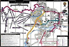
Mammoth Town Map
Map of Mammoth, including shuttle lines
171 miles away
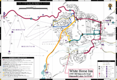
Mammoth Town Map
Town of Mammoth Lakes with shuttle lines included
172 miles away
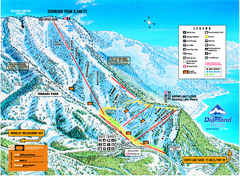
Diamond Peak Ski Trail Map
Trail map from Diamond Peak.
172 miles away
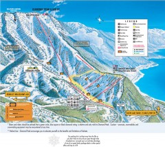
Diamond Peak Ski Trail Map
Official ski trail map of Diamond Peak ski area from the 2007-2008 season.
172 miles away
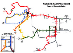
Mammoth Transit Map
Map of Mammoth transit system
172 miles away
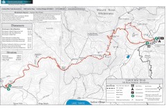
Tahoe Rim Trail: Brockway Summit to Tahoe Meadows...
Trail map of the Brockway Summit-Tahoe Meadows leg of the Tahoe Rim Trail. Bike trails, hiking...
173 miles away
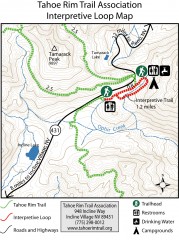
Tahoe Rim Trail: Interpretive Loop, Lake Tahoe...
Trail map of the Tahoe Rim Trail's Interpretive Loop Trail. Shows both trails, camping...
173 miles away
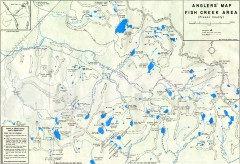
Fish Creek Area Anglers' Map
Hand-drawn fishing map of lakes, peaks, and trails in the Fish Creek Area of the John Muir...
173 miles away
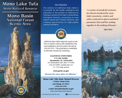
Mono Lake Tufa State Natural Reserve Map
Map of reserve with detail of trails and recreation zones
173 miles away
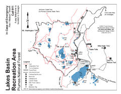
Lakes Basin Recreation Area Trail Map
Trail map of Lakes Basin Recreation Area in Plumas National Forest near Graeagle, California...
173 miles away

San Joaquin Valley Air Basin Map
This map is used to track air monitoring locations in periodic progress reports.
174 miles away
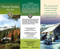
Plumas-Eureka State Park Map
Map of park with detail of trails and recreation zones
176 miles away

Bodie State Park SW Map
Map of park with detail of trails and recreation zones
177 miles away

Bodie State Park SE Map
Map of park with detail of trails and recreation zones
177 miles away
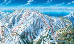
Mt. Rose Ski Trail Map
Official ski trail map of Mt. Rose ski area
177 miles away
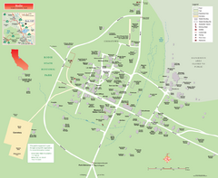
Bodie State Park Map
Map of park with detail of trails and recreation zones
177 miles away

Bodie State Park NW Map
Map of park with detail of trails and recreation zones
177 miles away
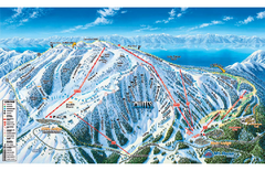
Mt. Rose Ski Tahoe Ski Trail Map
Trail map from Mt. Rose Ski Tahoe.
177 miles away

Carson River Aquatic Trail Map
177 miles away

Bodie State Park NE Map
Map of park with detail of trails and recreation zones
177 miles away
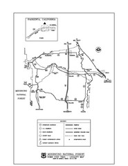
Mendocino National Forest map
Map of the Nome Cult Trail Walk in the Mendocino National Forest.
179 miles away
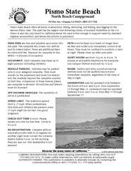
Pismo Beach North Campground Map
Map of park with detail of trails and recreation zones
180 miles away
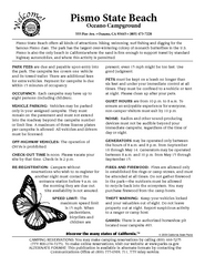
Pismo Beach Oceano Campground Map
Map of oceano campground region of park with detail of trails and recreation zones
182 miles away
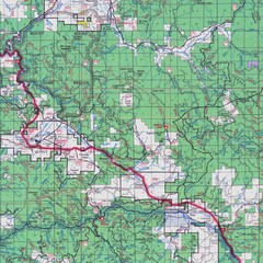
Lassen National Park Map
Forest Visitor Map showing locations of most camping and recreational areas in the eastern part of...
185 miles away

Colonel Allensworth State Historic Park Map
Map of park with detail of trails and recreation zones
186 miles away
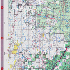
Lassen National Park Map
Visitor Map that shows most of Lassen National Forest with locations of camp grounds and...
187 miles away
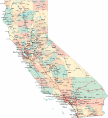
California Road Map
188 miles away
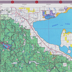
Lassen National Park Map
Forest Visitor Map of the farthest east of the park, shows all camping and recreational areas and...
189 miles away
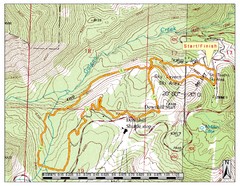
Sky Tavern XC Route Map
Topo map of the XC course for the cycling event.
189 miles away

Downtown Reno, Nevada Map
Tourist map of Reno, Nevada. Event and convention centers, visitor's center, parks, and other...
190 miles away

Reno Tahoe Tourist Map
190 miles away

Reno, Nevada City Map
190 miles away
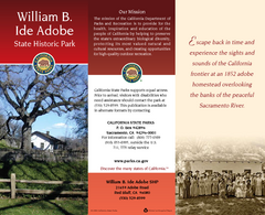
William B. Ide Adobe State Historic Park Map
Map of park with detail of trails and recreation zones
190 miles away
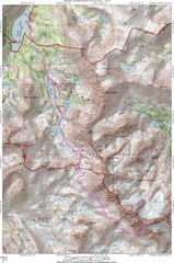
North Palisade South Lake Route Topo Map
Topo map of route from South Lake to North Palisade, 14,242 ft.
198 miles away
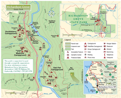
Richardson Grove State Park Map
Park map of Richardson Grove State Park, California. Shows trails, campgrounds, and other...
200 miles away
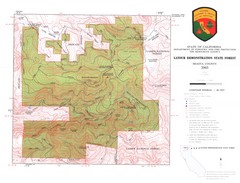
Latour State Forest Map
Countour map of the Latour Demonstration Forest.
203 miles away
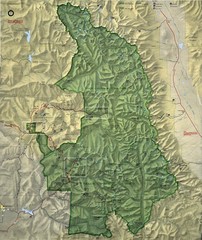
King Canyon and Seqouia Nationa Parks Map
203 miles away
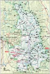
Sequoia National Park map and Kings Canyon...
Official park map of Sequoia National Park and Kings Canyon National Park.
204 miles away

