
Chico, California City Map
160 miles away
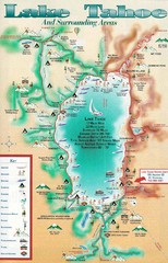
Lake Tahoe and nearby activities Map
Lake Tahoe and nearby resorts and activities
160 miles away
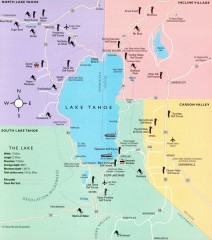
Lake Tahoe Area, California Map
Recreation map of Lake Tahoe, California. Points of interest shown include golfing, skiing, and...
160 miles away
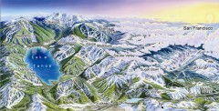
Lake Tahoe Ski Resort map
Winter map of Lake Tahoe showing relative position of all ski resorts. South-facing view. Created...
160 miles away

Digital Elevation Model Satellite Tahoe Map
Digital Elevation Models
160 miles away
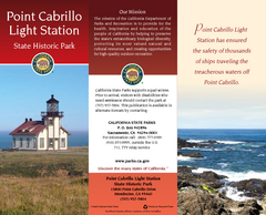
Point Cabrillo Light Station State Historic Park...
Map of park with detail of trails and recreation zones
161 miles away
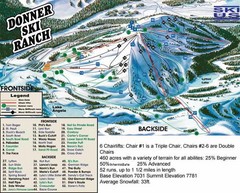
Donner Ski Ranch Ski Trail Map
Trail map from Donner Ski Ranch, which provides downhill and terrain park skiing. It has 6 lifts...
161 miles away
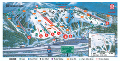
Boreal Ski Trail Map
Official ski trail map of Boreal ski area
161 miles away
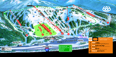
Boreal Mountain Resort Ski Trail Map
Trail map from Boreal Mountain Resort, which provides downhill, night, and terrain park skiing. It...
161 miles away
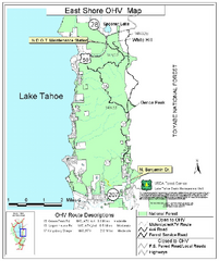
East Shore Lake Tahoe Off-highway Vehicle Map
Off-highway vehicle map of the East Shore of Lake Tahoe, California. Shows roads open to...
162 miles away
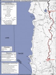
Tahoe Rim Trail: Spooner Summit to Kingsbury...
Topographic hiking map of the Spooner Summit-Kingsbury North leg of the Tahoe Rim Trail. Bike and...
162 miles away
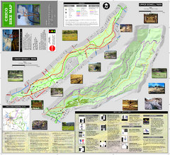
Upper and Lower Bidwell Park Bike Map
Bike map of Upper Bidwell Park and Lower Bidwell Park in Chico, California
162 miles away
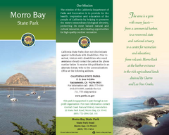
Morro Bay State Park Map
Map of park with detail of trails and recreation zones
162 miles away
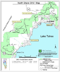
North Shore Lake Tahoe Off-Highway Vehicle Map
Off-highway vehicle map of the area around the North shore of Lake Tahoe. Roads open to motorcycles...
163 miles away
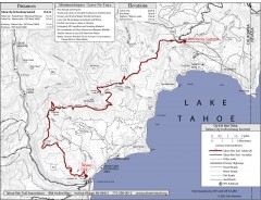
Tahoe Rim Trail: Tahoe City to Brockway Summit Map
Topographic hiking map of the Tahoe City-Brockway Summit leg of the Tahoe Rim Trail. Shows trail...
164 miles away
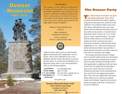
Donner Memorial State Park Map
Map of park with detail of trails and recreation zones
164 miles away
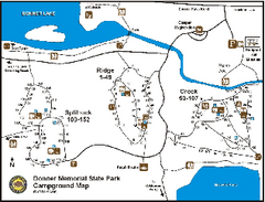
Donner Memorial State Park Campground Map
Map of park with detail of trails and recreation zones
164 miles away
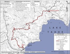
Tahoe Rim Trail Map
164 miles away
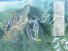
Northstar-at-Tahoe Ski Trail Map
Official trail map of Northstar-at-Tahoe ski area from the 2009-2010 season
164 miles away
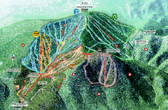
Northstar Ski Trail Map
Official ski trail map of Northstar-at-Tahoe ski area from the 2007-2008 season.
165 miles away

Tahoe Donner Ski Trail Map
Trail map from Tahoe Donner, which provides downhill, night, and nordic skiing. It has 3 lifts...
165 miles away
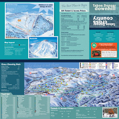
Tahoe Donner Cross Country Ski Trail Map
Ski trail map of Tahoe Donner Association. Shows both downhill and cross-country ski trails...
166 miles away
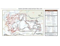
Tahoe Donner Ski Trail Map
Official ski trail map of Tahoe Donner Association. Shows both downhill and cross-country ski...
166 miles away
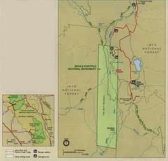
Devil's Postpile National Monument Map
166 miles away
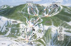
June Mountain Ski Trail Map
Official ski trail map of June Mountain ski area from the 2007-2008 season.
168 miles away
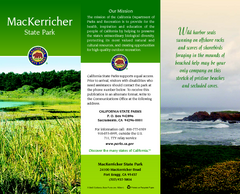
MacKerricher State Park Map
Map of park with detail of trails and recreation zones
168 miles away
MacKerricher State Park Campground Map
Map of campground region of park with detail of trails and recreation zones
168 miles away
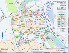
Cal Poly Campus Map
Cal Poly University at San Luis Obispo Campus Map. Includes all buildings, streets, sports fields...
169 miles away
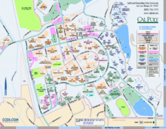
Cal Poly Campus Map
Campus map of California Polytechnic State University in San Luis Obispo, CA
169 miles away
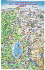
Reno and Lake Tahoe Area Golf map
Illustrated map showing all golf courses in the Reno/lake Tahoe area, 2006 version. To view more...
169 miles away
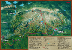
Mammoth Mountain Bike Park Map
Shows all trails at the Mammoth Mountain Bike Park.
169 miles away

Mammoth Mountain Ski Trail Map
Trail map from Mammoth Mountain, which provides downhill, nordic, and terrain park skiing. It has...
169 miles away
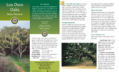
Los Osos Oaks State Reserve Map
Map of reserve with detail of trails and recreation zones
169 miles away
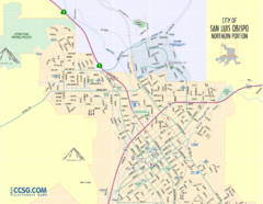
San Luis Obispo City Map - Northern Portion
City map of northern portion of San Luis Obispo, California
169 miles away

Sierra High Route Map
Guide to the Sierra High Route, one of the most challenging treks in the Sierras
169 miles away
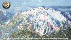
Mammoth Mountain Ski Trail map 2005
Official ski trail map of Mammoth Mountain ski area from the 2005-2006 season.
170 miles away
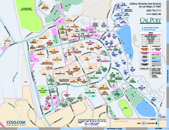
California Polytechnic State University Map
California Polytechnic State University Campus Map. All buildings shown.
170 miles away
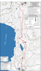
Tahoe Rim Trail: Tahoe Meadows to Spooner Summit...
Topographic hiking map of the Tahoe Meadows-Spooner Summit leg of the Tahoe Rim Trail. Shows bike...
170 miles away
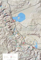
Eastern Sierra Trailhead Map - Lee Vining and...
Shows ranger stations and major trailheads in the eastern Sierra Nevada in the Mono Lake and...
171 miles away


