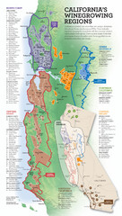
California Wine Map
Wine region map of state of California. Shows 100 American Viticultural Areas (AVAs). There are 4...
153 miles away
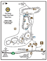
Sugar Pine Point State Park Campground Map
Map of campground region of park with detail of trails and recreation zones
154 miles away
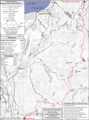
Tahoe Rim Trail: Kingsbury South to Big Meadows...
Topographic hiking map of the Kingsbury South-Big Meadows leg of the Tahoe Rim Trail. Shows...
154 miles away
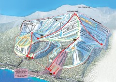
Homewood Ski Trail Map
Official ski trail map of Homewood ski area from the 2007-2008 season.
154 miles away
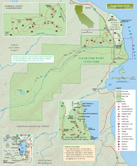
Sugar Pine Point State Park Map
Map of park with detail of trails and recreation zones
154 miles away
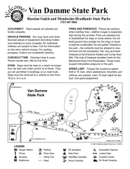
Van Damme State Park Campground Map
Map of campground region of park with detail of trails and recreation zones
154 miles away
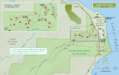
Sugar Pine Point State Park North Map
Map of northern region of park with detail of trails and recreation zones
154 miles away
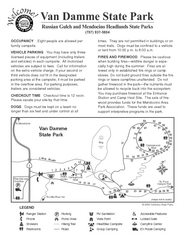
Van Damme State Park Campground Map
Map of campground region of park with detail of trails and recreation zones
154 miles away
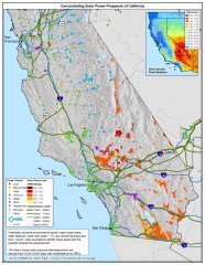
Concentrating Solar Power Prospects California Map
Shows power plants, concentrating solar resources, and transmission lines for all of California...
154 miles away

Van Damme State Park Map
Park map of Van Damme State Park near Mendocino, California. Show Fern Valley Trail through...
155 miles away
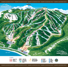
Homewood Mountain Resort Ski Trail Map
Trail map from Homewood Mountain Resort, which provides downhill and terrain park skiing. It has 7...
155 miles away
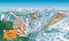
Alpine Meadows Ski Trail Map (Front)
Official ski trail map of Alpine Meadows ski area from the 2005-2006 season.
155 miles away
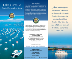
Lake Oroville State Recreation Area Map
Map of recreation area with detail of trails and recreation zones
155 miles away
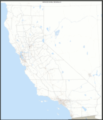
California Zip Code Map
Check out this Zip code map and every other state and county zip code map zipcodeguy.com.
155 miles away
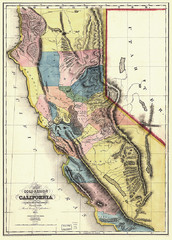
1851 California Regional Map
Great quality map of Californian regions in 1851.
155 miles away
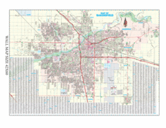
Bakersfield, California City Map
155 miles away
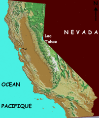
California elevation Map
California map showing elevations by contours, with Lake Tahoe identified.
155 miles away
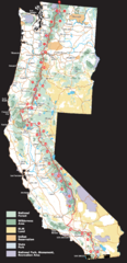
Pacific Crest Trail Route Overview Map
Western United States Map showing National Forests, State Parks, National Parks, Indian...
155 miles away
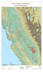
Dairy Locations and Herd Size for the Central...
Map of dairy locations, displayed by herd size in California's Central Valley. Base map...
155 miles away
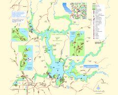
Lake Oroville State Recreation Area Map
Map of recreation area with detail of trails and recreation zones
156 miles away
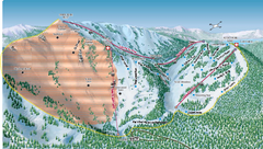
Alpine Meadows Ski Area Backside Ski Trail Map
Trail map from Alpine Meadows Ski Area, which provides downhill and terrain park skiing. It has 13...
156 miles away
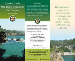
Mendocino Headlands State Parks Map
Map of parks with detail of trails and recreation zones
156 miles away
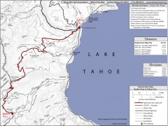
Tahoe Rim Trail: Barker Pass to Tahoe City Map
Topographic hiking map of the Barker Pass-Tahoe City leg of the Tahoe Rim Trail. Shows trailheads...
156 miles away
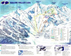
Squaw Valley Ski Trail Map
Scan of ski trail map of Squaw Valley ski area from the 2000-2001 season.
157 miles away
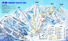
Squaw Valley USA Trail Map
Trail map of Squaw Valley ski area in Lake Tahoe, California
157 miles away
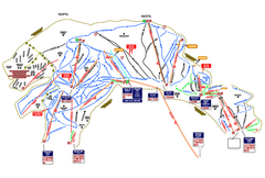
Heavenly Ski Resort Ski Trail Map
Trail map from Heavenly Ski Resort, which provides downhill, nordic, and terrain park skiing. It...
157 miles away
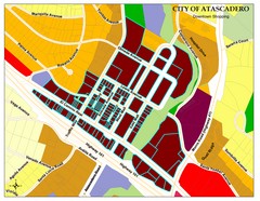
City of Atascadero Map
157 miles away
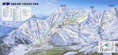
Squaw Valley USA Ski Trail Map
Trail map from Squaw Valley USA, which provides downhill, night, nordic, and terrain park skiing...
158 miles away
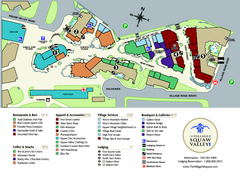
Squaw Valley Base Village Map
Village map of base of Squaw Valley Ski Resort, Lake Tahoe, California. Shows all restaurants...
158 miles away
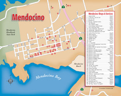
Mendocino Tourist Map
Tourist map of town of Mendocino, California. Shows shops and services.
158 miles away
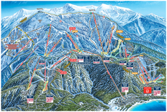
Heavenly Valley Ski Trail Map
Official ski trail map of Heavenly Valley ski area from the 2007-2008 season.
158 miles away
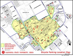
California State University, Chico Bike Parking...
Map that highlights all the available bike parking area and bike routes throughout the campus and...
158 miles away
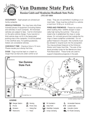
Russian Gulch State Park Campground Map
Map of campground region of park with detail of trails and recreation zones
158 miles away
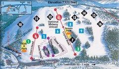
Soda Springs Ski Trail Map
Trail map from Soda Springs, which provides downhill and terrain park skiing. It has 2 lifts...
159 miles away
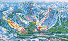
Sugar Bowl Resort Ski Trail Map
Trail map from Sugar Bowl Resort, which provides downhill and terrain park skiing. It has 12 lifts...
160 miles away
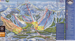
Sugar Bowl Ski Trail Map
Ski trail map of Sugar Bowl ski area from the 2008-09 season. Scanned.
160 miles away
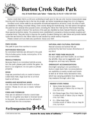
Burton Creek State Park Map
Map of park with detail of trails and recreation zones
160 miles away
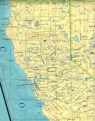
Northern California Map
Map of Northern California including cities, counties, and rivers
160 miles away
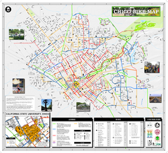
Chico Bike Map
Bicycle route map of Chico, California
160 miles away
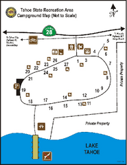
Tahoe State Recreation Area Campground Map
Map of park with detail of trails and recreation zones
160 miles away

