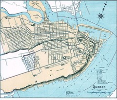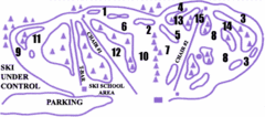
Lost Valley Ski Area Ski Trail Map
Trail map from Lost Valley Ski Area.
157 miles away
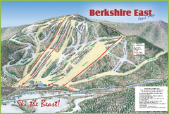
Berkshire East Ski Area Ski Trail Map
Trail map from Berkshire East Ski Area.
157 miles away
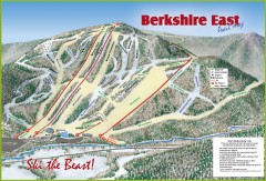
Berkshire East Ski Trail Map
Official ski trail map of Berkshire East ski area from the 2007-2008 season.
157 miles away
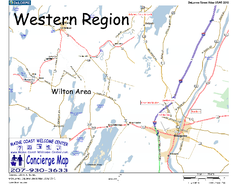
Western Maine, USA Map
Maine Coast Welcome Center's local Map of Western Maine with recommended business locations.
158 miles away
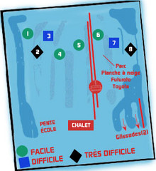
St Raymond Ski Trail Map
Trail map from St Raymond.
158 miles away
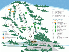
McIntyre Ski Trail Map
Official ski trail map of McIntyre ski area.
159 miles away
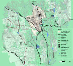
Mt. Grace State Forest trail map
Trail map of Mt. Grace State Forest near Warwick, Massachusetts.
159 miles away
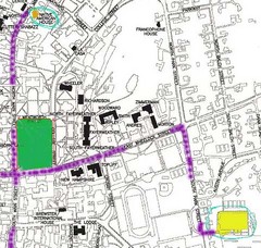
Manchester, New Hampshire City Map
159 miles away
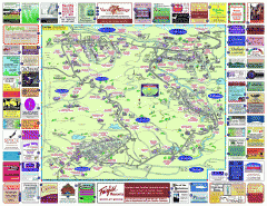
North County Berkshires map
Tourist map of North County - Pittsfield, N. Adams, Adams, Lanesboro, Cheshire, Williamstown...
159 miles away
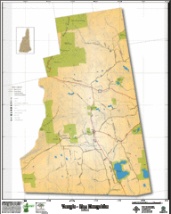
Temple NH Topo Map
Topographical map of Temple, NH area. Shows all roads and points of interest.
159 miles away
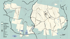
Kenneth Dubuque Memorial State Park trail map
Trail map of the Kenneth Dubuque state park conservation area in Massachusetts.
159 miles away
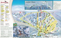
Jiminy Peak Ski Trail Map
Official ski trail map of Jiminy Peak ski area from the 2007-2008 season.
160 miles away
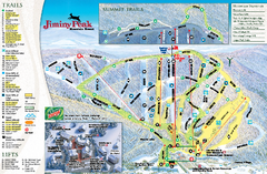
Jiminy Peak Resort Ski Trail Map
Trail map from Jiminy Peak Resort.
161 miles away
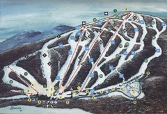
Brodie Ski Trail Map
Trail map from Brodie.
161 miles away
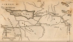
Antique map of Utica, NY from 1830
Map of Utica, NY from The Northern Traveller, and Northern Tour; with the Routes to The Springs...
162 miles away
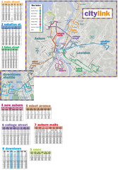
Citylink Route Map
Map of citylink bus routes throughout Auburn and Lewiston, Maine
162 miles away
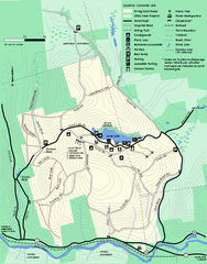
Erving Summer trail map
Summer use map of Erving State Park in Massachusetts.
163 miles away
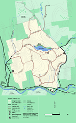
Erving State Park winter use map
Winter use map of the Erving State Park in Massachusetts
163 miles away
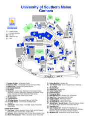
University of Southern Maine - Gorham Map
163 miles away
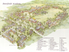
Deerfield Academy Campus Map
Shows buildings and facilities of Deerfield Academy. Scanned.
164 miles away
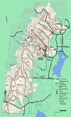
Pittsfield State Forest winter trail map
Winter use trail map of Pittsfield State Forest in Massachusetts.
165 miles away
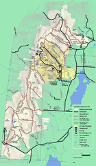
Pittsfield State Forest summer trail map
Summer use trail map of Pittsfield State Forest in Massachusetts.
165 miles away
Mt. Watatic to Wachusett Mountain, Massachusetts...
166 miles away
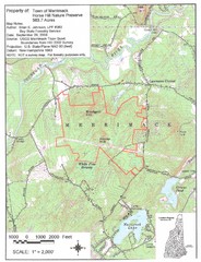
Merrimack Topo Map
A Topographical map Horse Hill Nature Preserve.
166 miles away
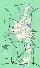
Otter River State Forest winter trail map
Winter usage trail map for Otter River State Park in Massachusetts.
166 miles away
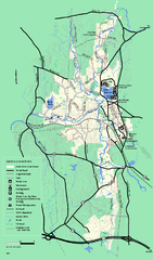
Otter River State Forest summer trail map
Summer trail map of the Otter River State Forest area in Massachusetts.
167 miles away
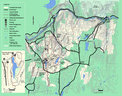
Wendell State Forest trail map
Trail map of Wendell State Forest in Massachusetts.
167 miles away
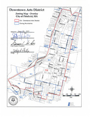
Pittsfield,, Massachusetts City Map
167 miles away
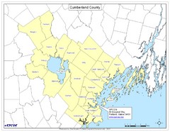
Cumberland County Map
Map showing all city divisions of Cumberland County, Maryland with specific location of the CPCOG.
168 miles away
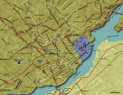
Quebec City Tourist Map
168 miles away
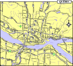
Quebec Tourist Map
168 miles away
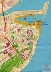
Quebec Canada Tourist Map
Tourist map of Quebec, Canada showing inside town walls, lower town and old port. Tourist sites...
168 miles away
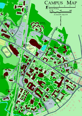
University of New Hampshire Campus Map
University of New Hampshire Campus Map
168 miles away
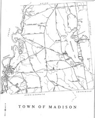
Madison Town Map
168 miles away
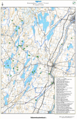
Kennebec Land Trust Map
Map of properties of the Kennebec Land Trust in Maine.
168 miles away
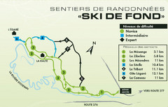
Mont Orignal Ski Trail Map
Trail map from Mont Orignal, which provides downhill and nordic skiing. This ski area has its own...
169 miles away
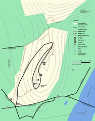
Mt. Sugarloaf State Reservation trail map
Trail map of Mount Sugarloaf State Reservation
169 miles away
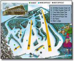
Bousquet Ski Area Ski Trail Map
Trail map from Bousquet Ski Area.
170 miles away
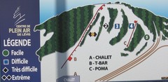
Centre de Plein Air Levis Ski Trail Map
Trail map from Centre de Plein Air Levis.
170 miles away

