Mt. Pisgah State Park map
Detailed recreation map for Mt Pisgah State Park in Pennsylvania
272 miles away

Eastern Long Island Placemat map
Photo of a placemat map from Gosman's Dock Restaurant in Montauk, NY. Shows eastern Long...
272 miles away
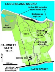
Caumsett State Park Map
Park map of Caumsett State Park on Long Island Sound, New York
273 miles away
Appalachian National Scenic Trail Map
Scenic trail Maine to Georgia
273 miles away
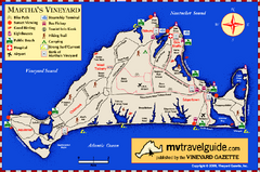
Martha's Vineyard Island Map
Tourist map of island of Martha's Vineyard, Massachusetts.
273 miles away
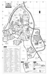
Stony Brook University Map
274 miles away

Urban Neighborhood Map: Long Island Map
This Urban Neighborhood Poster of Long Island is a modern twist on traditional maps. The typography...
274 miles away
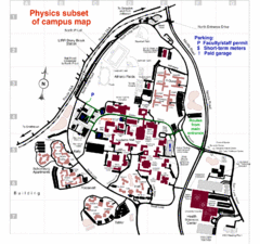
University of New York at Stony Brook Campus Map
274 miles away
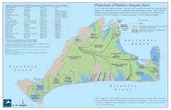
Martha's Vineyard Watershed Map
276 miles away
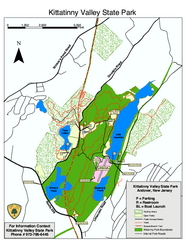
Kittatinny Valley State Park trail map
Trail map of Kittatinny Valley State Park in New Jersey. Shows hunting areas and trails.
276 miles away
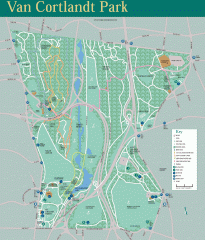
Van Cortlandt Park Trail Map
Trail map of Van Cortlandt Park in the Bronx. Covers 573 acres.
277 miles away
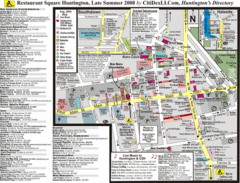
Huntington, New York Restaurant Map
277 miles away
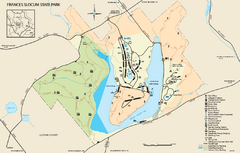
Frances Slocum State Park map
Detailed map of Frances Slocum State Park in Pennsylvania.
277 miles away
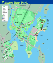
Pelham Bay Park NYC Map
Official detailed map of Pelham bay park, the largest park in New York City at 2,700 acres. Map...
278 miles away
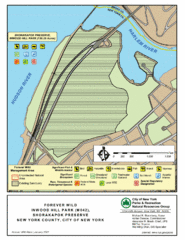
Inwood Hill Park Map
Park map of Inwood Hill Park in the Shorakapok Preserve, New York. 136 acres.
278 miles away
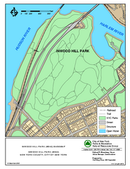
Inwood Hill Park Trail Map
Trail map of Inwood Hill Park located at the extreme northern tip of Manhattan. 136 acres.
278 miles away
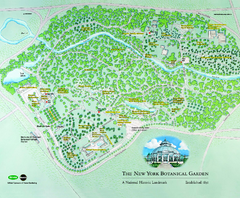
The New York Botanical Garden Map
Official Map of The New York Botanical Garden in New York. Shows all areas and different gardens.
279 miles away
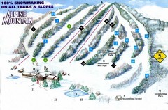
Alpine Mountain Ski Trail Map
Trail map from Alpine Mountain.
279 miles away
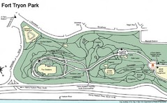
Fort Tyron Park Map
279 miles away

City Island Street Map
Street map of City Island, New York
279 miles away
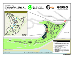
Highbridge Park mountain bike trail map
Mountain biking trail network opened in May 2007. Only mountain biking trails in Manhattan. 25...
279 miles away
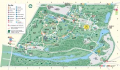
Bronx Zoo Map
Bronx Zoo. The Zoo is open 365 days a year. "Now through November 4, 2007, our hours are 10...
280 miles away
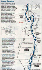
Deleware River Boat Map
280 miles away
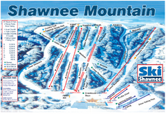
Shawnee Mountain Ski Trail Map
Trail map from Shawnee Mountain.
280 miles away
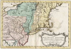
1773 New England Map
French map of New England
281 miles away
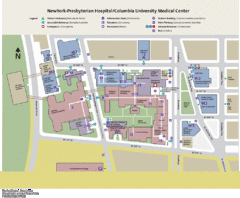
Columbia University Medical Center Map
281 miles away
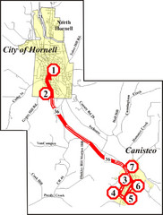
Canisteo-Hornell Bus Route Map
281 miles away
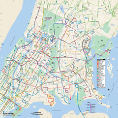
Bronx, New York Bus Map
Official MTA Bus Map of all of the Bronx, New York. Shows all routes.
281 miles away
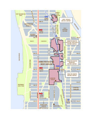
Hamilton Heights West Harlem Map
Hamilton Heights - West Harlem, New York City community map
281 miles away
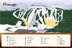
Swain Ski & Snowboard Resort Ski Trail Map
Trail map from Swain Ski & Snowboard Resort.
282 miles away
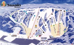
Swain Ski Trail Map
Official ski trail map of Swain Resort ski area from the 2007-2008 season.
282 miles away

Broadway Elevation Map
Illustrative section of Broadway, from 125th Street to 134th Street, looking east
282 miles away
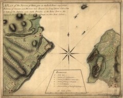
Oyster Bay and Huntington, Huntington Bay Map
A plan of the Narrows of Hells-gate in the East River, near which batteries of cannon and mortars...
283 miles away
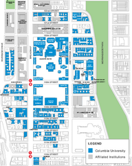
Columbia University Map
Campus map of Columbia University. All buildings shown.
283 miles away
Upper Riverside Park Map
Riverside Park Map, Visitor Information as well as streets, bus routes, places to jog and bike.
283 miles away
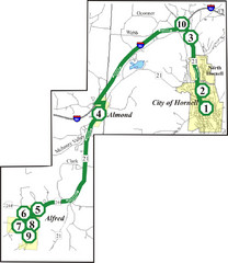
Alfred-Hornell Bus Route Map
283 miles away
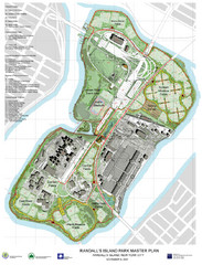
Randall's Island Park Map
Master plan for Randall's Island Park
284 miles away
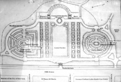
Central Park Conservatory Garden Map
Map of the Conservatory Garden in Central Park, New York City. Photo of outdoor map.
284 miles away


