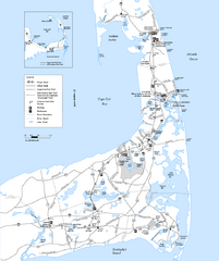
Cape Cod Rail Trail Map
Cape Cod Rail Trail map. The Cape Cod Rail Trail follows a former railroad right-of-way for 22...
258 miles away

Tanglwood Ski Area Ski Trail Map
Trail map from Tanglwood Ski Area, which provides downhill, night, and terrain park skiing. It has...
258 miles away
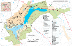
Lackawanna State Park Map
Detailed map of Lackawanna State Park in Pennsylvania.
259 miles away

Brighton-Township, Ontario Map
259 miles away
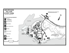
Sherwood Island State Park map
Trail and campground map of Sherwood Island State Park in Connecticut.
260 miles away

Hunt Hollow Ski Trail Map
Trail map from Hunt Hollow.
260 miles away
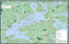
Kennisis Lakes Map
Panoramic topo map of Kennisis Lakes region
260 miles away
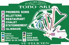
Toboski Ski Trail Map
Trail map from Toboski, which provides downhill and nordic skiing.
260 miles away
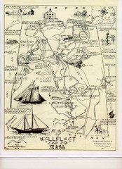
Wellfleet 1930s Tourist Map
A tourist map from the 1930s of Wellfeet, Massachusetts in Cape Cod. Courtesy of Cynthia Blakeley
261 miles away

Hidden Valley Ski Trail Map
Trail map from Hidden Valley.
262 miles away

Digital Elevation Model (DEM) of Conesus Lake Map
Digital Elevation Model (DEM) of Conesus Lake Map created in ARC Gis
262 miles away

Mountain Creek South Ski Trail Map
Trail map from Mountain Creek.
262 miles away
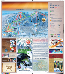
Mountain Creek North Ski Trail Map
Trail map from Mountain Creek.
262 miles away
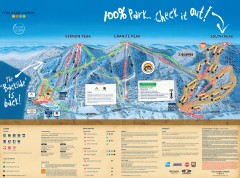
Mountain Creek Ski Trail Map
Official ski trail map of Mountain Creek ski area from the 2007-2008 season. (formerly Vernon...
263 miles away
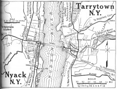
Antique map of Nyack and Tarrytown from 1917
Map of Nyack and Tarrytown, NY from Automobile Blue Book, 1917, Vol. 3
264 miles away
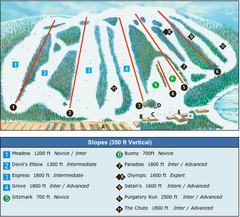
Devil’s Elbow Ski Trail Map
Trail map from Devil’s Elbow, which provides downhill skiing. This ski area has its own website.
264 miles away
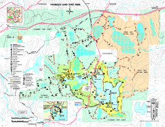
Promised Land State Park map
Detailed recreation map for Promised Land State Park in Pennsylvania
264 miles away
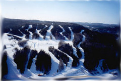
Mont Fortin Ski Trail Map
Trail map from Mont Fortin. This ski area has its own website.
265 miles away
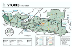
Stokes State Forest map
Trail map of Stokes State Park in New Jersey.
266 miles away
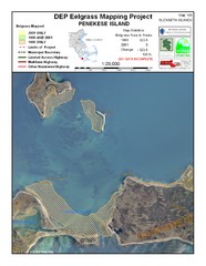
Penekese Island Eelgrass Map
266 miles away
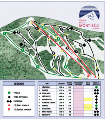
Mont-Bélu Ski Trail Map
Trail map from Mont-Bélu.
266 miles away

1978 Bradford County, Pennsylvania Map
266 miles away
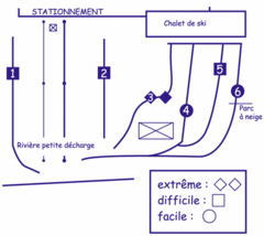
Mont Villa Saguenay Ski Trail Map
Trail map from Mont Villa Saguenay, which provides downhill skiing. This ski area has its own...
266 miles away
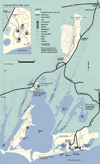
Waquoit Bay National Estuarine Research Preserve...
Trail map of Waquoit Bay National Estuarine Research Preserve in Massachusetts.
266 miles away
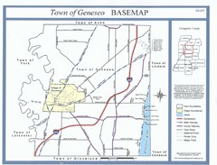
Geneseo Town Map
266 miles away

Oshawa Ski Club Ski Trail Map
Trail map from Oshawa Ski Club, which provides downhill skiing. This ski area has its own website.
267 miles away
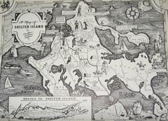
Shelter Island Map
Old Shelter Island map circa 1930s
267 miles away
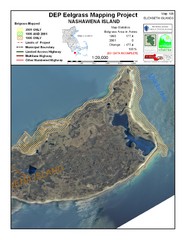
Nashawena Island Eelgrass Map
267 miles away
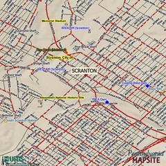
Scranton, Pennsylvania City Map
268 miles away
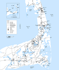
Cape Cod Rail Trail, Cape Cod, Massachusetts Map
Map of the Cape Cod Rail Trail bike path. Shows trails, restrooms, other roads and parking.
268 miles away
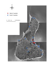
Native and Exotic Phragmites on Block Island Map
269 miles away
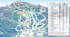
Mont Edouard Ski Trail Map
Trail map from Mont Edouard, which provides downhill skiing. This ski area has its own website.
269 miles away
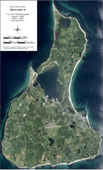
Block Island Aerial Map
Aerial map of Block Island, RI (New Shoreham, RI). True color orthophotography from August 2006.
269 miles away
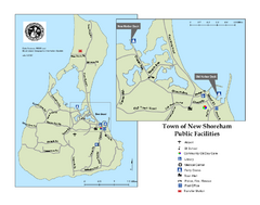
Block Island Road Map
Shows roads and major facilities on Block Island, RI (New Shoreham)
269 miles away

Cape Cod Hospital Map
Campus map of Cape Cod Hospital
270 miles away

Cape Cod Hospital Map
Map of external vicinity of Cape Cod Hospital
270 miles away
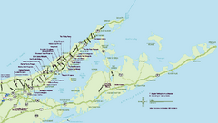
Long Island Wineries Map
Map of LIWC member wineries offering wine tastings to the public.
270 miles away

Bath-Hornell Bus Route Map
271 miles away
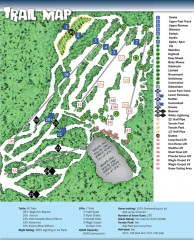
Sno Mountain Ski Trail Map
Official ski trail map of Sno Mountain ski area from the 2007-2008 season.
271 miles away
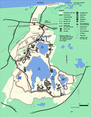
Nickerson State Park trail map
Trail map of Nickerson State Park in Massachusetts.
271 miles away

