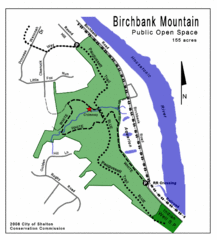
Birchbank Park Map
Several miles of moderately difficult trails along the Housatonic River bluff, including the...
249 miles away

Guilford Bus Services Map
249 miles away
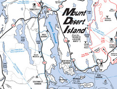
Mt. Desert Island Map
249 miles away
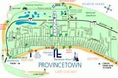
Provincetown, Massachusetts Map
Tourist map of Provincetown, Massachusetts. Shows beaches, visitor's center, bike trails, and...
250 miles away
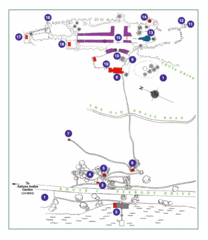
Thuya Garden Map
1. Parking 2. Asticou Terraces Landing 3. Joseph H. Curtis Memorial 4. Stone Lookout 5. Second...
250 miles away
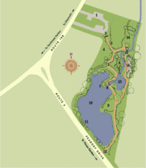
Asticou Azalea Garden Map
1. Parking Area 2. Main Gate 3. Moss Corridor 4. Service Area 5. Heath Garden 6. Sand Garden...
250 miles away
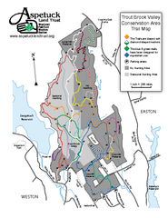
Trout Brook Valley Map
250 miles away
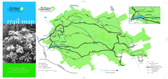
Devil's Den Preserve Map
250 miles away
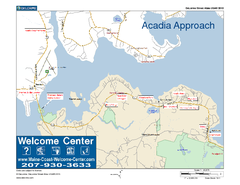
Acadia Approach Map
Maine Coast Welcome Center's local Map of the approach to Acadia, Me with recommended business...
250 miles away
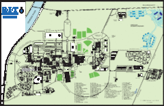
Rochester Institute of Technology Campus Map
Map of RIT campus.
251 miles away

Ski Big Bear Ski Trail Map
Trail map from Ski Big Bear.
251 miles away
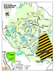
Blue Mountain Reservation Mountain Bike Trail Map
Mountain biking map of the Blue Mountain Reservation from the Westchester Mountain Biking...
251 miles away
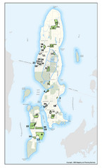
Conanicut Island Land Trust Map
Shows 430 acres of property on Conanicut Island, RI stewarded by the Conanicut Island Land Trust
251 miles away
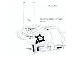
Fort Trumbull State Park map
Map of Fort Trumbull State Park in Connecticut.
251 miles away
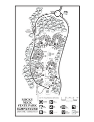
Rocky Neck State Park campground map
Campground map of Rocky Neck State Park in Connecticut.
252 miles away
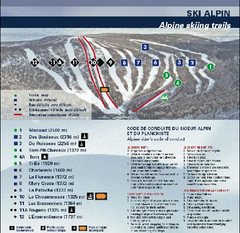
Mont Grand Fonds Ski Trail Map
Trail map from Mont Grand Fonds, which provides downhill and nordic skiing. This ski area has its...
252 miles away
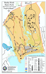
Rocky Neck State Park trail map
Trail map of Rocky Neck State Park in Connecticut.
252 miles away

Bristol Mountain Ski Resort Ski Trail Map
Trail map from Bristol Mountain Ski Resort.
252 miles away

Hammonasset Beach State Park map
Trail map for Hammonasset Beach State Park in Connecticut.
252 miles away

Hammonasset Beach State Park campground map
Campground map of Hammonasset State Park in Connecticut.
252 miles away
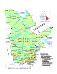
Quebec Political Map
Political map of province of Quebec, Canada. Show capitals, town, and major roads.
252 miles away
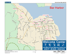
Bar Harbor, Maine, Us Map
Maine Coast Welcome Center's local Map of Bar Harbor, Me with recommended business locations.
253 miles away
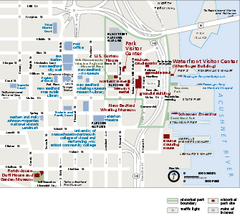
New Bedford Whaling National Historical Park...
Official NPS map of New Bedford Whaling National Historical Park in Massachusetts. Map shows all...
253 miles away
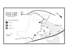
Haley Farm State Park map
Trail map of Haley Farm State Park in Connecticut.
253 miles away
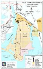
Bluff Point State Park map
Trail map for Bluff Point State Park and Coastal Reserve.
253 miles away
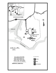
Harkness Memorial State Park map
Trail map of Harkness Memorial State Park in Connecticut.
253 miles away
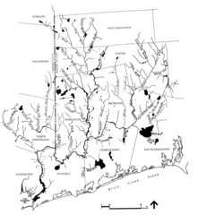
Rhode Island Coastal Watershed Map
Paddling Guide of Pawcatuck River Watershed
254 miles away
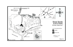
Silver Sands State Park map
Trail and campground map of Silver Sands State Park in Connecticut.
254 miles away
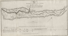
Wyoming and Lackawanna Valleys Map
Railbed from the coal mine at Carbondale to the canal on the Lackawaxen River. Historical map.
254 miles away
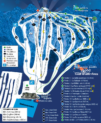
Mont Lac-Vert Ski Trail Map
Trail map from Mont Lac-Vert, which provides downhill skiing. This ski area has its own website.
254 miles away
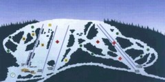
Sir Sam’s Ski Area Ski Trail Map
Trail map from Sir Sam’s Ski Area, which provides downhill skiing. This ski area has its own...
254 miles away
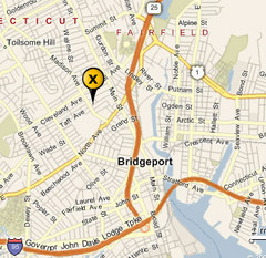
Bridgeport, Connecticut City Map
254 miles away
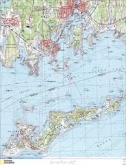
Fishers Island Map
In Long Island Sound
255 miles away
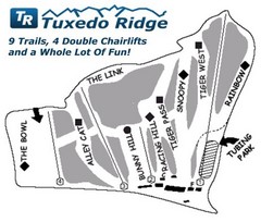
Tuxedo Ridge Ski Trail Map
Trail map from Tuxedo Ridge.
255 miles away
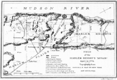
Harlem Hieghts Affair Map
Topography of the field during the battle on Sept 16 1776
255 miles away
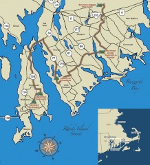
Southeastern New England Wine Trail Map
Map of the Southeastern New England Wine Trail, showing all vineyards and wineries that are members...
256 miles away
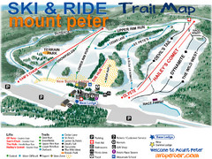
Mt. Peter Ski Area Ski Trail Map
Trail map from Mt. Peter Ski Area.
256 miles away
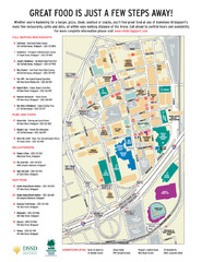
Arena at Harbor Yard Restaurants Map
List of many delicious restaurants and eateries.
256 miles away
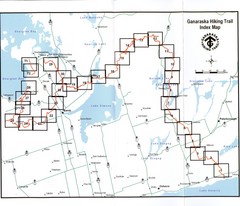
Ganaraska Hiking Trail Map
Map of the hiking trail at Ganaraska forest in Canada. Shows roads, surrounding lakes, towns and...
256 miles away
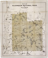
Algonquin National Park Map 1893
Map of Algonquin National Park of Ontario. "Prepared to accompany Report of Park...
256 miles away

