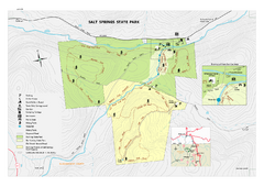
Salt Springs State Park map
Detailed recreation map of Salt Spring State Park in Pennsylvania.
242 miles away

St. John Fisher College Map
Campus map
242 miles away
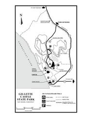
Gillette State Park trail map
Trail map of Gillette Castle State Park in Connecticut.
242 miles away
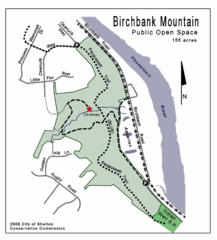
Birchbank Park Map
243 miles away
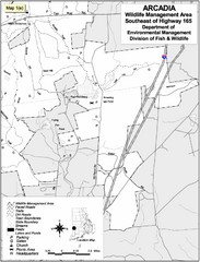
Arcadia Wildlife Management Area Map - Southeast
Reference map shows portion of Arcadia Wildlife Management Area, Rhode Island southeast of Highway...
243 miles away
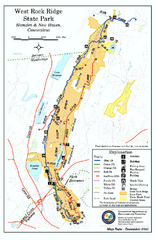
West Rock Ridge State Park map
Trail map of West Rock Ridge State Park in Connecticut.
243 miles away
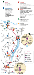
Canadaigua Wine Trail Map
Map of the Canadaigua Wine Map in Canadaigua, New York. Shows all wineries and vineyards in the...
244 miles away
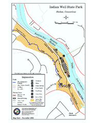
Indian Well State Park map
Trail map for Indian Well State Park in Connecticut.
244 miles away
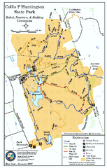
Collis P. Huntington State Park map
Trail map of Collis P. Huntington State Park in Connecticut
244 miles away
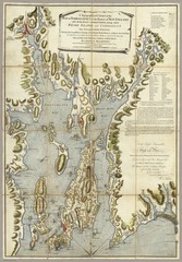
Narrangansett Bay Map 1777
"A Topographical CHART of the BAY of NARRAGANSET in the Province of NEW ENGLAND. with the...
244 miles away
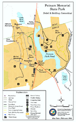
Putnam Memorial State Park map
Trail map for Putnal Memorial State Park in Connecticut,
244 miles away
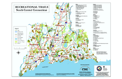
South Central Connecticut Recreational Trail Map
Map of South Central Connecticut showing all recreational trails and open spaces.
244 miles away
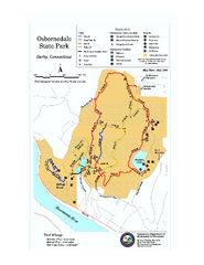
Osbornedale State Park map
Trail map of Osborndale State Park in Connecticut.
245 miles away
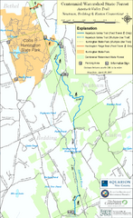
Centennial Watershed State Forest trail map
Trail map of Centennial Watershed State Forest in Connecticut
245 miles away
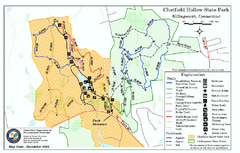
Chatfield Hollow State Park map
Trail map of Chatfield Hollow State Park
245 miles away

Downtown Rochester, New York Map
Tourist map of downtown Rochester, New York. Various areas of interest, parking, and streets are...
245 miles away
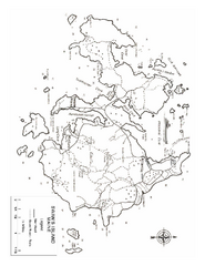
Swan's Island, ME Map
245 miles away
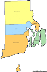
Rhode Island Counties Map
245 miles away
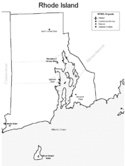
Rhode Island Airports Map
245 miles away
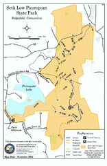
Seth Low Pierrepont State Park Reserve map
Trail map of Seth Low Pierreport State Park in Connecticut.
245 miles away

Rochester, New York City Map
246 miles away
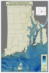
Rhode Island Shaded Bathymetry Map
Bathymetric map of Rhode Island with Narrangansett Bay and Rhode Island Sound. Graduated...
246 miles away
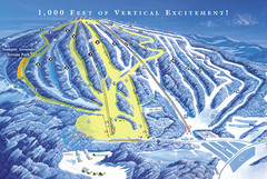
Elk Mountain Ski Trail Map
Trail map from Elk Mountain.
246 miles away
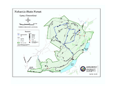
Nehantic State Forest map
Trail map of Nehantic State Forest in Connecticut.
246 miles away
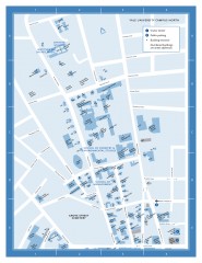
Yale University Campus North Map
Yale University Campus Map - North Campus, including School of Forestry & Environmental Studies...
246 miles away
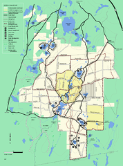
Myles Standish State Forest trail map
Summer trail map for Myles Standish State Forest.
247 miles away
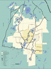
Myles Standish State Forest winter trail map
Winter activity map of all the trails and roads in Myles Standish State Park, MA. Cross country...
247 miles away
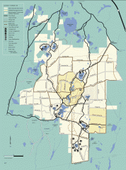
Myles Standish State Forest summer trail map
Map of all the trails and roads in Myles Standish State Park, MA. 15 miles of bicycle trails, 35...
247 miles away
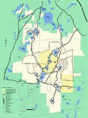
Myles Standish State Forest Winter trail map
Myles Standish State Forest winter use trail map.
247 miles away
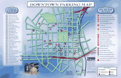
Downtown New Haven Parking Map
Shows locations of all town parking lots and also points of interest
247 miles away

Yale University Map
247 miles away
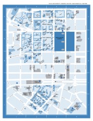
Yale University Campus South and Medical Center...
Yale University Campus South and Medical Center, including the Hewitt Quad, Cross Campus, Old Campus
247 miles away
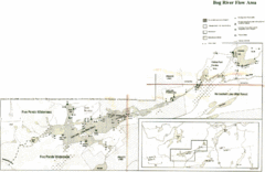
Bog River Map
248 miles away
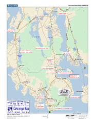
Southwest Harbor, Maine Map
Maine Coast Welcome Center's local Map of Southwest Harbor, Me with recommended business...
248 miles away
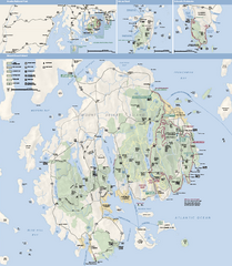
Acadia National Park Map
Official map of Acadia National Park, Maine. "Except for one mainland section, Acadia...
248 miles away
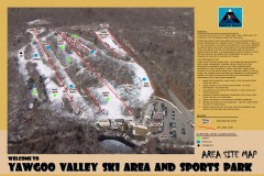
Yawgoo Valley Ski Trail map
Map of Yawgoo Valley Ski area in Exeter, Rhode Island. It is the only skiing resort in Rhode...
248 miles away
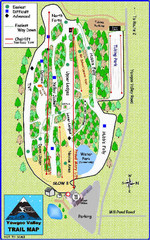
Yawgoo Valley Ski Area Ski Trail Map
Trail map from Yawgoo Valley Ski Area.
248 miles away
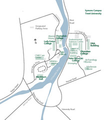
Trent University Campus Map
Campus map of the Symons Campus at Trent University in
248 miles away
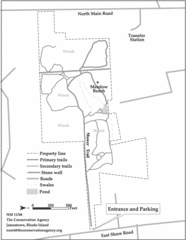
Parker Farm Trail Map
249 miles away
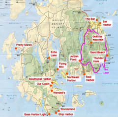
Mount Desert Island Tourist Map
Places of interest.
249 miles away

