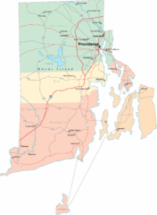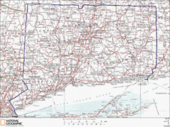
Connecticut State Parks Map
This is statewide map for Connecticut state parks. Go to the source website for detailed hiking...
232 miles away
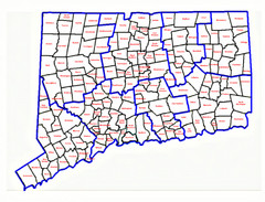
Connecticut Town Map
232 miles away
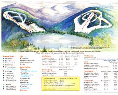
Mount Tone Ski Trail Map
Trail map from Mount Tone.
232 miles away
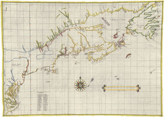
Velasco Map 1610
232 miles away
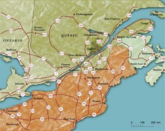
Southern Quebec Tourist Map
232 miles away
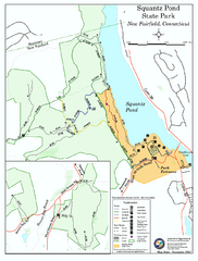
Squantz Pond State Park map
Trail and campground map for Squantz Pond State Park in Connecticut.
233 miles away
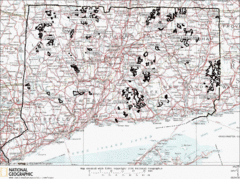
Connecticut State Forests Map
This is a map of all of the state forest boundaries in Connecticut. Follow the source web address...
233 miles away
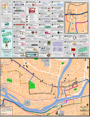
Binghampton Bus Route Map
233 miles away
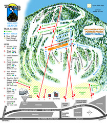
Thunder Ridge Ski Trail Map
Trail map from Thunder Ridge.
233 miles away
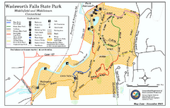
Wadsworth Falls State Park map
Trail map of Wadsworth Falls State Park in Connecticut.
233 miles away

Salmon River State Forest trail map
Trail map for Salmon River State Forest in Connecticut.
233 miles away
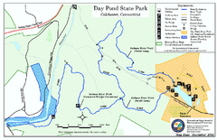
Daypond State Park map
Trail map for Day Pond State Park
233 miles away
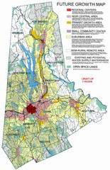
Danbury Regional Growth Map
Guide to future growth of Danbury, CT and surrounds
233 miles away
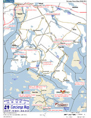
Blue Hill Peninsula, Maine, US Map
Maine Coast Welcome Center's local Map of the Blue Hill Peninsula, Me with recommended...
234 miles away
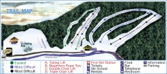
Holiday Mountain Ski Trail Map
Official ski trail map of Holiday Mountain ski area
234 miles away
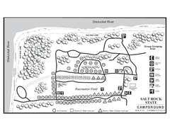
Salt Rock State Park campground map
Campground Map of Salt Rock State Campground in Connecticut.
234 miles away
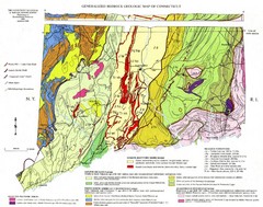
Connecticut Geologic Map
Geologic map of Connecticut bedrock. Shows shaded terranes, fault lines, and Mesozoic formations.
235 miles away
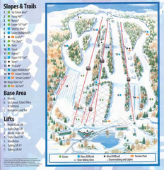
Powder Ridge Ski Area Ski Trail Map
Trail map from Powder Ridge Ski Area.
235 miles away
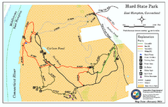
Hurd State Park trail map
Trail map for Hurd State Park in Connecticut.
235 miles away
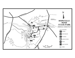
Hopeville Pond State Park trail map
Trail map for Hopevill Pond State Park in Connecticut
236 miles away
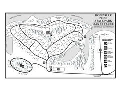
Hopeville Pond campground map
Campground map of Hopeville Pond State Park in Connecticut.
236 miles away
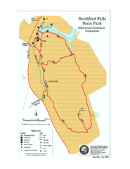
Southford Falls State Park map
Trail map for Southford Falls State Park in Connecticut.
236 miles away
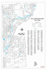
West Warwick Town Map
Street map of W. Warwick
237 miles away
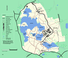
Massasoit State Park trail map
Trail map of Massasoit State Park in Massachusetts
238 miles away
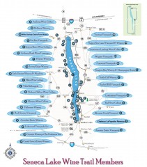
Seneca Lake Wine Trail Map
Winery tour map of Seneca Lake area in New York. Shows all vineyards that are members of the wine...
238 miles away
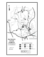
Pachaug State Forest map
Trail map of Pachaug State Forest in Connecticut.
238 miles away
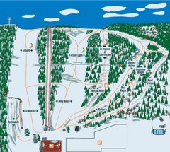
Station plein Air St-Pacome Ski Trail Map
Trail map from Station plein Air St-Pacome, which provides downhill skiing. This ski area has its...
238 miles away
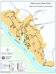
Kettletown State Park trail map
Trail map for Kettletown State Park in Connecticut.
239 miles away
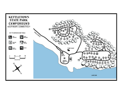
Kettletown State Park campground map
Campground map for Kettletown State Park in Connecticut.
239 miles away

Cockaponset State Forest North Section trail map
Trail map for the north section of Cockaponset State Forest in Connecticut
239 miles away
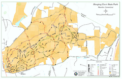
Sleeping Giant State Park map
Trail map for Sleeping Giant State Park in Connecticut.
239 miles away
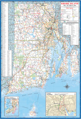
Rhode Island Road Map
Official Rhode Island state highway map. Insets show Newport and Providence.
240 miles away
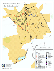
Devils Hophard State Park map
Trail and camprground map for Devils Hopyard State Park in Connecticut.
240 miles away
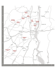
Shawangunk Wine Trail Map
Map of the Shawangunk Wine Trail on the Hudson River in New York. Shows all vineyards and wineries...
240 miles away
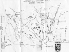
Arcadia Management Area State Map
Trail map for Arcadia Management Area in Rhode Island
240 miles away
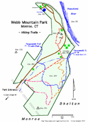
Webb Moutain Park Map
242 miles away

Cockaponset State Forest South Section trail map
Trail map for the South Section of Cockaponset State Forest in Connecticut.
242 miles away
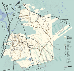
Freetown-Fall River State Forest trail map
Trail map of Freetown-Fall River State Forest in Massachusetts
242 miles away
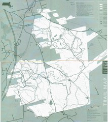
Freetown State Forest Map
Freetown State Forest Map showing mountain biking trails
242 miles away

