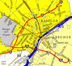
Bangor City Map
Airport, roads and interstates are on this map.
222 miles away
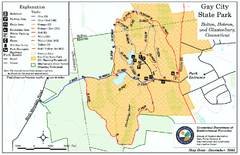
Gay City State Park trail map
Trail map of Gay City State Park in Connecticut.
222 miles away

Brantling Ski Slopes Ski Trail Map
Trail map from Brantling Ski Slopes.
222 miles away
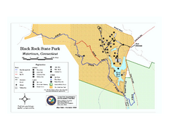
Black Rock State Park trail map
Trail map of Black Rock State Park in Connecticut.
223 miles away
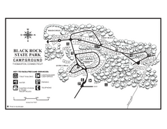
Black Rock Campground map
Map of the Campgrounds in Black Rock State Park.
223 miles away
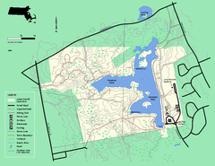
Ames Nowell State Park Map
Trail map of Ames Nowell State Park in Massachusetts
223 miles away
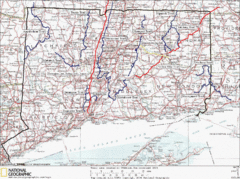
Connecticut Long Distance Trails Map
A map of long distance trails throughout Connecticut. Go to the website below for detailed trail...
223 miles away
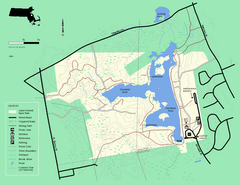
Ames Nowell State Park Map
Simple map of this beautiful state park. Visit and hike, bike, and shop!
223 miles away
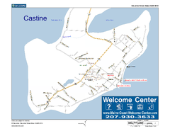
Castine, Maine, USA Map
Maine Coast Welcome Center's local Map of Castine, Me with recommended business locations.
224 miles away
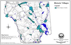
Historic Villages of Mansfield, Connecticut Map
Historical villages outlined on the map of the existing city.
224 miles away
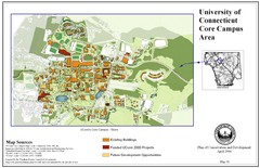
University of Connecticut Campus Map
Map shows current, funded projects and future development for UConn.
224 miles away
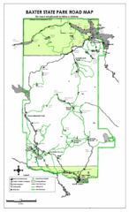
Baxter State Park Road Map
225 miles away
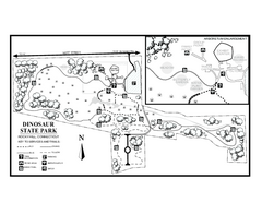
Dinosaur State Park map
Trail map of Dinosaur State Park in Connecticut.
225 miles away
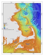
Massachusetts Bay sea floor Map
226 miles away
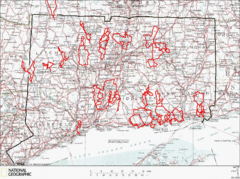
Connecticut Road Cycling Routes Map
A map of road cycling routes throughout Connecticut. Follow the link below for detailed route maps...
226 miles away
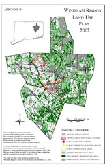
2002 Windham Region Land Use Map
Regional Land Use Guide Map for Planning Purposes
226 miles away
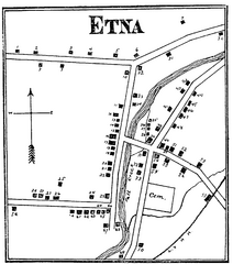
Etna 1897 City Map
Key to the Map of Etna (1897) 1. Mrs. C. Turner. 38. Blacksmith Shop. 2. J. T. Primrose. 39. Houtz...
226 miles away
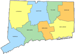
Connecticut Counties Map
226 miles away
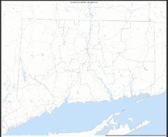
Connecticut Zip Code Map
Check out this Zip code map and every other state and county zip code map zipcodeguy.com.
226 miles away
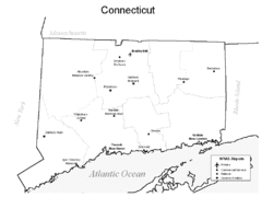
Conneticut Airports Map
226 miles away
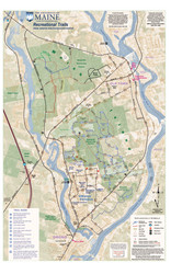
University of Maine Recreation Trails Map
Trails marked connecting two busy towns of Old Town and Orono.
226 miles away
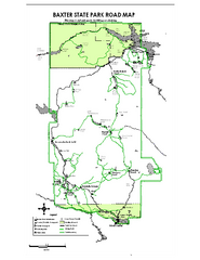
Baxter State Park overview map
Overview map of Baxter State Park. There are 46 mountain peaks and ridges, 18 of which exceed an...
227 miles away
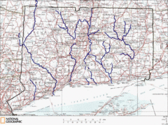
Connecticut Rivers and Coastal Paddling Map
This is a map of paddling areas for rivers and coastal kayaking. Follow the link below for...
227 miles away
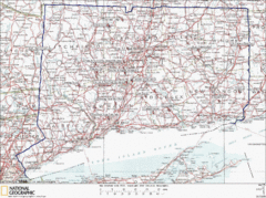
Connecticut Rock Climbing Locations Map
A map of most of the important rock climbing and bouldering areas in Connecticut. Click the link...
227 miles away
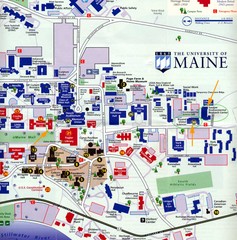
University of Maine Map
Campus map
227 miles away
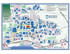
University of Maine Campus Map
227 miles away
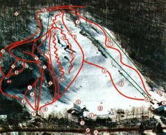
Woodbury Ski Area Ski Trail Map
Trail map from Woodbury Ski Area, which provides downhill, night, nordic, and terrain park skiing...
227 miles away
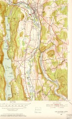
New Milford, Connecticut Map
New Milford, Connecticut topo map with roads, streets and buildings identified
227 miles away
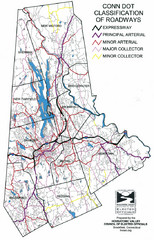
Connecticut Roadway Classification Map
227 miles away
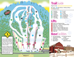
Mt. Southington Ski Area Ski Trail Map
Trail map from Mt. Southington Ski Area, which provides downhill, night, and terrain park skiing...
228 miles away
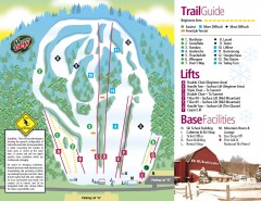
Mount Southington Ski Trail Map
Official ski trail map of Mount Southington ski area from the 2007-2008 season.
228 miles away
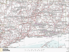
Connecticut Canoeing and Kayaking Lakes Map
A map of the lakes and ponds that are open for canoeing and kayaking in Connecticut. For detailed...
230 miles away
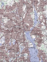
Providence Topo Map
Topo map of Providence, East Providence, Cranston, and Pawtucket, RI. Original scale 1:50,000
230 miles away
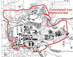
Map of Water contamination at Cornell University...
231 miles away
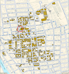
Providence, Rhode Island City Map
231 miles away
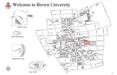
Brown University Map
231 miles away
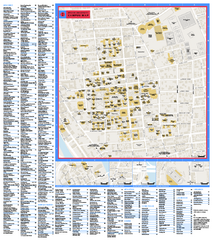
Brown University Campus Map
Official campus map of Brown University.
231 miles away
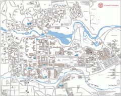
Cornell Campus Map
Map of Cornell University's Ithaca campus
231 miles away

Cornell University Map
231 miles away
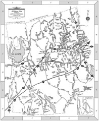
Middlebury, Connecticut Map
231 miles away

