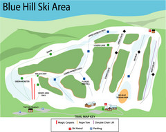
Blue Hills Ski Area Ski Trail Map
Trail map from Blue Hills Ski Area.
214 miles away
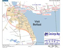
Belfast, Maine, USA Map
Maine Coast Welcome Center's local Map of Belfast, Me with recommended business locations. You...
214 miles away
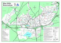
Blue Hills State Park Map
Clearly marked state park map of this beautiful state park.
214 miles away
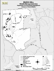
Buck Hill Wildlife Management Area Map
214 miles away
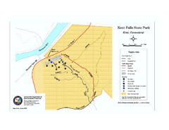
Kent Falls State Park trail map
Trail map of Kent Falls State Park in Connecticut.
214 miles away
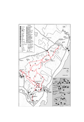
Camden Hills State Park map
Trail map for Camden Hills State Park in Vermont
214 miles away
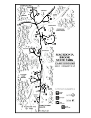
Macedonia Brook State Park campground map
Campground map for Macedonia Brook State Park in Connecticut.
215 miles away
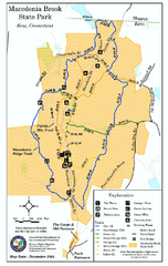
Macedonia Brook State Park trail map
Trail map of Macedonia Brook State Park in Connecticut.
215 miles away
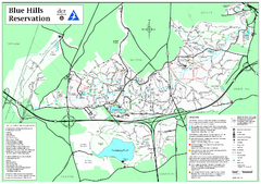
Blue Hills Reservation Trail Map
Trail map of the Blue Hills Reservation in Massachusetts
215 miles away
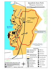
Quaddick State Park Trail Map
215 miles away
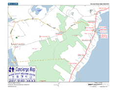
Lincolnville, Maine, USA Map
Maine Coast Welcome Center's local Map of Lincolnville, Me with recommended business locations.
215 miles away
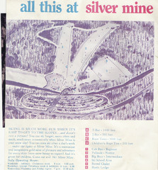
Silver Mine Credit to chris lundquist Ski Trail...
Trail map from Silver Mine, which provides downhill skiing.
216 miles away
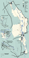
Blackstone Trail Map
Map of Blackstone River State Park in Massachusetts.
216 miles away
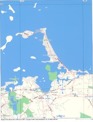
Hull Town Map
216 miles away

Topsmead State Forest map
Trail map for Topsmead State Forest in Connecticut.
217 miles away
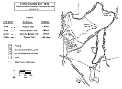
Pulaski State Park Map
217 miles away
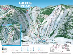
Greek Peak Ski Trail Map
Official ski trail map of Greek Peak ski area from the 2006-2007 season.
217 miles away

Greek Peak Ski Resort Ski Trail Map
Trail map from Greek Peak Ski Resort.
217 miles away
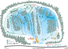
Madawaska Valley (Radcliffe Hills) Ski Trail Map
Trail map from Madawaska Valley (Radcliffe Hills), which provides downhill skiing.
217 miles away

Wadsworth Athenium Museum Location Map
Wadsworth Athenium visitor location map with locations of major buildings, streets, parks, and...
217 miles away

Batawa Ski Trail Map
Trail map from Batawa, which provides downhill skiing. This ski area has its own website.
218 miles away
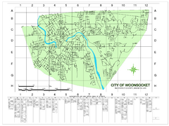
Woonsocket Street Map
Street map of Woonsocket, Rhode Island. Shows street legend.
218 miles away
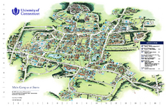
University of Connecticut - Storrs Campus Map
University of Connecticut - Storrs Campus Map. All areas shown.
218 miles away
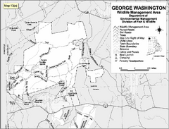
George Washington Wildlife Management Area Map
218 miles away
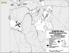
Durfee Hill Wildlife Management Area Map
218 miles away
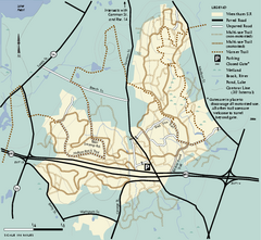
Wrentham State Forest trail map
Trail map of Wrentham State Forest in Massachusetts.
219 miles away
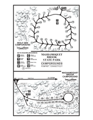
Mashamoquet Brook State Park campground map
Campground map of Mashamoquet Brook State Park in Connecticut.
219 miles away
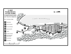
Lake Waramaug State Park campground map
Campground map of Lake Waramaug State Park.
219 miles away
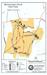
Mashamoquet Brook State Park trail map
Trail map of Mashamoquet Brook State Park in Connecticut.
219 miles away

Mansfield Cemetery Map
219 miles away
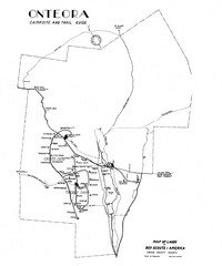
Onteora District Map
Boy Scouts Map of Onteora
220 miles away
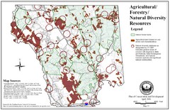
Mansfield Conservation and Development Map
Guide to Agricultural, Forestry and Natural Diversity Resources
220 miles away
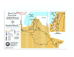
Mount Tom State Park trail map
Trail map of Mt. Tom State Park in Connecticut.
220 miles away
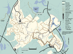
F. Gilbert Hills State Forest trail map
F. Gilbert Hills State Forest trail map in Massachusetts.
220 miles away
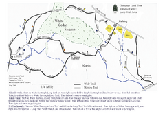
Sprague Farm - Glocester Land Trust Map
220 miles away
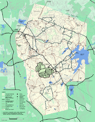
Wompatuck State Park trail map
Trail map of Wompatick State Park in Massachusetts.
221 miles away
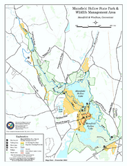
Mansfield Hollow State Park map
Map for Mansfield Hollow State Park and Wildlife Management Area in Connecticut.
221 miles away
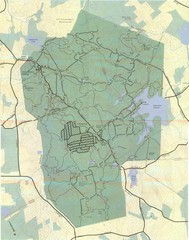
Wompatuck Park Trail Map
Map of Wompatuck Park including trails and roads and park features
222 miles away
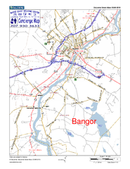
Bangor, Me, USA Map
Maine Coast Welcome Center's local Map of Bangor, Me with recommended business locations.
222 miles away
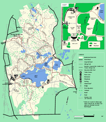
Borderland State Park trail map
Trail map of Borderland State Park in Massachusetts
222 miles away

