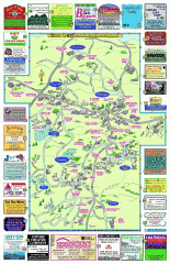
Columbia County - Boston Corners, Copake, Copake...
Tourist map of Columbia County, Mass. Includes towns of Boston Corners, Copake, Copake Falls...
189 miles away
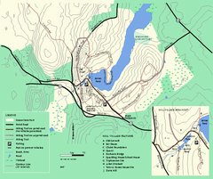
Moore State Park trail map
Trail map of Moore State Park in Massachusetts.
189 miles away
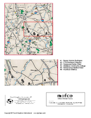
Greater Merrimack Valley, Massachusetts Map
Tourist map of greater Merrimack Valley, Massachusetts. Lodging, forests, and other points of...
189 miles away
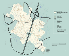
Georgetown-Rowley State Forest summer use map
Summer use map for Georgetown-Rowley State Forest.
190 miles away
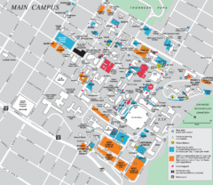
Syracuse University Campus Map
Map of the Syracuse University Campus. Includes buildings, parking, streets, and location of the...
190 miles away

Syracuse University Map
Syracuse University Campus Map. All buildings shown.
190 miles away
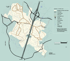
Georgetown-Rowley State Forest winter use map
Winter use map for the Georgetown-Rowley State Forest in Massachusetts.
190 miles away
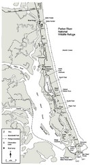
Parker River Map
Map of Parker River National Wildlife Refuge for birdlife
190 miles away
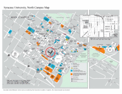
Syracuse University, North Campus Map
Campus map of Syracuse University, North Campus. Maxwell School of Executive Education is...
190 miles away
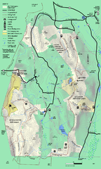
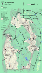
Mt. Washington State Forest trail map
Trail map of Mt. Washington State Forest
190 miles away
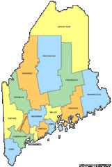
Maine Counties Map
190 miles away
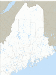
Maine Zip Code Map
Check out this Zip code map and every other state and county zip code map zipcodeguy.com.
190 miles away
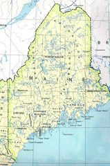
Maine Tourist Map
190 miles away
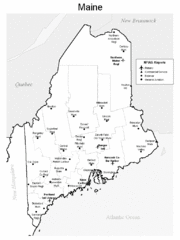
Maine Airports Map
190 miles away
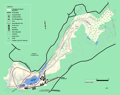
Chicopee State Park trail map
Chicopee State Park trail map
190 miles away
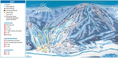
Hunter Mountain ski trail map
Official ski trail map of Hunter Mountain ski area from the 2006-2007 season.
190 miles away
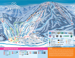
Hunter Mountain Ski Bowl Ski Trail Map
Trail map from Hunter Mountain Ski Bowl.
190 miles away
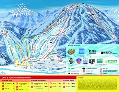
Hunter Mountain Trail Map
191 miles away
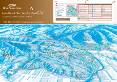
Mont-Sainte-Anne Nordic Ski Trail Map
Trail map from Mont-Sainte-Anne, which provides downhill and nordic skiing. This ski area has its...
191 miles away
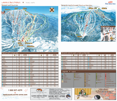
Mont-Sainte-Anne Ski Trail Map
Trail map from Mont-Sainte-Anne, which provides downhill and nordic skiing. This ski area has its...
191 miles away
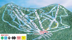
Plattekill Ski Trail Map
Official ski trail map of Plattekill ski area from the 2007-2008 season.
191 miles away
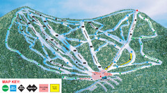
Ski Plattekill Ski Trail Map
Trail map from Ski Plattekill.
191 miles away
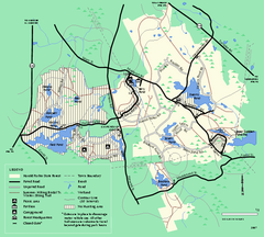
Harold Parker State Forest trail map
Trail map of Harold Parker State Forest in Massachusetts
191 miles away
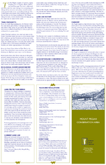
Mt. Pisgah Map - Northboro, Berlin, Boylston Mass
192 miles away
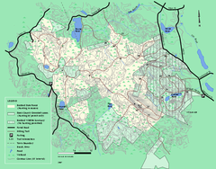
Boxford State Park trail map
Trail map of Boxford State Forest in Massachusetts
192 miles away
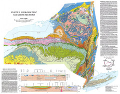
New York State Geologic Map
1:1,000,000 scale geological map of New York State
192 miles away
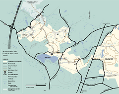
Willowdale State Forest map of Hood Pond
Trail map of the Hood Pond area of the Willowdale State Park in Massachusetts.
192 miles away
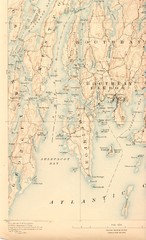
Boothbay Island Map
Topographical map of Boothbay Island and surrounding areas
192 miles away
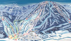
Hunter Mountain Trail Map
Ski trail map
192 miles away
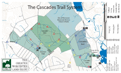
Cascades Park Map
192 miles away
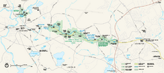
Minute Man National Historical Park Official Map
Official NPS map of Minute Man National Historical Park in Massachusetts. Map shows all areas. The...
192 miles away
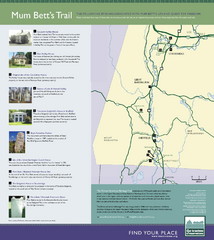
Mum Bett's Trail Map
Historic African American trail guide
193 miles away
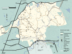
Willowdale State Forest map of Pine Swamp
Trail map of the Pine Swamp area of Willowdale State Park in Massachusetts.
194 miles away

Palmer Motorsports Park Map
Track Map for Proposed Palmer Motorsports Park
194 miles away
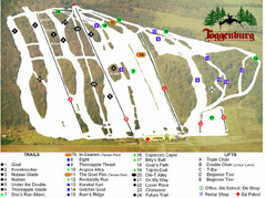
Toggenburg Ski Center Ski Trail Map
Trail map from Toggenburg Ski Center.
194 miles away
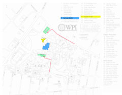
Worcester Polytechnic Institute Campus Map
Map of Worcester Polytechnic Institute. Includes all buildings, parking, streets, and location of...
194 miles away
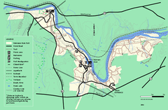
Robinson State Park trail map
Trail map of Robinson State Park in Massachusetts.
195 miles away
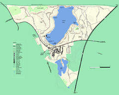
Walden Pond State Reservation trail map
Trail map of Walden Pond State Reservation
195 miles away
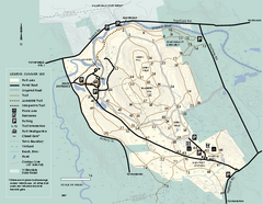
Bradley Palmer State Park summer map
Summer use map of Bradley Palmer State Park in Massachusetts
195 miles away

