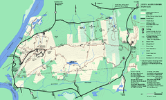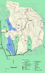
DAR State Forest winter map
Winter use map of the Daughters of the American Revolution State Forest.
170 miles away
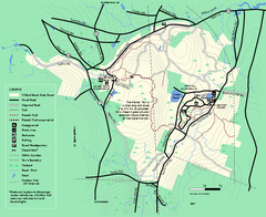
Willard Brook State Forest trail map
Trail map of Willard Brook State Forest in Massachusetts.
171 miles away
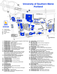
University of Southern Maine - Portland Map
171 miles away
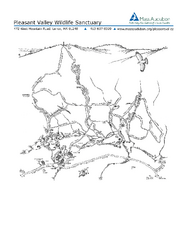
Pleasant Valley Wildlife Sanctuary Trail Map
Trail map of Pleasant Valley Wildlife Sanctuary
171 miles away
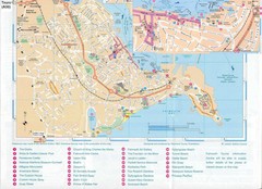
Falmouth Map
Map of Falmouth town and bay. Includes roads, parks, accommodations and attractions.
172 miles away
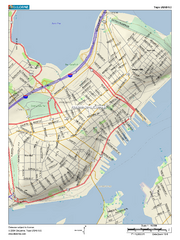
Portland, Maine City Map
172 miles away
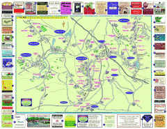
Columbia County - Austerlitz, Canaan, Chatham...
Tourist map of Columbia County including towns of Austerlitz, Canaan, Chatham, East Chatham Ghent...
172 miles away
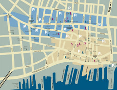
Portland, Maine Tourist Map
172 miles away
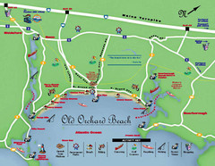
Old Orchard Beach Tourist Map
172 miles away
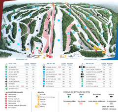
Le Relais Ski Trail Map
Trail map from Le Relais, which provides downhill skiing. This ski area has its own website.
172 miles away
Nashua Parks Map
Map of Nashua, New Hampshire parks
173 miles away
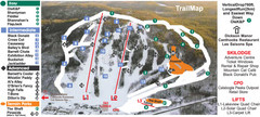
Calabogie Peaks Ski Trail Map
Trail map from Calabogie Peaks, which provides downhill skiing. This ski area has its own website.
173 miles away
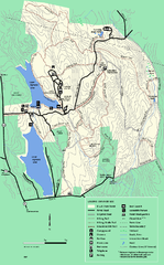
DAR State Forest summer map
Summer use map of the Daughters of the American Revolution state forest.
173 miles away
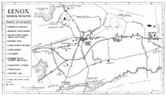
Lenox Town Map
Hand-drawn town map of Lenox, Mass. Bordered by Lenox Mountain and October Mountain. Shows points...
173 miles away
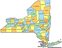
New York Counties Map
174 miles away
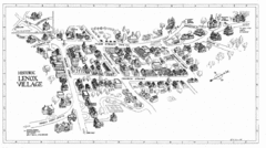
Lenox Village Map
Hand-drawn village map of historic center of Lenox, Massachusetts
174 miles away
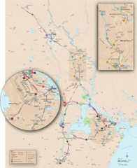
New Hampshire Transit Map
Guide to COAST and Wildcat Transit lines in New Hampshire
174 miles away
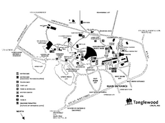
Tanglewood Map
Detailed map of the Tanglewood grounds that includes the location of the Box Office, Friends Office...
174 miles away
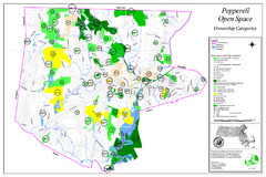
Pepperell Conservation Land and Open Spaces Map
Map showing conservation land and open spaces in Pepperell, MA.
175 miles away
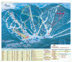
Stoneham Ski Resort Ski Trail Map
Trail map from Stoneham Ski Resort, which provides downhill skiing. This ski area has its own...
175 miles away
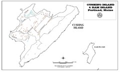
Cushing Island Map
Also shows Ram Island
175 miles away
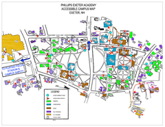
Phillips Exeter Academy Campus Map
Phillips Exeter Academy Campus Map
175 miles away
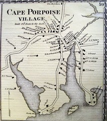
Cape Porpoise Village Map
176 miles away
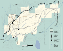
Windsor State Forest trail map
Trail map of Windsor State Forest in Massachusetts.
176 miles away
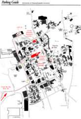
University of Massachusetts Amherst Parking Map
Map of the University of Massachusetts. Includes all buildings, streets, and parking information.
176 miles away
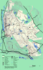
October Mountain State Forest trail map
Trail map of October Mountain State Forest in Massachusetts.
176 miles away
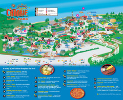
Canobie Lake Park Map
176 miles away
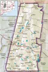
Berkshires Map
Overview map of the Berkshires region of Western Massachusetts
176 miles away
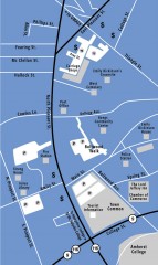
Downtown Amherst, Massachusetts Map
Tourist map of downtown Amherst, Massachusetts, showing attractions, government buildings, atms...
177 miles away
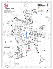
University of Massachusetts - Amherst Map
Campus Map of the University of Massachusetts - Amherst. All buildings shown.
177 miles away
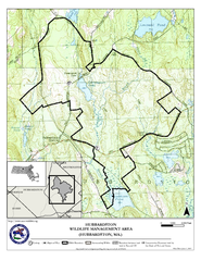
Hubbardston WMA Map
177 miles away
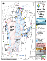
Quabbin Reservoir Fishing Map
Fishing access map of Quabbin Reservoir. Shows all ponds and submerged ponds.
178 miles away
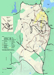
Wachusett Mountain State Reservation trail map
Trail map of Wachusett Mountain State Reservation in Massachusetts.
178 miles away
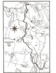
Monoosnoc Trail Map
178 miles away
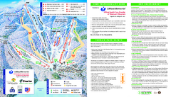
Wachusett Mountain Ski Trail Map
Trail map from Wachusett Mountain.
179 miles away
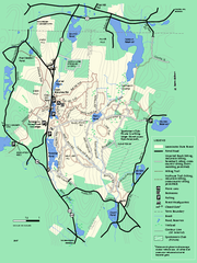
Leominster State Forest trail map
Trail map of Leominster State Forest in Massachusetts
179 miles away
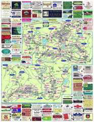
South County Berkshires map
Tourist map of Great Barrington, Housatonic, Sheffield, S. Egremont, N. Egremont Lenox, Stockbridge...
179 miles away
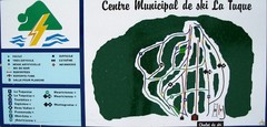
Ski La Tuque Ski Trail Map
Trail map from Ski La Tuque.
179 miles away

