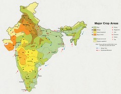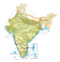
India Map
594 miles away
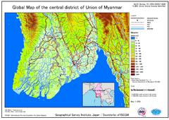
Elevation Map Central Distrisct of Union of...
The map shows topography of the Ayeyarwady (Irrawady) Delta and the Sittoung (Sittang) Delta, that...
603 miles away
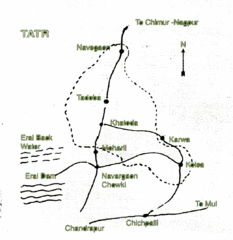
Tadoba National Park Map
Hand drawn map of Tadoba National Park, Chandrapur, India which is part of Tadoba -Andhari Tiger...
609 miles away
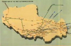
Tibet Railway Map
614 miles away
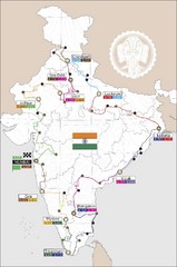
India Transportation Map
620 miles away

India Tourist Map
620 miles away

India Map
620 miles away

India Tourist Map
Map of India showing cities, roads, state boundaries and heritage sites.
620 miles away

India Tourist map
Map of India showing tourist centers, places of interest, cities and roads.
620 miles away
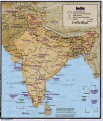
India Map
Tourist Destinations highlighted on India map. Map contains cities, major roads, railways and...
620 miles away

India Map
Map of India showing major cities and roads.
620 miles away

India Tourist Map
Simple map of India showing tourist sites with a star, cities, borders and airports.
620 miles away
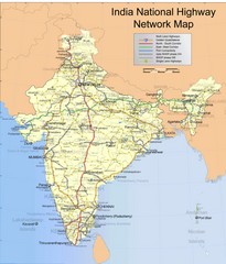
India Roadway Map
India National Highway Network Map
620 miles away
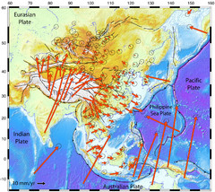
Horizontal Surface Motions map
This map illustrates the horizontal surface motions of sites in Asia. Eric Calais, a Purdue...
620 miles away
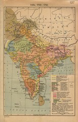
18th century India Map
620 miles away
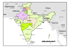
Political Map of India, Fully Editable in...
Political Map of India with boundaries of few Western and Northern states. Major cities have been...
620 miles away
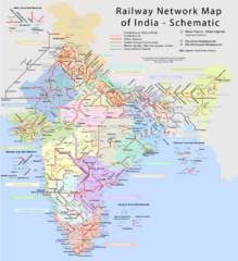
India Railway Network Schematic Map
Schematic rail map of India showing trunk and other routes.
620 miles away
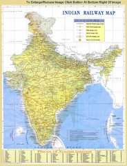
India Railway and Tourist Map
Railway and tourist map of India.
620 miles away
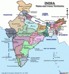
India states and union territories Map
India states and union territories
620 miles away
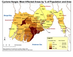
Cyclone Nargis Affected Area Map
Cyclone Nargis Vulnerability Estimates by Township
626 miles away
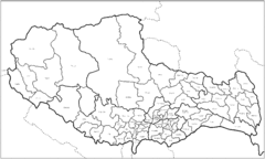
Tibet County Outline Map
Outline map of Tibet counties.
630 miles away

Tibet Relief Map
A Relief Map of Tibet with pictures of tourist sites, roads, cities and other places of interest...
631 miles away
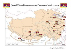
Tibet Protests Map
Shows site of Tibetan demonstrations and protests as of March 17, 2008
635 miles away

Tibet Manuscript Map
Tourist manuscript map of Tibet. Shows Tibet Autonomous Region.
635 miles away
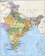
India Map
Map of India with details on cities, towns, and villages
638 miles away
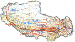
Tibet Tourist Map
Tourist map of Tibet showing interesting sights, cities and topography in English.
643 miles away
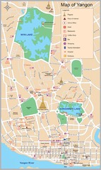
Yangon Map
644 miles away
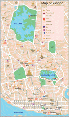
Yangon Myanmar or Rangoon Burma city map
City map of downtown Yangon, Myanmar aka Rangoon, Burma. Shows points of interest and major pagodas.
645 miles away
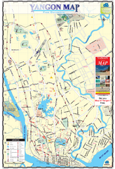
Yangon Tourist Map
Tourist map of Yangon, Myanmar. Also known as Rangoon. Shows pagodas and other points of interest.
645 miles away
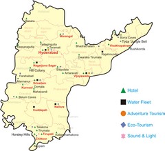
Andhra Pradesh Tourist Map
A Tourism Map of Andhra Pradesh,India with major tourist attractions and the facilities available...
660 miles away
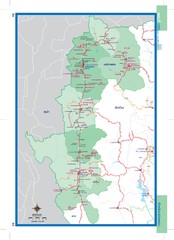
Maehongson, Thailand Map
660 miles away

Pai Map
670 miles away
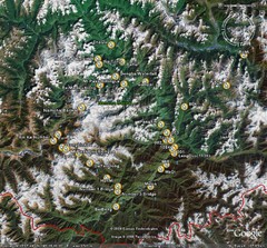
Metok Satellite Map
674 miles away
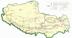
Tibet Map
Map of Tibet showing roads, towns, rivers, railways and mountains.
676 miles away
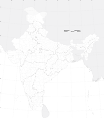
India Outline Map
Map of India showing regions and outline only, no roads or cities
681 miles away
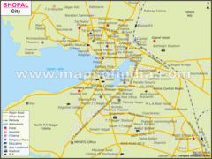
Bhopal City Map
Roads, towns and points of interest are marked on this clear map and legend.
698 miles away
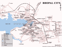
Bhopal Tourist Map
699 miles away
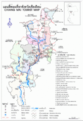
Chiang Mai Region Map
Map of Chiang Mai region in Thailand with tourist information
705 miles away
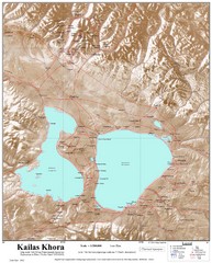
Kailash (Feng) Mountain Map
Kailash is locally more known as Kangrinboqe (Feng). It is the highest mountain in the western part...
712 miles away

