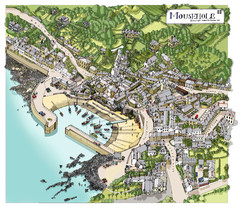
Mousehole map
Map of Mousehole. Aerial map of Mousehole, Cornwall.
160 miles away
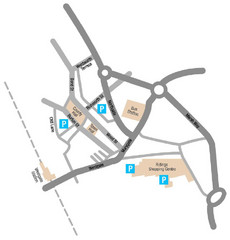
Wakefield Center Street Map
Crude street map of center of Wakefield, UK.
161 miles away
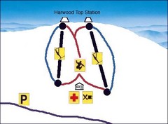
Harwood Sketch Ski Trail Map
Trail map from Harwood.
162 miles away
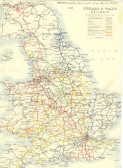
1887 - Prinicipal Railways in England and Wales...
Railways in England and Wales in 1887
162 miles away
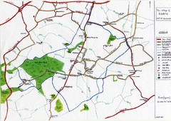
Hoath Town Map
Handwritten map of town of Hoath, England near Canterbury.
162 miles away
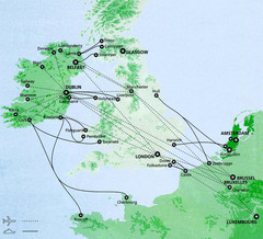
Ireland to Luxembourg Travel Map
Major routes from Ireland to Luxembourg. Shows major cities in Ireland, England, Germany and the...
164 miles away
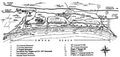
Omaha Beach Map
164 miles away
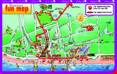
Blackpool Bus Tour Map
Blackpool Bus Tour Map - City Sightseeing
164 miles away

Blackpool Street Map
Street map of city of Blackpool, UK.
164 miles away
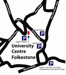
University Centre at Folkestone Map
165 miles away
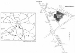
University of Leeds Campus Map
Various buildings on the University of Leeds campus
167 miles away

Port-en-Bessin Huppain Map
167 miles away
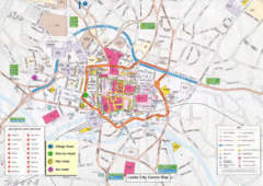
Leeds Tourist Map
Tourist map of city center of Leeds, UK
168 miles away
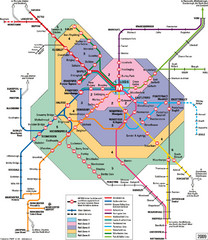
Leeds Metro Train Diagram Map
Metro system map for Leeds, England and surrounding cities.
168 miles away
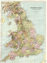
England and Wales Map
Guide to England, Wales and part of Scotland, showing counties
169 miles away
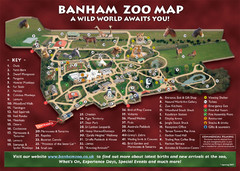
Banham Zoo Map
169 miles away

Normandy D-day Beaches Map
169 miles away

Thanet Isle Map
1809 Guide to Thanet Isle in Britain
170 miles away
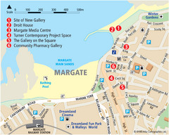
Margate Tourist Map
Tourist map of Margate, England.
171 miles away
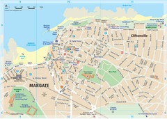
Margate TouristMap Map
171 miles away
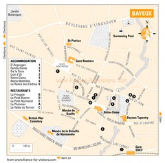
Bayeux Tourist Map
Tourist map of Bayeux, France shows accommodations and restauraunts
172 miles away

Bayeux Map
172 miles away
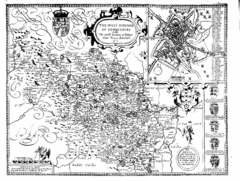
1610 Yorkshire County Historical Map
A 1610 map of Yorkshire Country in the United Kingdom
173 miles away
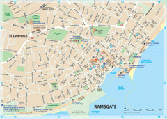
Ramsgate Tourist Map
Near Kent, England
173 miles away

Broadstairs Tourist Map
174 miles away
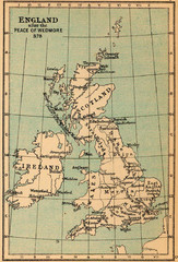
878 England Map
Guide to England after the Peace of Wedmore
175 miles away
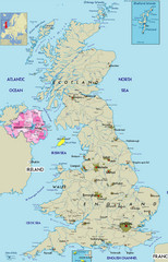
Northern Ireland Political Map
Guide to Northern Ireland and major cities in the United Kingdom
178 miles away
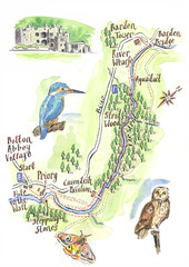
A walk around Bolton Abbey Yorkshire Map
A walk around Bolton Abbey in Yorkshire, Uk. Produced for Dales Life Magazine.
178 miles away
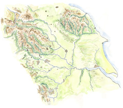
Yorkshire topography Map
179 miles away
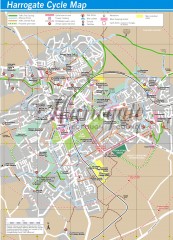
Harrogate Cycling Map
Shows traffic free cycling routes, advisory routes, traffic calmed roads, cycle lanes, bike shops...
181 miles away
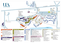
U. of East Anglia Map
182 miles away
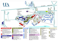
University of East Anglia Map
182 miles away
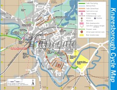
Knaresborough Cycling Map
Shows traffic free cycling routes, advisory routes, traffic calmed roads, cycle lanes, bike shops...
183 miles away

Cawston, Norfolk Guide Map
184 miles away
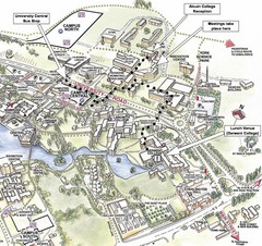
University of York Campus Map
Relevant landmarks and main roads and buildings
184 miles away
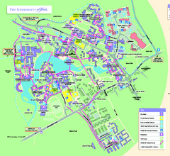
University of York Map - Heslington Campus
Campus map of the University of York Heslington Campus near York, England.
184 miles away
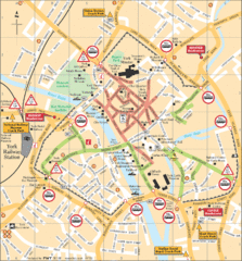
York Tourist Map
184 miles away
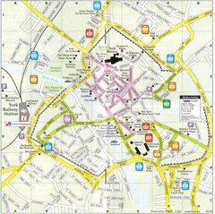
York England Tourist Map
Tourist map of York England showing roads, tourist sites ad railways.
184 miles away
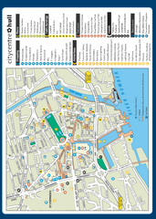
Hull City Centre Map
Tourist map of city of Hull. Shows points of interest including shopping, attractions, places...
184 miles away

