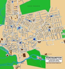
Northampton Town Map
Street map of Northampton from the late Victorian period
91 miles away
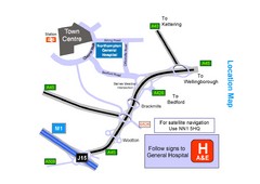
Central Northampton, England Tourist Map
Central Northampton in England
91 miles away
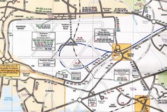
Heathrow Airport Transportation Map
92 miles away
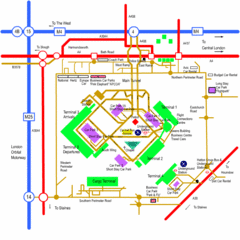
Heathrow Airport Map
92 miles away
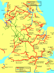
UK Broad Beam Canal Map
Guide to UK waterways that accommodate a barge
93 miles away
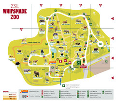
Whipsnade Zoo Map
94 miles away
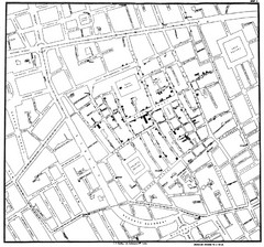
Cholera Outbreak of London Map
Map used to analyze the cholera outbreak in London, specifically South Hampton in 1853
96 miles away
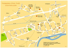
Twickenham Pub Guide Map
Map of TW1 & TW2 area
98 miles away

University College Plymouth Map
University College Plymouth St Mark & St John Derriford Road, Plymouth, Devon PL6 8BH
98 miles away
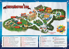
Chessington Zoo Map
99 miles away
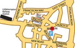
Museums in West Sussex, England Map
99 miles away
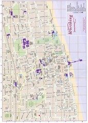
West Sussex, England Map
99 miles away
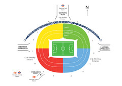
UK Wembley Stadium Map
100 miles away
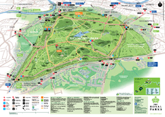
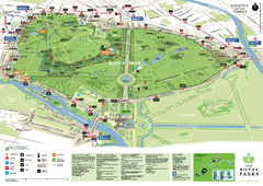
Richmond Park Map
100 miles away
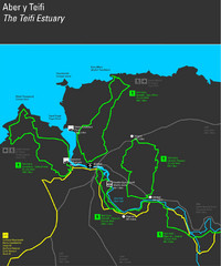
Cardigan Walks Map
Trail map of 6 circular walks in the Cardigan area ranging between four and a half and six and a...
100 miles away
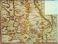
Plymouth Map 1500s
Map of Plymouth, England area in late 1500s
100 miles away

River Thames Map
River Thames Map, illustrated by Katherine Baxter for the Runnymede-on-Thames Hotel as a 8 metre...
101 miles away
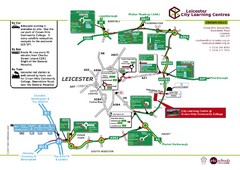
Leicester City Learning Centres Map
103 miles away
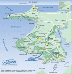
Mount Edcumbe Tourist Map
103 miles away
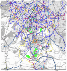
Cheam Bus Route Map
Olympic Bid 2016 - Bus Route Map
103 miles away
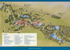
Weston Park Estate Map
103 miles away
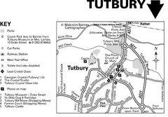
Tutbury Town Centre Map
104 miles away
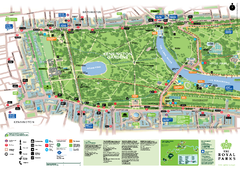
Kensington Gardens Map
104 miles away
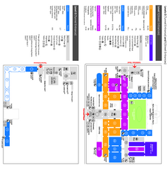
The Victoria & Albert Museum Floor plan Map
Map of The Victoria & Albert Museum in London. Shows entrances and exhibits.
104 miles away
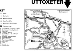
Uttoxeter Town Centre Map
104 miles away
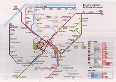
St. Georges Hospital Bus Services Map
104 miles away
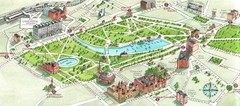
London Hyde Park map
Map of London, showing Hyde park.
105 miles away
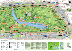
Hyde Park Map
105 miles away
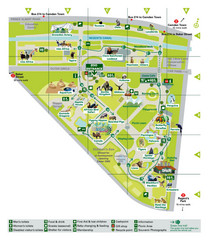
London Zoo Map
105 miles away
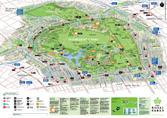
Regent's Park Map
Birds-eye view of the Regent's Park in London
105 miles away
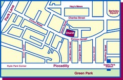
Third Church of Christ, Scientist, Location Map
106 miles away
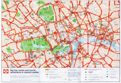
London Bus and Tourist Map
Key bus routes and tourist attractions in central London. Scanned.
106 miles away
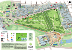
Green Park Map
106 miles away
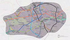
London Underground Zone 1 with Street Map
The London Underground Zone 1 geographically overlaid on city streets.
106 miles away
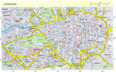
London City Map
City map of London with information and parking locations
106 miles away
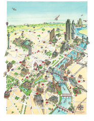
Aerial map of London
Map of London by Katherine Baxter
106 miles away
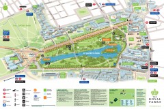
St. James Park Map
Official birds-eye view map of St. James Park, London.
106 miles away
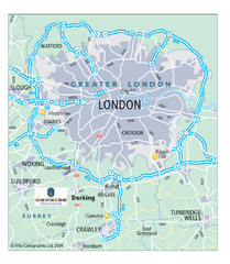
London Map
Map of London highways, roads and surrounding towns.
106 miles away
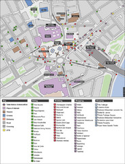
Trafalgar Square Map
106 miles away

