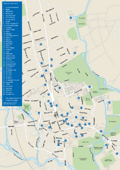
University of Oxford Campus Map
campus map
61 miles away
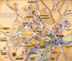
Stratford-upon-Avon Tourist Map
Tourist map of Stratford-upon-Avon, UK. Shows points of interest.
63 miles away
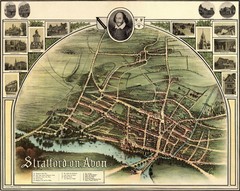
1902 Stratford-upon-Avon Map
Map of William Shakespeare's birthplace
64 miles away
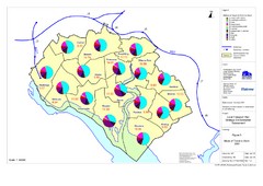
Methods of Travel in Southampton, UK Map
The methods of travel used by workers in Southampton
64 miles away
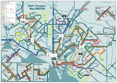
Southampton Public Transport Map
Public transport map of Southampton, England
64 miles away
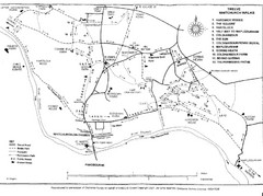
Whitchurch on Thames Walking Map
Guide to 12 walks around Whitchurch on Thames, UK
65 miles away
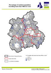
West Midlands Travel Time Statistics Map
Percentage of residents who travel to work in West Midlands, England
65 miles away
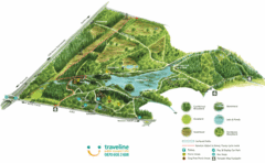
Stover Country Park Map
65 miles away
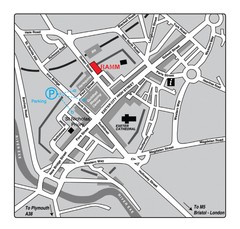
Royal Albert Memorial Museum Location Map
65 miles away
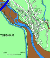
Topsham Street Map
65 miles away
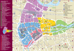
Reading Tourist Map
Tourist map of city center of Reading, England. Shows attractions and other tourist points of...
70 miles away

Main Historic Sites in Wales Map
Welsh Historic Monuments map (CADW) showing roads, cities and the main castles and abbeys in Wales.
71 miles away
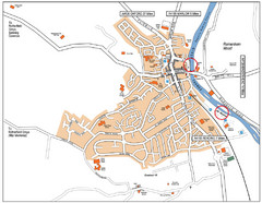
Henley-on-thames Map
Visitor Map of Henley-on-thames. Map shows location of most main roads, buildings, and parking.
73 miles away
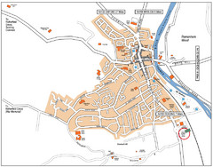
Henley-on-Thames Map
73 miles away
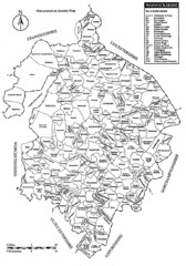
Warwichshire, England Region Map
74 miles away
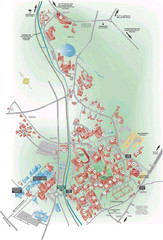
University of Birmingham Map
Guide to Birmingham University and surrounds
75 miles away
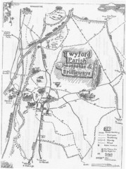
Twyford Parish Map
Footpaths and bridleways map of Twyford Parish
75 miles away
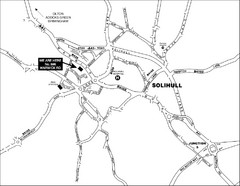
Solihull Town Map
75 miles away
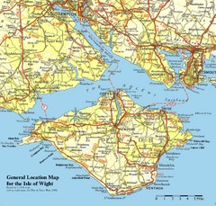
Isle of Wight Map
Based on 1950's map with no motorways
75 miles away
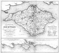
Isle of Wight Map
77 miles away
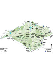
Isle of Wight Map
77 miles away
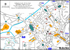
Central Birmingham Map
77 miles away

Birmingham City Map
Street map of Birmingham, England. Shows buildings, hospitals, parking, and schools.
77 miles away
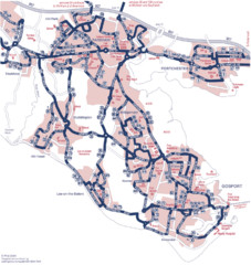
Fareham Busmap Map
Bus map of Portchester, Gosport and Fareham routes.
77 miles away
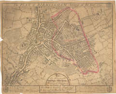
1731 Birmingham Map
Guide to historic Birmingham, UK
77 miles away
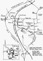
Petersfield, London Map
78 miles away
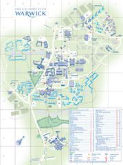
University of Warwick Campus Map
Near Coventry, West Midlands
79 miles away
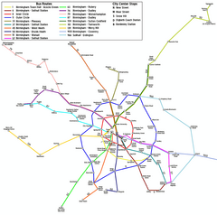
Birmingham Transit Map
Guide to bus lines in Birmingham, UK
79 miles away
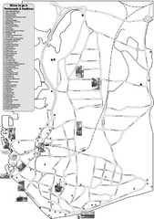
Portsmouth and Southsea Tourist Map
Tourist map of "where to go" in Portsmouth and Southsea, England. Includes photos of...
80 miles away
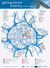
Coventry Tourist Map
Tourist map of central Coventry, England. Shows points of interest.
80 miles away
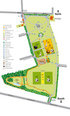
Palfrey Park Map
Detail map of Palfrey Park
81 miles away
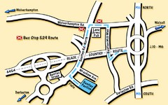
Bentley Map
Location map for Bentley. Includes roads, bus stops, and directions to Bentley Pavilion.
82 miles away
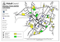
Downtown Walsall Parking Map
82 miles away
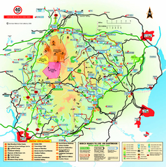
Dartmoor National Park Map
Official visitor map of Dartmoor National Park, England. Shows elevation and visitor attactions.
84 miles away
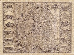
Old Maps - Wales Map
Includes illustrations of individual Welsh county towns.
87 miles away
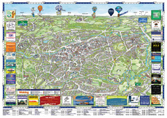
Woking Tourist Map
Tourist map of Woking, Surrey, England. Oblique/3D town map with ads.
88 miles away

South Hams England Map
Map of South Hams, England showing cities,parks, major roads and railways.
89 miles away
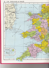
Wales Political Map
Map of Wales and southwest England
90 miles away
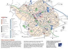
Milton Keynes Region Tourist Map
Tourist map of region around Milton Keynes, UK. Shows railway stations, out of town shopping, and...
90 miles away
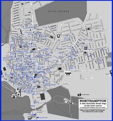
Northampton Town Map
Map of Northampton from the late Victorian period with public houses, inns, hotels, and pubs all...
90 miles away

