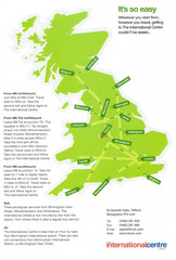
United Kingdom Map
210 miles away
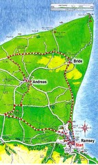
Ramsey, Isle of Man City Map
212 miles away
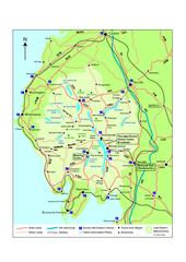
Lake District National Park Map
Detailed map marking the roads and boundaries of on of Britain's National Parks.
212 miles away
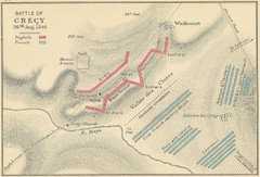
Battle of Crecy Map
Battlefield map of Crecy, France, August 28th 1346 during the Hundred Years War.
213 miles away
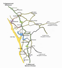
Whitehaven Wanderer Bus Route Map
214 miles away
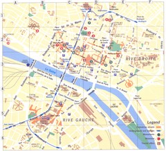
Rouen Map
214 miles away
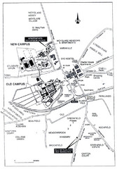
Maynooth Housing and Accommodation Map
Shows housing estates and accommodations in Maynooth, Ireland, home of the National University of...
215 miles away
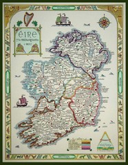
Hand-Drawn Ireland Map
Guide to Ireland and Northern Ireland, in Gaelic
215 miles away
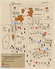
Castle Rigg Park Map
218 miles away
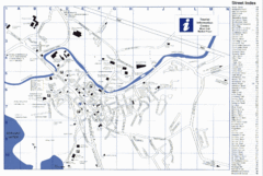
Keswick Tourist Map
Tourist map of Keswick, England. Shows all points of interest and has a street index.
219 miles away
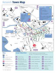
Keswick Town Map
Map of Keswick with Christian locations identified
219 miles away
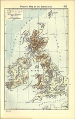
1911 British Isles Physical Map
Guide to physical features of the United Kingdom, then known as the British Isles
220 miles away
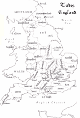
Tudor England Counties Map
Guide to the counties of England under Tudor reign
221 miles away
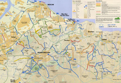
Redcar & Cleveland Horse Riding Routes Map
Horseriding route map of Redcar & Cleveland area, England shows public bridleways, public...
224 miles away
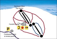
Swinhope Moor Sketch Ski Trail Map
Trail map from Swinhope Moor.
225 miles away
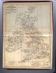
1910 Great Britain Map
226 miles away
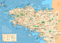
Brittany Tourist Map
Tourist map of province of Brittany in France. Shows ports, cathedrals, churches, chateaus, forts...
226 miles away

Brittany region Map
231 miles away
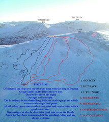
Raise Ski Trail Map
Trail map from Raise.
232 miles away
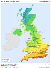
Solar radiation map of United Kingdom
Solar radiation map of UK, Global horizontal irradiation, Solar map UK
234 miles away
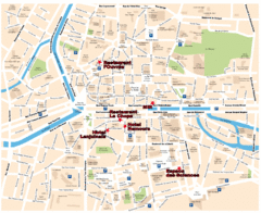
Rennes Street Map
Street map of the city center of Rennes, France. Shows building names and parking. Some points of...
235 miles away
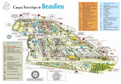
Campus Scientifique de Beaulieu Map
University of Rennes Science campus map.
235 miles away
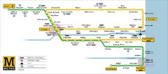
Tyne and Wear Metro Route Map
Map of metro transit routes throughout Tyne and Wear
240 miles away
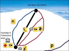
Yad Moss Sketch Ski Trail Map
Trail map from Yad Moss.
242 miles away
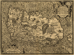
Ortelius’ Map of Ireland (1598)
Abraham Ortelius' map of Ireland in 1598.
245 miles away
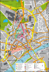
Newcastle Upon Tyne City Map
City map of Newcastle Upon Tyne with tourist information and some of Gateshead
246 miles away
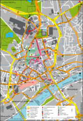
Newcastle City Map
City center map of Newcastle Upon Tyne, UK
247 miles away
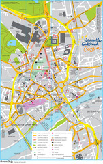
Newcastle Tourist Map
Tourist map of central Newcastle Upon Tyne, UK. Shows points of interest.
247 miles away
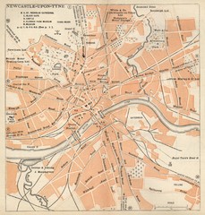
Newcastle upon Tyne Map
1920 Michelin Map to Newcastle upon Tyne, UK
247 miles away
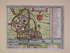
1611 Newcastle-Upon-Tyne Historic Map
Guide to historic Newcastle upon Tyne
247 miles away
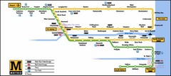
Newcastle Metro System Map
247 miles away
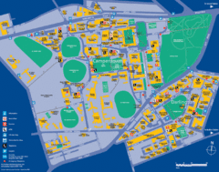
Camperdown Tourist Map
Guide map for Camperdown and Darlington, United Kingdom
247 miles away

England Tourist Map
Cities and countries in England
248 miles away

Carrigaline Town Map
250 miles away
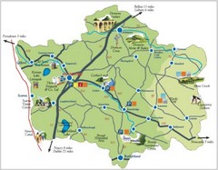
Banbridge District Tourism Map
Shows the locations of the main visitor attractions in the Banbridge District of Northern Ireland...
252 miles away
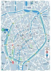
Brugge Tourist Map
Tourist map of Brugges, Belgium. Shows buildings and streets.
252 miles away
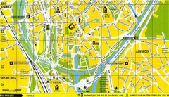
South Bruges Map
Map of the southern part of Bruges city
252 miles away
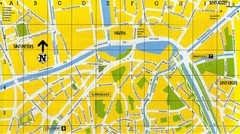
North Bruges Map
Map of northern part of Bruges city
252 miles away
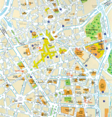
Lille Center Map
Street map of Lille city center
252 miles away

