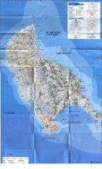
Zakynthos Island Map
Detailed map of Zakynthos Island. Scanned
345 miles away
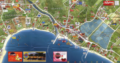
Alykanas and Alykes Map
Tourist map of Alykanas and Alykes, Zakynthos Island, Greece. Shows businesses.
348 miles away
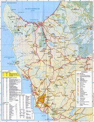
Paphos Tourist Map
Tourist map of Paphos, Cyprus. Shows points of interest in western coastal region of Cyprus around...
353 miles away
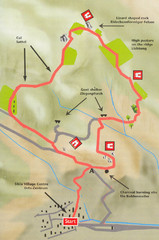
Sikia Circular Walk Map
Map of a circular walk from Sikia. 4 hours. From agrotravel.gr: "This walk takes one on a...
355 miles away
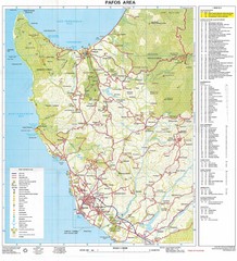
Paphos Area Tourist Map
Tourist map of Paphos (Pafos) area of Cyprus
355 miles away
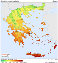
Solar Radiation Map of Greece
Solar Radiation Map Based on high resolution Solar Radiation Database: SolarGIS. On the Solar Map...
357 miles away
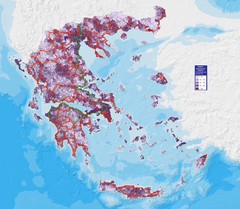
Greece Population Density Map
Shows population density of Greece. Inhabitants per square kilometer.
357 miles away
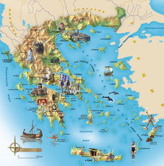
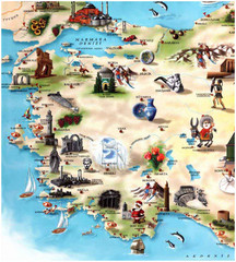
Greece Tourist Map
Stylized tourist map of Greece showing ancient points of interest. In Russian.
357 miles away
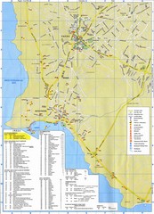
Paphos Tourist Map
Tourist map of town of Paphos (Pafos), Cyprus. Shows points of interest. Scanned.
358 miles away
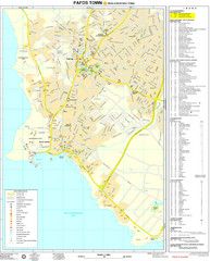
Pafos Tourist Map
Tourist map of the town of Pafos, Cyprus. Shows public buildings, hotels, and other points of...
358 miles away
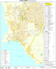
Paphos Town Map
360 miles away
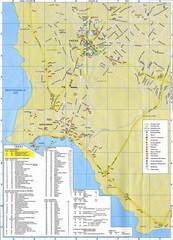
Paphos Town Map
361 miles away
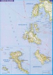
Ionian Islands Map
Overview map of the Greek Ionian Islands including Lefkada, Kefalonia, Zakynthos, Corfu, and Paxo...
361 miles away
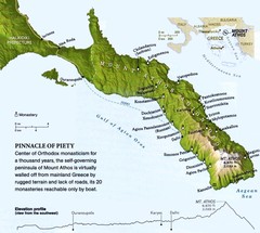
Mount Athos Monasteries Map
365 miles away
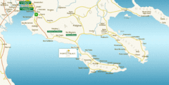
Chalkidiki Map
Map of Chalkidiki, Greece region showing 3 peninsulas.
368 miles away
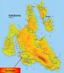
Kefalonia Map
369 miles away
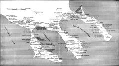
Monastic estates in Chalcidice in 15th and 16...
Monastic estates in Chalcidice pertaining to Mount Athos from History of Macedonia 1354-1833.
372 miles away
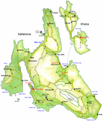
Kefalonia and Ithaka Overview Map
Overview map of the islands of Kefalonia and Ithaka (Ithaki), Greece.
372 miles away
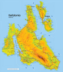
Kefalonia and Ithaka Map
Detailed elevation map of islands of Kefalonia and Ithaka (Ithaki), Greece
373 miles away
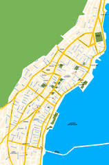
Argostoli City Map
Simple street map of island city of Argostoli, Kefalonia, Greece. Some points of interest shown.
373 miles away

Uludağ University Campus Map
379 miles away
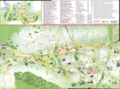
Bursa Map
381 miles away
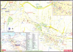
Bursa environs Map
381 miles away
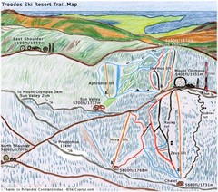
Troodos Ski Trail Map
Trail map from Troodos, which provides downhill and nordic skiing. It has 4 lifts. This ski area...
383 miles away
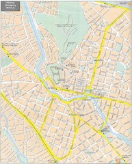
Trikala Street Map
Street map of central Trikala, Greece. In Greek and English. Scanned.
384 miles away
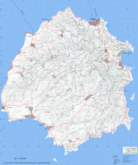
Thassos Topo Map
Topographical map of island of Thassos, Greece. Shows roads and trails.
386 miles away
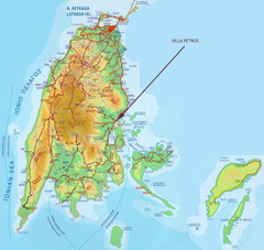
Lefkada Tourist Map
Tourist map of island of Lefkada, Greece.
387 miles away
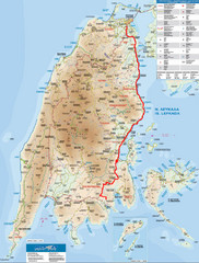
Lefkada Tourist Map
Tourist map of Ionian island of Lefkada, Greece. Shows points of interest. Also shows island of...
387 miles away
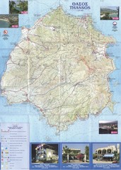
Thassos - Hertz Map
387 miles away
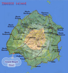
Thassos Island, Greece Tourist Map
389 miles away
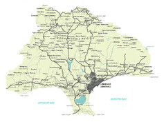
Limassol District Map
Map of Limassol District, Cyprus
392 miles away

World Web Map 2007
The World Web Map is based on the 2007 websites world classification carried out by Alexa and...
392 miles away
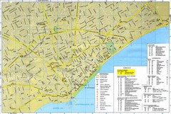
Limassol Tourist Map
Tourist map of Limassol, Cyprus. Shows hotels, consulates, and other points of interest.
395 miles away
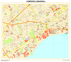
Limassol Town Map
395 miles away
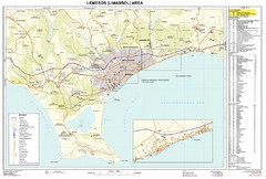
Limassol, Cyprus Tourist Map
395 miles away
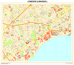
Lemesos Map
395 miles away
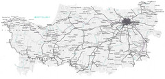
Cyprus Lefkosia Region Map
Map of Cyprus and the Lefkosia region
396 miles away
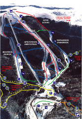
3–5 Pigadia Ski Trail Map
Trail map from 3–5 Pigadia.
407 miles away

