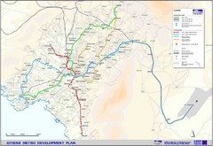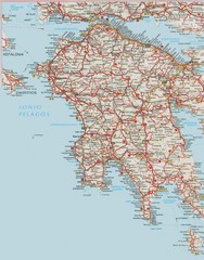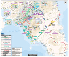
Athens Public Transportation Map
Shows all public transportation in Athens, Greece, including metro, tram, and bus routes.
233 miles away
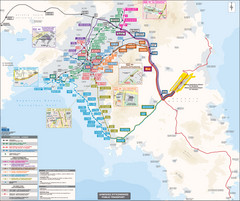
Athens Public Transportation Map (Greek)
233 miles away
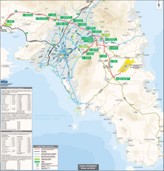
Athens Airport Access Map
Map of access routes to Athens airport. (Greek)
233 miles away
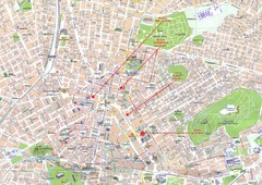
Athens Center Map
Map of central Athens, Greece.
233 miles away

Pireas Hotels Map
234 miles away
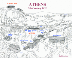
Ancient Athens Map
Map of Athens from 5th Century BCE.
234 miles away

Hydra, Greece Tourist Map
Getting to Hydra Island
238 miles away
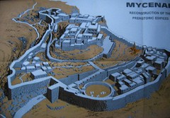
Ancient Mycenae Map
Map of Prehistoric reconstruction of edifices in Mycenae Corfu - green island of Greece
255 miles away
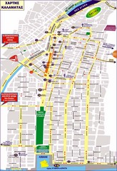
Kalamata Tourist Map
Tourist map of central Kalamata, Greece. Shows points of interest. In Greek.
256 miles away

Agean Sea Map
268 miles away
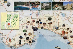
Anatalya and Manavgat District Tourist Map
Tourist map of Anatalya and Manavgat district including city of Anatalya, Turkey. Shows photos of...
274 miles away
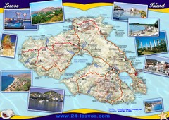
Lesvos (Lesbos) Tourist Map
Tourist map of island of Lesbos (Lesvos), Greece. In English and Greek. Shows points of interest...
277 miles away
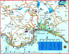
Antalya Turkey Tourist Map
Tourist Map of the Southern Coast of Turkey showing with pictures tourist attractions and...
282 miles away

Antalya Turkey Tourist Map
Tourist Map of Antalya, Turkey showing tourist sites, hotels and restaurants.
282 miles away
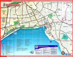
Antalya Tourist Map
Shows points of interest in Antalya area
282 miles away
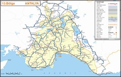
Antalya Region Highways Map
286 miles away
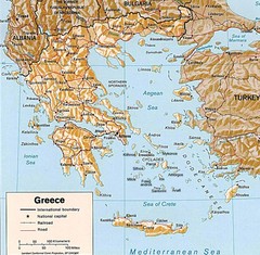
Greece Map
Map of Greece and surrounding countries showing cities, roads, railroads and borders.
291 miles away
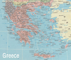
Big Greece Map
296 miles away
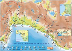
Antalya Region Tourist Map
Tourist map of region around Antalya, Turkey. Shows points of interests using symbols.
296 miles away
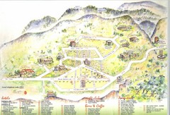
Delphi Tourist Map
Tourist map of Delphi (Delfi), Greece. Shows amenities, nightclubs, bars, cafes, and hotels...
303 miles away
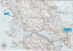
Greece Road Map
Map of Greece with the Aktion and Eleftherios Venizelos Airports marked.
310 miles away

Turkey Map
316 miles away
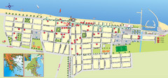
Paralia Tourist Map
Tourist map of Paralia, Greece. Shows hotel locations. Insets show location in Greece.
320 miles away
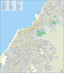
Patra Tourist Map
Tourist map of central Patra, Greece. Shows points of interest.
321 miles away

Egirdir Map
322 miles away
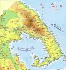
Pelion Tourist Map
Tourist map of Pelion region of Greece including city of Volos. Shows points of interest. Scanned.
329 miles away
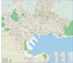
Volos Tourist Map
Tourist map of Volos, Greece. Shows points of interest and some conference info.
336 miles away
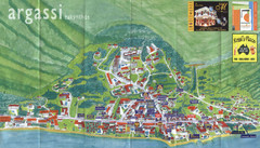
Argassi Tourist Map
Tourist map of Argassi, Zakynthos Island, Greece. Shows all businesses. Scanned.
338 miles away
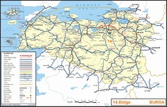
Bursa Region Highways Map
339 miles away
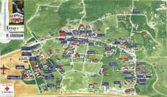
Kalamaki Zakynthos Tourist Map
Tourist map of town of Kalamaki on Zakynthos Island. Scanned.
339 miles away
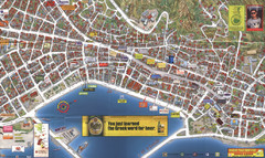
Zakynthos Town Map
Detailed tourist map of Zakynthos Town, Zakynthos Island, Greece. Shows businesses.
340 miles away
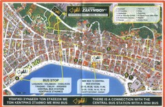
Zakynthos City Tourist Map
Tourist map of Zakynthos city on Zakynthos Island. Shows major points of interest and bus routes...
340 miles away
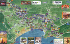
Tsilivi Tourist Map
Tourist map of town of Tsilivi, Zakynthos Island, Greece. Shows businesses. Scanned
342 miles away
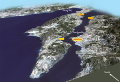
The Dardanelles Oblique Map
343 miles away
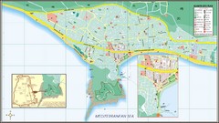
Alanya Tourist Map
Tourist map of central Alanya, Turkey. Shows points of interest.
343 miles away
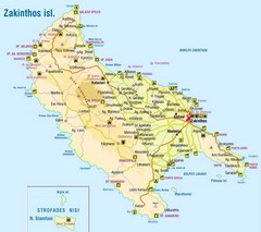
Zakinthos Tourist Map
Tourist map of island of Zakinthos, Greece. Shows symbols for tourist activities.
344 miles away
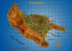
Zakynthos Tourist Map
Tourist map of island of Zakynthos, Greece. Shows points of interest. Scanned.
345 miles away

