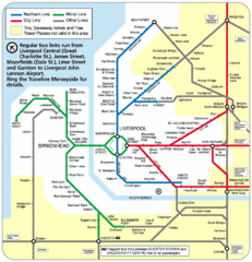
Merseyside Tube Map
244 miles away
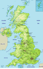
United Kingdom Physical Map
Guide to topography and physical features of Great Britain
245 miles away
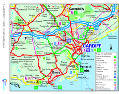
Cardiff Region Tourist Map
Regional tourist map of area surrounding Cardiff, UK. Shows all attractions.
245 miles away
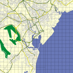
Cardiff Street Map
Street map of Cardiff, Wales area.
245 miles away
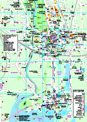
Cardiff City Map
Tourist map of city center of Cardiff, UK. Shows points of interest
245 miles away
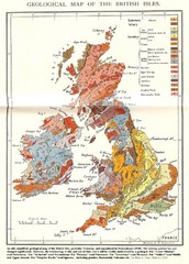
British Isles Geological Map
Old British Isles geological map
247 miles away
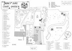
Abbey Dore Court Garden Map
247 miles away
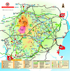
Dartmoor National Park Map
Official visitor map of Dartmoor National Park, England. Shows elevation and visitor attactions.
249 miles away

University College Plymouth Map
University College Plymouth St Mark & St John Derriford Road, Plymouth, Devon PL6 8BH
249 miles away
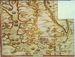
Plymouth Map 1500s
Map of Plymouth, England area in late 1500s
249 miles away
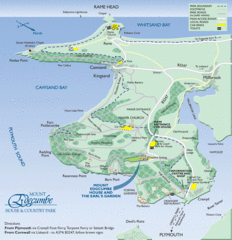
Mount Edcumbe Tourist Map
249 miles away
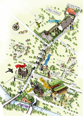
Alloway Scotland Map
251 miles away
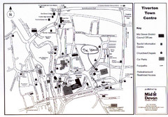
Tiverton Town Center Map
Black and white map shows major streets in Tiverton, Devon.
251 miles away
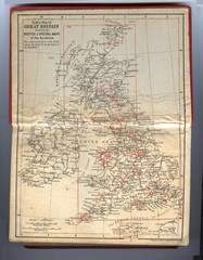
1910 Great Britain Map
251 miles away
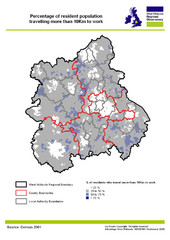
West Midlands Travel Time Statistics Map
Percentage of residents who travel to work in West Midlands, England
253 miles away
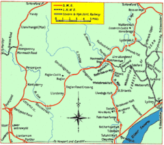
Monmouth and Wye Valley Railways Map
Map showing the 3 major railway lines and the cities with stops of Monmouth, UK.
253 miles away
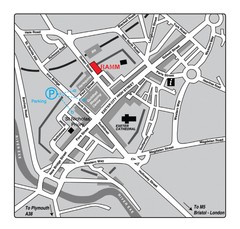
Royal Albert Memorial Museum Location Map
256 miles away
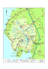
Lake District National Park Map
Detailed map marking the roads and boundaries of on of Britain's National Parks.
257 miles away
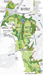
Cuerden Valley Park Map
258 miles away
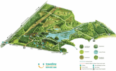
Stover Country Park Map
258 miles away
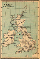
878 England Map
Guide to England after the Peace of Wedmore
258 miles away

South Hams England Map
Map of South Hams, England showing cities,parks, major roads and railways.
260 miles away
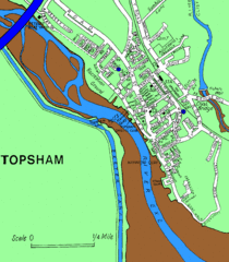
Topsham Street Map
260 miles away
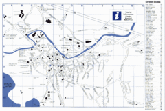
Keswick Tourist Map
Tourist map of Keswick, England. Shows all points of interest and has a street index.
262 miles away
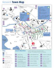
Keswick Town Map
Map of Keswick with Christian locations identified
262 miles away
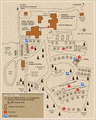
Castle Rigg Park Map
262 miles away
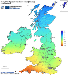
United Kingdom Solar Radiation Map
Guide to yearly total of global horizontal solar irradiation
263 miles away
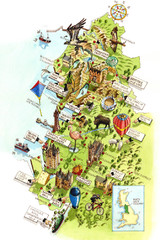
North West England Map
North West England map by Katherine Baxter
264 miles away
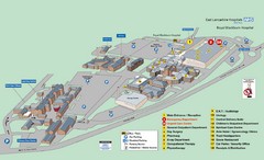
Royal Blackburn Hospital Map
Maps of Royal Blackburn
266 miles away
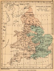
1644 England and Wales Political Map
Map showing districts held by teh King versus the Parliament during the Puritan Revolution
267 miles away
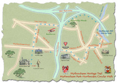
Wythenshawe Heritage Trail map
Northenden Circular Walk trail at Wythenshawe Park.
269 miles away
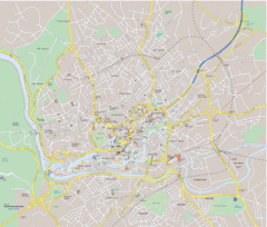
Bristol City Map
Overview map of city of Bristol. Zooms with details available on original website.
270 miles away
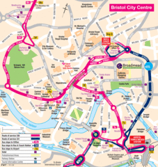
Bristol Hotel Map
270 miles away

Bristol, England Tree Map
270 miles away
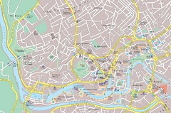
Central Bristol Tourist Map
Neighborhoods, landmarks and streets in Bristol, England
270 miles away
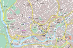
Bristol Tourist Map
Tourist map of central Bristol, England.
270 miles away
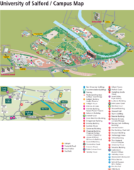
University of Salford Map
270 miles away
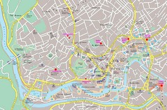
Bristol Centre Map
270 miles away
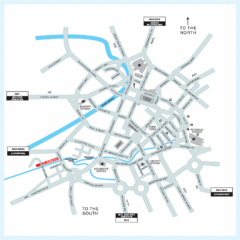
Manchester Overview Map
271 miles away
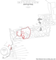
Jodrell Bank Observatory Map
Map of the Jodrell Bank Observatory. Shows location of parking lot, layout of the observatory...
271 miles away

