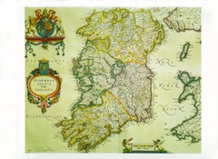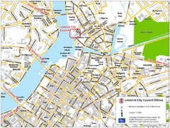
Limerick City Map
City map of Limerick, Ireland with City Council offices highlighted
0 miles away
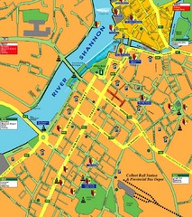
Central Limerick, Ireland Tourist Map
less than 1 mile away
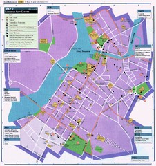
Limerick Tourist Map
Tourist map of central Limerick, Ireland. Shows tourist points of interest in city center...
less than 1 mile away
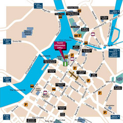
Limerick Tourist Map
less than 1 mile away
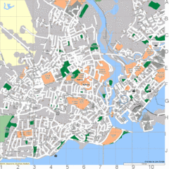
Galway, Ireland Tourist Map
46 miles away
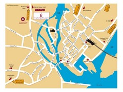
Galway, Ireland Tourist Map
46 miles away

Galway City Map
City map of Galway, Ireland showing city streets, schools, and parking.
46 miles away
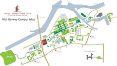
NUI Galway Campus Map
Map of National University of Ireland, Galway Campus
46 miles away
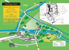
Blarney Castle Map
Shows buildings and grounds of Blarney Castle, home of the Blarney Stone.
51 miles away
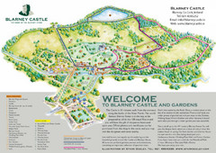
Blarney Castle Map
Official tourist map of Blarney Castle in Blarney, Ireland. Home of the Blarney Stone. Kiss the...
51 miles away
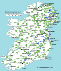
Road Map of Ireland
Road map of Ireland showing all motorways and major roads.
52 miles away
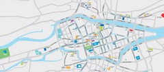
Cork City Map
Street map of Cork City
54 miles away
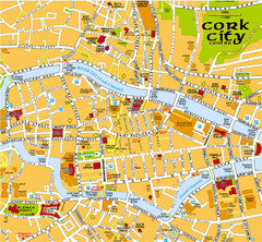
Cork, Ireland Tourist Map
54 miles away
Cork, Ireland Tourist Map
54 miles away
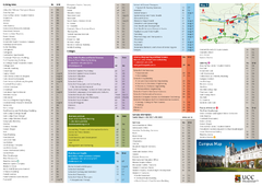
UCC Campus Map
54 miles away
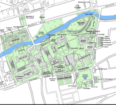
University College Cork Main Campus Map
Great map of this beautiful campus.
54 miles away
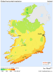
Solar Radiation Map of Ireland
Solar Radiation Map Based on high resolution Solar Radiation Database: SolarGIS. On the Solar Map...
54 miles away
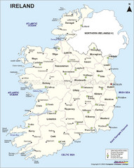
Ireland Political Map
54 miles away
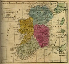
1808 Ireland Historical Map
54 miles away
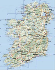
Ireland Tourist Map
54 miles away
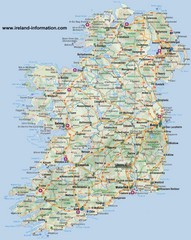
Ireland Travel Map
Map of Ireland detailing cities, major roads and airports.
54 miles away
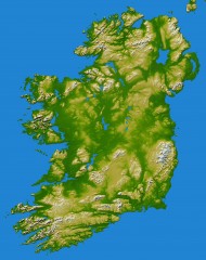
Ireland Topo Map
Shading and color-coding of topographic height.
54 miles away

Co. Kerry Map
56 miles away

Carrigaline Town Map
60 miles away
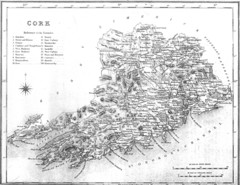
Cork County Map
Map of County Cork from 1800
63 miles away
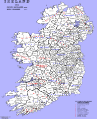
Ireland County/ Barony Map
Barony and County Map of Ireland
64 miles away
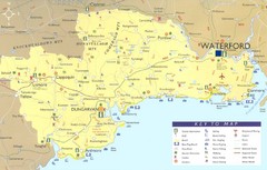
Waterford Tourist Map
This map and key allow you to find a high number of activities and points of interest in this fun...
69 miles away
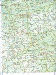
Kilmeen Area County Cork Map
Road and topo map of Kilmeen area in southwestern County Cork.
71 miles away
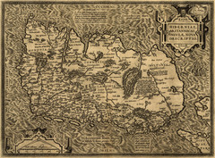
Ortelius’ Map of Ireland (1598)
Abraham Ortelius' map of Ireland in 1598.
73 miles away
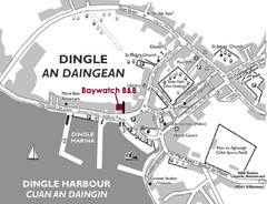
Dingle Town Map
Simple tourist map for Dingle Town, Ireland showing streets and places of interest.
78 miles away
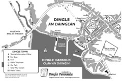
Dingle Town Map
78 miles away
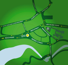
Clifden Overview Map
Simple street map of center of Clifden, Ireland
81 miles away
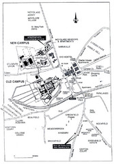
Maynooth Housing and Accommodation Map
Shows housing estates and accommodations in Maynooth, Ireland, home of the National University of...
98 miles away
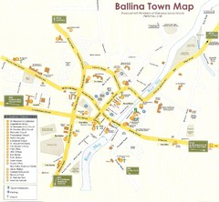
Ballina Town Map
103 miles away
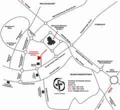
Coolmine Community School Location Map
Coolmine caters for over 1100 day-pupils, both boys and girls, aged from 12 to 18 years who live...
105 miles away
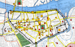
Dublin Medieval Map
Map of Dublin's medieval city superimposed on a modern OS map. (From H.B. Clarke, 'Dublin...
109 miles away
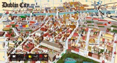
Dublin Tourist Map
Shows key for restaurants, bars/pubs, wine bars, shops & services, nightclubs, museums, and...
109 miles away
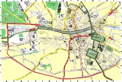
Dublin City Map
City map of central Dublin, Ireland.
109 miles away
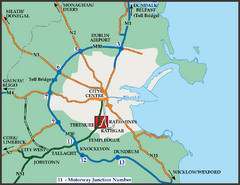
Central Dublin, Ireland Highway Map
109 miles away

