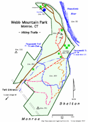
Webb Moutain Park Map
25 miles away
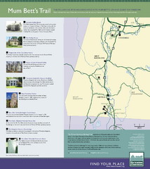
Mum Bett's Trail Map
Historic African American trail guide
26 miles away
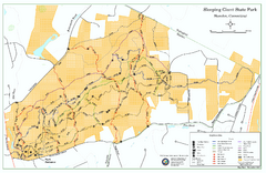
Sleeping Giant State Park map
Trail map for Sleeping Giant State Park in Connecticut.
26 miles away
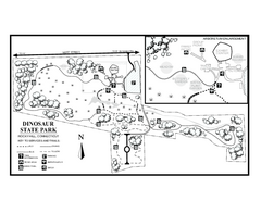
Dinosaur State Park map
Trail map of Dinosaur State Park in Connecticut.
26 miles away
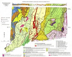
Connecticut Geologic Map
Geologic map of Connecticut bedrock. Shows shaded terranes, fault lines, and Mesozoic formations.
26 miles away
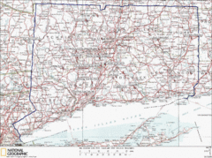
Connecticut Rock Climbing Locations Map
A map of most of the important rock climbing and bouldering areas in Connecticut. Click the link...
26 miles away
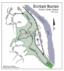
Birchbank Park Map
26 miles away
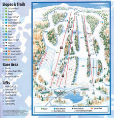
Powder Ridge Ski Area Ski Trail Map
Trail map from Powder Ridge Ski Area.
27 miles away
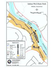
Indian Well State Park map
Trail map for Indian Well State Park in Connecticut.
27 miles away
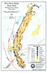
West Rock Ridge State Park map
Trail map of West Rock Ridge State Park in Connecticut.
28 miles away
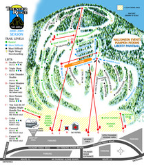
Thunder Ridge Ski Trail Map
Trail map from Thunder Ridge.
28 miles away
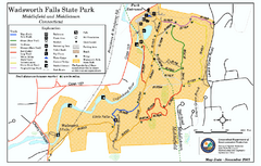
Wadsworth Falls State Park map
Trail map of Wadsworth Falls State Park in Connecticut.
28 miles away
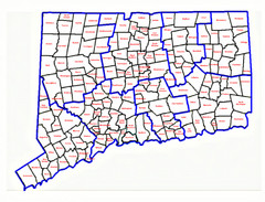
Connecticut Town Map
28 miles away
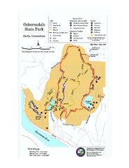
Osbornedale State Park map
Trail map of Osborndale State Park in Connecticut.
28 miles away
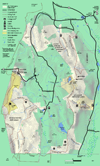
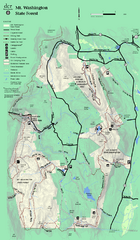
Mt. Washington State Forest trail map
Trail map of Mt. Washington State Forest
28 miles away
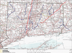
Connecticut Long Distance Trails Map
A map of long distance trails throughout Connecticut. Go to the website below for detailed trail...
28 miles away
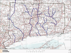
Connecticut Rivers and Coastal Paddling Map
This is a map of paddling areas for rivers and coastal kayaking. Follow the link below for...
29 miles away
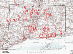
Connecticut Road Cycling Routes Map
A map of road cycling routes throughout Connecticut. Follow the link below for detailed route maps...
29 miles away
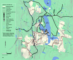
Tolland State Forest summer trail map
Summer use map for Tolland State Forest in Massachusetts.
29 miles away
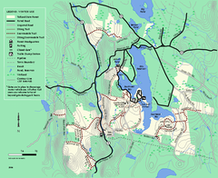
Tolland State Forest winter trail map
Winter usage trail map of the Tolland State Forest area in Massachusetts.
30 miles away
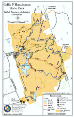
Collis P. Huntington State Park map
Trail map of Collis P. Huntington State Park in Connecticut
30 miles away
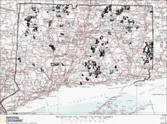
Connecticut State Forests Map
This is a map of all of the state forest boundaries in Connecticut. Follow the source web address...
30 miles away
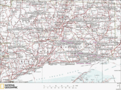
Connecticut Canoeing and Kayaking Lakes Map
A map of the lakes and ponds that are open for canoeing and kayaking in Connecticut. For detailed...
30 miles away
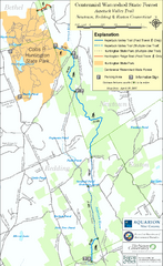
Centennial Watershed State Forest trail map
Trail map of Centennial Watershed State Forest in Connecticut
30 miles away
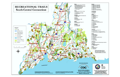
South Central Connecticut Recreational Trail Map
Map of South Central Connecticut showing all recreational trails and open spaces.
30 miles away
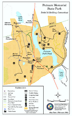
Putnam Memorial State Park map
Trail map for Putnal Memorial State Park in Connecticut,
30 miles away
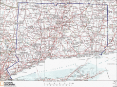
Connecticut State Parks Map
This is statewide map for Connecticut state parks. Go to the source website for detailed hiking...
31 miles away
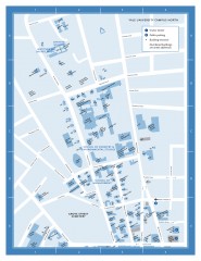
Yale University Campus North Map
Yale University Campus Map - North Campus, including School of Forestry & Environmental Studies...
31 miles away
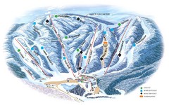
Butternut Ski Area Ski Trail Map
Trail map from Butternut Ski Area.
32 miles away
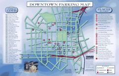
Downtown New Haven Parking Map
Shows locations of all town parking lots and also points of interest
32 miles away
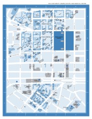
Yale University Campus South and Medical Center...
Yale University Campus South and Medical Center, including the Hewitt Quad, Cross Campus, Old Campus
32 miles away

Yale University Map
32 miles away
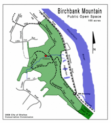
Birchbank Park Map
Several miles of moderately difficult trails along the Housatonic River bluff, including the...
32 miles away
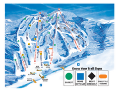
Blandford Ski Area Ski Trail Map
Trail map from Blandford Ski Area.
34 miles away
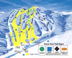
Blandford Ski Trail Map
Official ski trail map of Blandford ski area
34 miles away

Six Flags New England Theme Park Map
Official Park Map of Six Flags New England in Massachusetts.
34 miles away
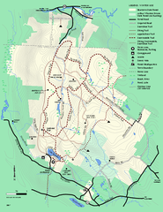
Beartown State Park Winter Map
Winter use map of Beartown State Park in Massachusetts
34 miles away
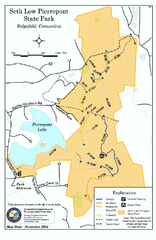
Seth Low Pierrepont State Park Reserve map
Trail map of Seth Low Pierreport State Park in Connecticut.
34 miles away
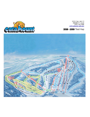
Catamount Ski Area Ski Trail Map
Trail map from Catamount Ski Area.
34 miles away

