
Topsmead State Forest map
Trail map for Topsmead State Forest in Connecticut.
0 miles away
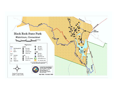
Black Rock State Park trail map
Trail map of Black Rock State Park in Connecticut.
6 miles away
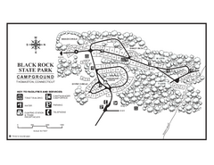
Black Rock Campground map
Map of the Campgrounds in Black Rock State Park.
6 miles away
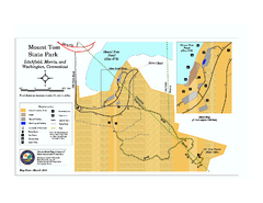
Mount Tom State Park trail map
Trail map of Mt. Tom State Park in Connecticut.
8 miles away

South Mohawk Mountain State Forest (Winter Trails...
Winter trial map for the Southern Section of Mohawk Mountain State Forest in Connecticut.
9 miles away
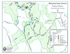
South Mohawk Mountain State Forest (Summer Trails...
Summer trails for South Mohawk State Forest in Connecticut.
9 miles away
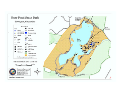
Burr Pond State Park map
Map of Burr Pond State Park in Connecticut.
9 miles away
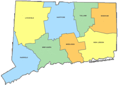
Connecticut Counties Map
10 miles away
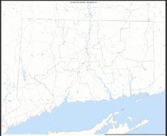
Connecticut Zip Code Map
Check out this Zip code map and every other state and county zip code map zipcodeguy.com.
10 miles away
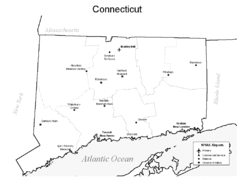
Conneticut Airports Map
10 miles away

North Mohawk Mountain State Forest (Winter Trails...
Winter trail map for North Mohawk Mountain State Forest in Connecticut.
10 miles away

North Mohawk Mountain State Forest (Summer Trails...
Summer trail map of the North section of Mohawk Mountain State Forest in Connecticut.
10 miles away
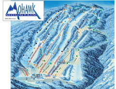
Mohawk Mountain Ski Trail Map
Ski trail map of Mohawk Mountain ski area
11 miles away
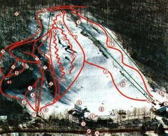
Woodbury Ski Area Ski Trail Map
Trail map from Woodbury Ski Area, which provides downhill, night, nordic, and terrain park skiing...
12 miles away
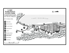
Lake Waramaug State Park campground map
Campground map of Lake Waramaug State Park.
13 miles away
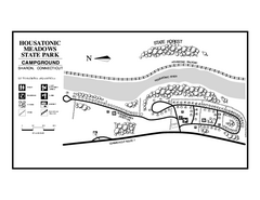
Housatonic State Forest campground map
Campground map of Housatonic State Forest in Connecticut.
14 miles away
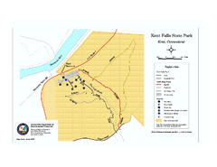
Kent Falls State Park trail map
Trail map of Kent Falls State Park in Connecticut.
14 miles away
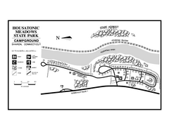
Housatonic Meadows State Park campground map
Campground map for Housatonic Meadows State Park in Connecticut.
14 miles away
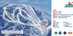
Ski Sundown Ski Trail Map
Trail map from Ski Sundown, which provides downhill and night skiing. It has 5 lifts servicing 15...
14 miles away
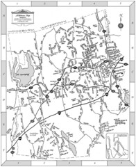
Middlebury, Connecticut Map
15 miles away
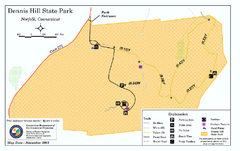
Dennis Hill State Park map
Trail map of Dennis Hill State Park in Connecticut.
15 miles away
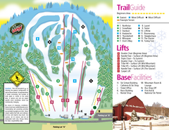
Mt. Southington Ski Area Ski Trail Map
Trail map from Mt. Southington Ski Area, which provides downhill, night, and terrain park skiing...
16 miles away
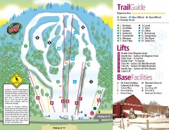
Mount Southington Ski Trail Map
Official ski trail map of Mount Southington ski area from the 2007-2008 season.
16 miles away
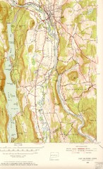
New Milford, Connecticut Map
New Milford, Connecticut topo map with roads, streets and buildings identified
17 miles away
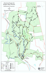
American Legion State Forest trail map
Trail map of American Legion and Peoples State Forests in Connecticut.
17 miles away
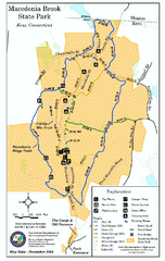
Macedonia Brook State Park trail map
Trail map of Macedonia Brook State Park in Connecticut.
18 miles away
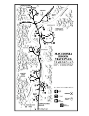
Macedonia Brook State Park campground map
Campground map for Macedonia Brook State Park in Connecticut.
18 miles away
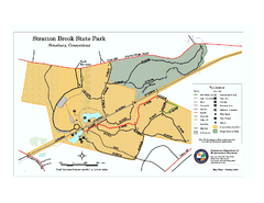
Stratton Brook State Park map
Trail map of Stratton Brook State Park in Connecticut.
18 miles away
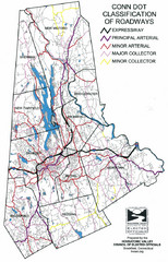
Connecticut Roadway Classification Map
19 miles away
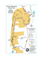
Talcott Mountain State Park map
Trail map of Talcott Mountain State Park in Connecticut.
19 miles away
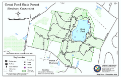
Great Pond State Park trail map
Trail map of Great Pond State Forest in Connecticut.
20 miles away
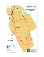
Southford Falls State Park map
Trail map for Southford Falls State Park in Connecticut.
20 miles away
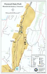
Penwood State Park map
Trail map of Penwood State Park in Connecticut.
21 miles away
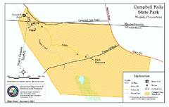
Cambell Falls State Park map
Trail map of Campbell Falls State Park Reserve in Connecticut
21 miles away
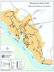
Kettletown State Park trail map
Trail map for Kettletown State Park in Connecticut.
22 miles away
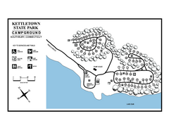
Kettletown State Park campground map
Campground map for Kettletown State Park in Connecticut.
22 miles away
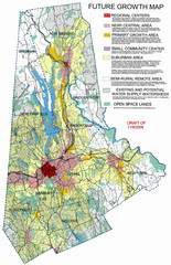
Danbury Regional Growth Map
Guide to future growth of Danbury, CT and surrounds
23 miles away
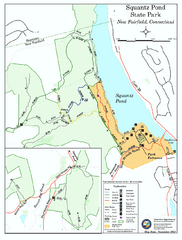
Squantz Pond State Park map
Trail and campground map for Squantz Pond State Park in Connecticut.
23 miles away
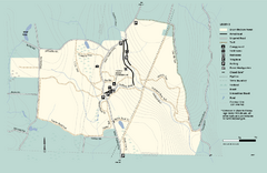
Granville State Forest trail map
Trail map of Granville State Forest in Massachusetts
24 miles away

Wadsworth Athenium Museum Location Map
Wadsworth Athenium visitor location map with locations of major buildings, streets, parks, and...
24 miles away

