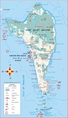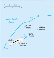
Johnston Atoll Island Tourist Map
4352 miles away
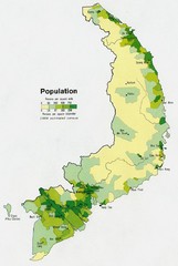
South Vietnam Population Map
Map marking population according to persons per square mile.
4355 miles away
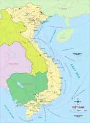
Vietnam Map
Country map of Vietnam. Shows neighboring countries.
4355 miles away
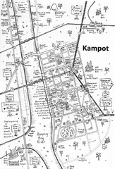
Kampot, Camodia Map
4358 miles away
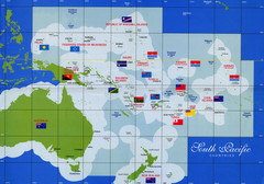
South Pacific Countries Map
Shows countries of the South Pacific with flags.
4359 miles away
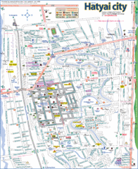
Hat Yai Map
4359 miles away
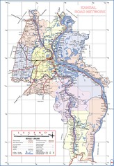
Kandal Province Cambodia Road Map
4359 miles away
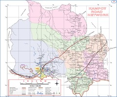
Kampot Province Cambodia Road Map ( Kampot )
4360 miles away
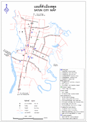
Satun City Map
City map of Satun with important landmarks
4360 miles away
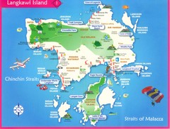
Langkawi Tourist Map
Places of interest.
4363 miles away
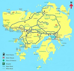
Langkawi Tourist Map
Tourist Map of Langkawi, places of interest.
4363 miles away
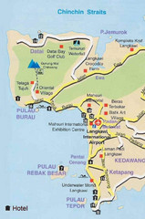
Langkawi Tourist Map
4365 miles away
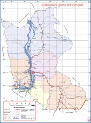
Kracheh Province Cambodia Road Map
4365 miles away
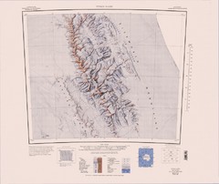
Vinson Massif Topo Map
Topo map of Vinson Massif, the highest mountain in Antarctica at 16067 ft / 4897 m. One of the...
4366 miles away
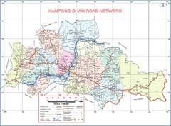
Kampong Cham Province Cambodia Road Map
4371 miles away
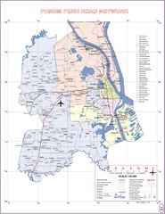
Phnom Penh Surrounding Area Cambodia Road Map
4372 miles away
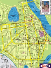
Phnom Penh Tourist Map
Tourist map of central Phnom Penh, Cambodia. Shows hotels, restaurants, and other points of...
4373 miles away
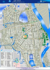
Phenum Penh City Tourist Map
Places of interest.
4373 miles away
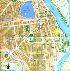
Phnum Penh, Cambodia Tourist Map
Phnum Penh in Cambodia.
4373 miles away
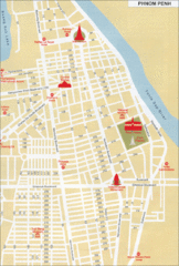
Phnom Penh CambodiaTourist Map
Tourist map of Phnom Penh, Cambodia showing streets, hotels and tourist sites.
4373 miles away
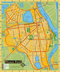
Phnom Penh Tourist Map
Tourist map of Phnom Penh, Cambodia. Shows points of interest.
4375 miles away
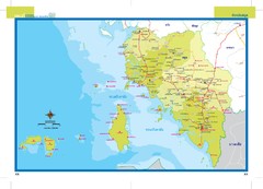
Satun, Thailand Map
4378 miles away
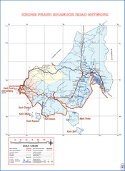
Krong Praeh Sihanuok Province Cambodia Road Map
4383 miles away
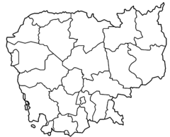
Cambodia Provinces Outline Map
4390 miles away
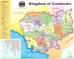
Kingdom of Cambodia - Ministry of Tourism Map
4391 miles away
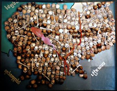
Skull Map of Cambodia Tuol Sleng Genocide Museum...
The Tuol Sleng Genocide Museum is a museum in Phnom Penh, the capital of Cambodia. The site is a...
4393 miles away

Rotanak Kiri Province Cambodia Road Map
4397 miles away
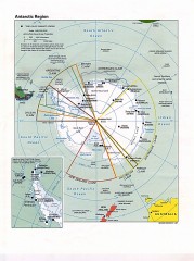
Antarctic Region Political Map 1997
Map centered on South Pole shows all country claims in Antarctica. Also shows year-round research...
4399 miles away
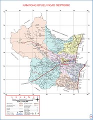
Kampong Spueu Province Cambodia Road Map
4400 miles away
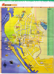
Kaohsiung Map
4405 miles away
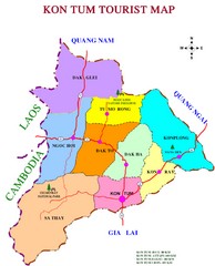
Kon Tum Road Map
Road map of Kon Tum, Vietnam region. (map says tourist map but more a road map)
4407 miles away
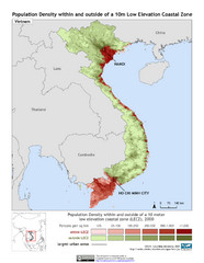
Vietnam 10m LECZ and Population Density Map
Low Elevation Coastal Zone and population desnsity within and outside of a 10 meter low evelevation...
4407 miles away
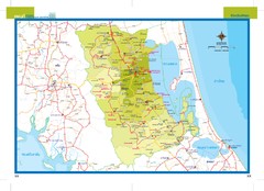
Phatthalung, Thailand Map
4408 miles away
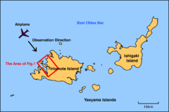
Iriomote Island Map
Outline map of Iriomote Island and Ishigaki Island
4408 miles away
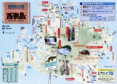
Iriomote Island Tourist Map
4410 miles away
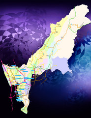
Kaohsiung County Traffic Guide Map
Major Arterial Road Map of Kaohsiung County, Taiwan
4413 miles away
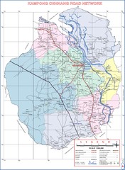
Kampong Chhnang Province Cambodia Road Map
4421 miles away
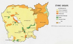
Cambodia Ethnic Groups Map
Map of Cambodia with detail of ethnic group distributions
4421 miles away
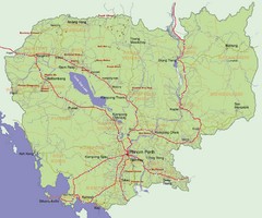
Cambodia Map
4421 miles away

