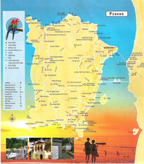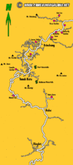
Cameron Highlands Map
4189 miles away
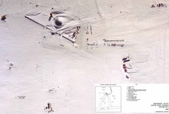
Amundsen Scott South Pole Station Aerial Map
Aerial photo map of the US Amundsen Scott South Pole Station at the South Pole, Antarctica
4194 miles away
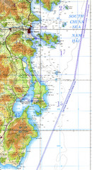
Cam Ranh Bay Topo Map
Topo map of Cam Ranh Bay, Vietnam on the South China Sea
4205 miles away
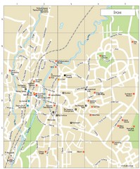
Ipoh Tourist Map
4212 miles away
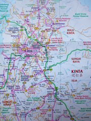
Ipoh City Center Map
4212 miles away
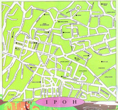
Ipoh City Perak Malaysia Tourist Map
Ipoh City, Perak, Malaysia city tourist map showing streets, tourist sites and hotels.
4212 miles away
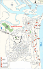
Nha Trang Hotel Map
4219 miles away
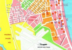
Nha Trang Hotel Map
Streets, roads and hotels are marked on this large map.
4219 miles away
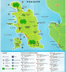
Pangkor Island Tourist Map
Map Of Pangkor Island, Perak, Malaysia showing hotels, and activities on the island.
4221 miles away
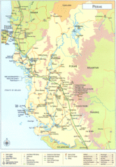
Perak Tourist Map
Tourist map of Perak, Malaysia
4230 miles away
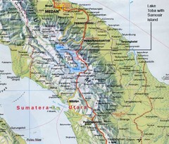
Samosir island Lake Toba, Sumatra Map
The 4th largest island on a lake
4231 miles away

Ho Tuyen Lam Vietnam Map
Hand drawn map of the birding excursion taken in Ho Tuyen Lam, Vietnam with notes on the route and...
4234 miles away
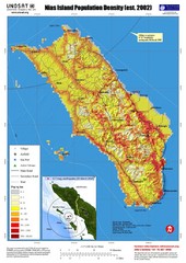
Nias Island Population Density Map
Density map for time of8.7 magnitude Earthquake March 28, 2005
4237 miles away
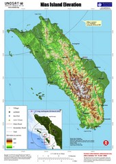
Nias Island Elevation and Earthquake Map
Elevation of Nias Island with details of March 2005 Earthquake.
4237 miles away
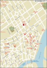
Ho Chi Minh City Map
City map of Ho Chi Minh City, Vietnam. Shows hotels.
4251 miles away
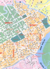
Saigon Vietnam City map
Street level map of Saigon, Vietnam showing tourist attractions.
4252 miles away
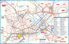
Ho Chi Minh Bus Map
4252 miles away
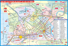
Ho Chi Minh Tourist Map
4252 miles away
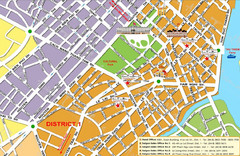
Ho Chi Minh Tourist Map
City center of Ho Chi Minh
4252 miles away
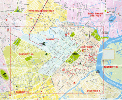
Saigon Map
Shows districts of Saigon, Vietnam
4253 miles away
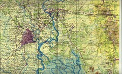
Saigon Area Map
Shows area surrounding Saigon, Vietnam.
4253 miles away
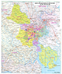
Ho Chi Minh City Map
City map of Ho Chi Minh City
4254 miles away
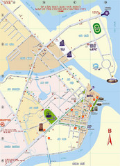
Cantho Hotel Map
Points of interest, street, hotels and more are marked on this Vietnamese map.
4255 miles away
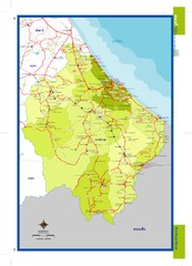
Narathiwat, Thailand Map
4255 miles away
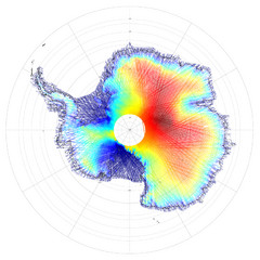
Antarctica Land and Ice Elevation Map
The colors on the map above represent ICESat’s measurements of Antarctica’s topography...
4281 miles away
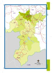
Yala, Thailand Map
4281 miles away
Polonia Airport Map
4288 miles away
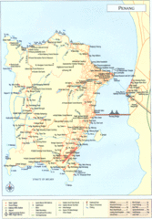
Penang Island Map
4292 miles away
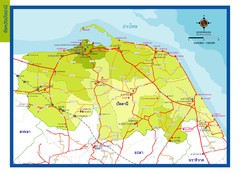
Pattani Map
4296 miles away
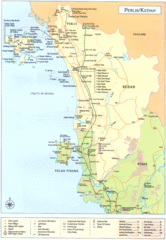
Perlis Kedah Tourist Map
Tourist map of state of Perlis-Kedah, Malaysia. Shows points of interest.
4302 miles away
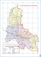
Svay Rieng Province Cambodia Road Map
4308 miles away
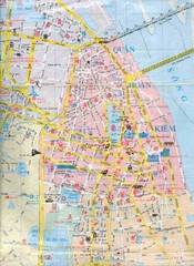
Vietnam Tourist Map
Landmarks, roads and areas in Vietnam
4338 miles away

Mondol Kiri Province Cambodia Road Map
4340 miles away
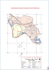
Krong Kaeb Cambodia Road Map
4345 miles away
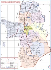
Takaev Province Cambodia Roads ( Takeo Provience...
4346 miles away
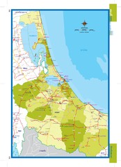
Songkhla, Thailand Map
4348 miles away
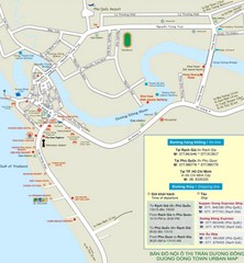
Duong Dong Town Map
Map of Duon Dong, Phu Quoc Island
4348 miles away
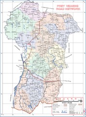
Prey Veaeng Province Cambodia Road Map
4349 miles away
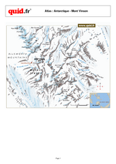
Mont Vinson Map
Map of Vinson Massif mountain range, the highest range in Antartica, 16,050 ft high. Located about...
4350 miles away

