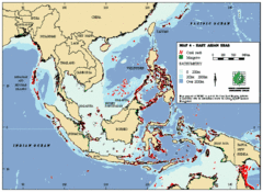
East Asian Sea Map
Map of the seas and oceans in East Asia. Includes color coded depths of the water and locations of...
3754 miles away
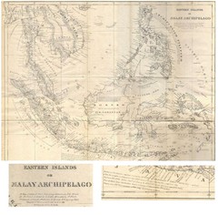
Eastern Islands Map
Antique map of the Eastern Islands or Malay Archipelago. Includes all islands, towns and detailed...
3755 miles away
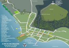
Coron, Palawan Map
3766 miles away
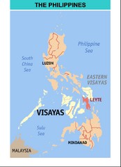
Philippines Map
3769 miles away
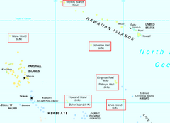
US Minor Outlying Islands Map
Shows all islands included in the United States Minor Outlying Islands designation.
3792 miles away
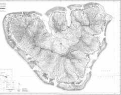
Moorea Topo Map
Topographic map of island of Moorea in the French Polynesia. Contains highly detailed information...
3792 miles away
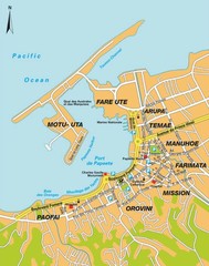
Papeete city Map
3808 miles away
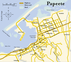
Papeete map ( on Tahiti )
3808 miles away
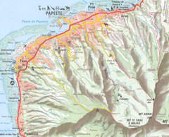
Papeete vicinity Map
3809 miles away
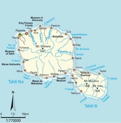
Tahiti Map
3812 miles away
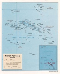
French Polynesia Tourist Map
3812 miles away
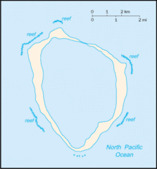
Clipperton Island Tourist Map
3812 miles away
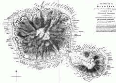
Captain Cook's Map of Tahiti
Map of Tahiti in French Polynesia according to the survey taken by Captain Cook and later corrected...
3813 miles away

Chernarus Map
3815 miles away
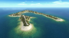
Wake Island Map
Screen shot from computer game of Wake Island 1943
3816 miles away
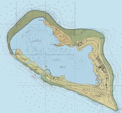
Wake Island Map
3816 miles away
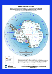
Antarctica Overview Map
Overview map of Antarctica shows geological features and US and UK research stations
3825 miles away
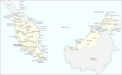
Malaysia Map
A large Malaysia map with main citiies, roads and railways pointed out on the map.
3833 miles away
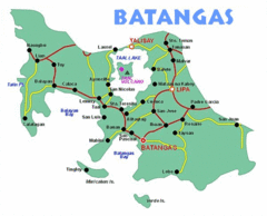
Batangas Tourist Map
3841 miles away
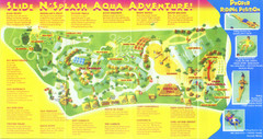
Splash Island Water Park Map
Map of Splash Island waterpark in Biñan, Laguna, Philippines . Scanned.
3866 miles away
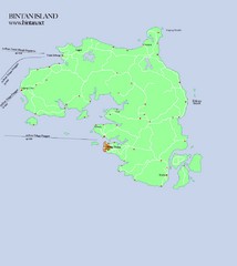
Bintan Island Map
Overview map of Bintan Island
3873 miles away
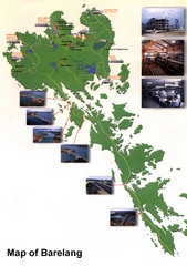
Barelang Bridge Map
Shows ferry terminals, airport, and chain of 6 bridges (with photos) known as the Barelang Bridge...
3881 miles away
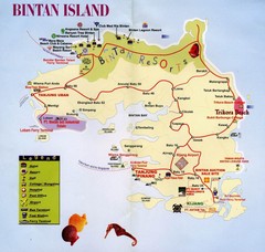
Bintan Island, Indonesia Beach Tourist Map
3881 miles away
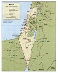
Israel Country map
3891 miles away
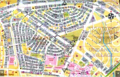
Makati City Tourist Map
Makati City, Philippines tourist map
3894 miles away
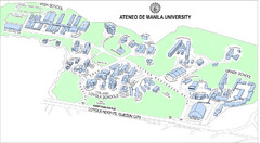
Ateneo de Manila University Loyola Heights Campus...
Campus map of Loyola Heights Campus at Ateneo de Manila University
3898 miles away
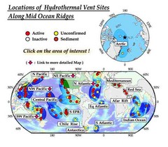
Global Map of Hydrothermal Vents
Map of underwater hydrothermal vents. Could not get to original to get more detailed areas. Vents...
3898 miles away
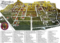
University of Phillippines Campus Map
3898 miles away
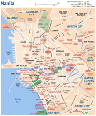
Manila Tourist Map
3899 miles away
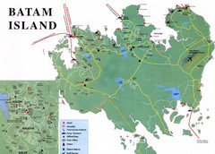
Batam Tourist Map
Tourist map of Batam island, Indonesia. Shows all ferry terminals, airport, and other useful info...
3899 miles away
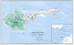
Corregidor Island Map
Elevation map with major roads and installations of Corregidor Island Battlefield Memorial
3899 miles away
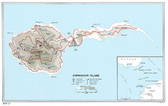
Corregidor Island WWII Map
Shows World War II fortifications on Corregidor Island, Philippines
3899 miles away
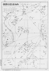
South China Sea Islands Map
3900 miles away
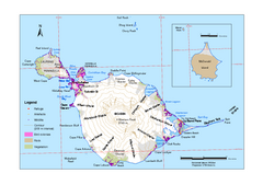
Heard Island and McDonald Islands Map
Map of Heard Island and McDonald Islands with place names, contours and the location of glaciers...
3908 miles away
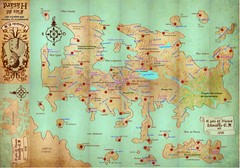
Mapa imaginario del Pais de HASARD Map
3912 miles away

Changi Beach Park Map
3915 miles away
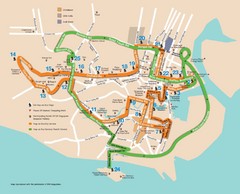
Singapore Tour Bus Map
3915 miles away
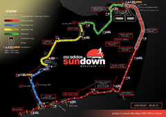
Sundown Marathon Route Map
Map of Adidas Sundown Marathon route for 2009
3916 miles away
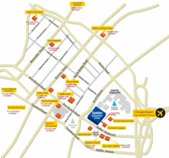
Serangoon Tourist Map
3916 miles away
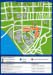
Suntec City map
3917 miles away

