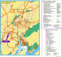
Bandar Seri Begawan Tourist Map
Tourist map of Bandar Seri Begawan, Brunei and environs. Shows foreign missions, hotels, shopping...
3578 miles away

Bandar Seri Begawan city Map
3579 miles away
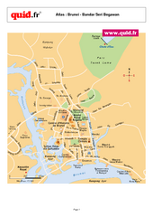
Bandar Seri Begawan Map
City map of capital
3579 miles away
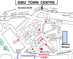
Sibu Tourist Map
3580 miles away

Labuan Town Tourist map
Tourist Map for the town of Labuan, Malaysia showing airports, bus stops and tourist information.
3585 miles away
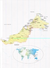
Sarawak and Sabah Map
Overview map of Sarawak and Sabah, Malaysia. Also shows Brunei Darussalam. Inset shows location...
3588 miles away
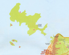
Tunku Abdul Rahman Marine Park Map
Map of the 5 islands of Tunku Abdul Rahman Marine Park in Kota Kinabalu
3591 miles away
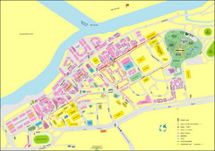
Miri City Map
City map of old town Miri. Shows places of interest.
3591 miles away
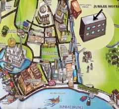
Sungai tourist Map
3592 miles away
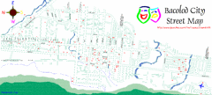
Bacolod City Map
City Map of Bacolod, Philippines
3597 miles away
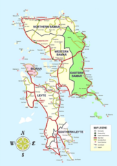
Samar Island Tourist Map
3598 miles away
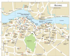
Kuching Guide Map
3611 miles away
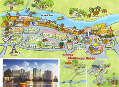
Kuching Tourist Map
Guide to Kuching, Sarawak
3612 miles away
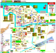
Iloilo City Map
City map of Iloilo, Phillippines. Shows businesses and points of interest.
3612 miles away
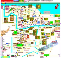
Iloilo City Map
Tourist Map of Iloilo
3613 miles away

Pagan island bathymetric Map
3614 miles away
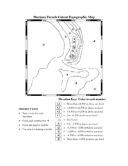
Color it yourself map of Marianas Trench
3616 miles away
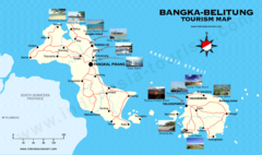
Bangka-Belitung Tourist Map
Places of interest. Indonesia.
3636 miles away
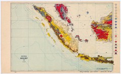
Indonesia Geology Map
Geologic map of Indonesia, 1932
3638 miles away

US outlying minor properties Map
3645 miles away
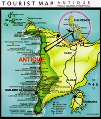
Antique Region Panay Island Map
Places of interest.
3650 miles away
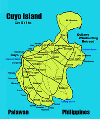
Cuyo Island Palawan Philippines Map
3673 miles away
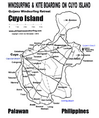
Cuyo Island Palawan Philippine Map
Cuyo is part of a group of 45 islets known as Quiniluban. It lies south of Mindoro and between...
3674 miles away
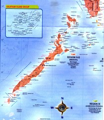
Palawan Islands Map
3690 miles away
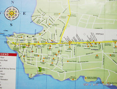
Puerto Princesa, Palawan Map
3694 miles away
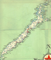
Palawan Island Road Map
3698 miles away
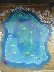
Bora Bora Map
Map of island from photo of sign
3719 miles away

South Keeling islands Map
3719 miles away
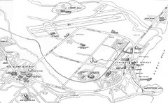
Legazpi City Area Map
City map of Legazpi, Phillipines area. Shows Legazpi Port district and Old Albay District
3720 miles away

Cocos Islands Map
3720 miles away
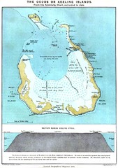
Cocos Islands Map
3720 miles away
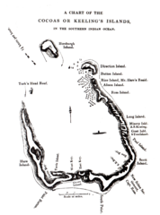
1840 Cocos (Keeling) Islands Map
1840 Guide to the Cocos (Keeling) Islands, a territory of Australia in the Indian Ocean
3721 miles away
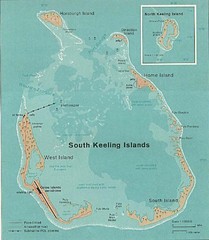
Cocos (Keeling) Islands Map
Guide to the Cocos (Keeling) Islands, a territory of Australia. They contain 2 atolls and 27 coral...
3721 miles away
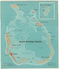
South Keeling (Cocos) Island Tourist Map
3721 miles away
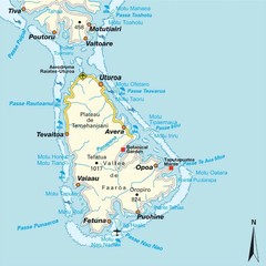
Raiatea (Hava'i) island Map
3725 miles away

Ames Range Topo Map
Topo relief map of the Ames range in western Marie Byrd Land, Antarctica. Shows Mt. Andrus 9,770...
3736 miles away
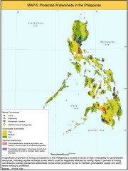
Protected Watersheds in the Philippines Map
Shows mining concessions, groundwater vulnerability, and watersheds in the Philippines. From site...
3740 miles away
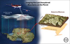
Gamburtsev Subglacial Mountains Map
First ever map of the last unexplored mountains on the planet, the Gamburtsev Subglacial Mountains...
3751 miles away

