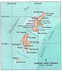
Saipan and Tinian Islands Tourist Map
3411 miles away
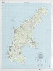
Island of Saipan Toopgraphic Map
3412 miles away
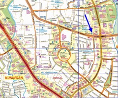
South of Jakarta Map
3413 miles away
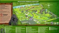
The Schmutzer Primate Center Map
Pusat Primata Schmutzer (Established 2002). Mission: To promote conservation of Indonesian primates...
3415 miles away
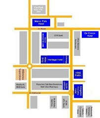
Tawau Hotel Map
3418 miles away
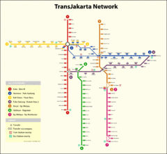
Jakarta Bus System Map
3418 miles away
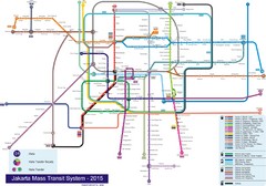
Jakarta Bus System Map
3418 miles away
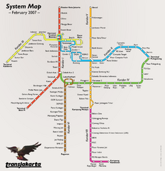
Jakarta Bus System Map
3418 miles away
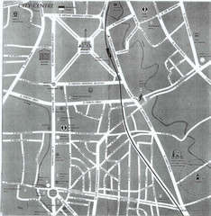
Jakarta City Center Map
Street map of city center
3418 miles away
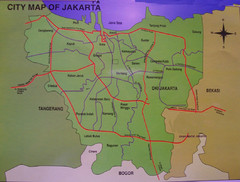
Jakarta City Map
City map of Jakarta, Indonesia. Shows major roads.
3420 miles away
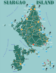
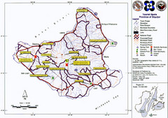
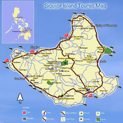
Siargao Island Diving Map
Diving map of Siargao Island and Bucas Grande Island. Shows diving spots and coral reefs.
3441 miles away

Surigao Tourist Map
Tourist map of Surigao City , Philippines. Shows hotels, other accommodations, and restaurants.
3459 miles away
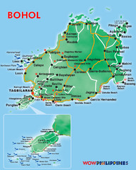
Bohol Island Tourist Map
3506 miles away

Northern Mariana Islands Map
Guide to the Northern Mariana Islands, a commonwealth of the United States
3525 miles away
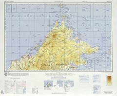
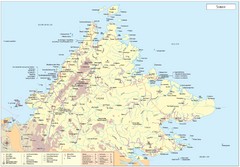
Sandakan Topo Map
Topo map of region of Sabah, Malaysia
3534 miles away
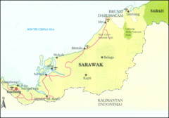
Sarawak Map
Map of Sarawak, a state on the island of Borneo.
3535 miles away
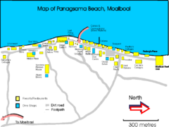
Moalboal Tourist Map
3538 miles away
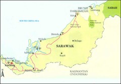
Sarawak Malaysia Map
3539 miles away
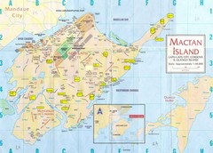
Mactan Island Tourist Map
3539 miles away
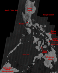
Phillippines Islands Map
3541 miles away
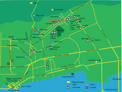
Cebu City Tourist Map
Tourist map of central Cebu City, Philippines. Shows sightseeing spots.
3543 miles away
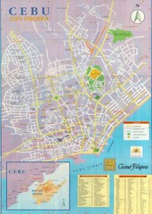
Cebu City Map
City map of Cebu with places of interest
3543 miles away
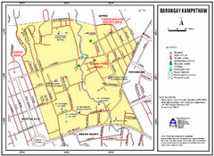
Kamputhaw Tourist Map
3544 miles away
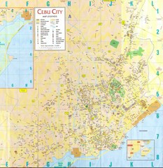
Cebu City Map
City map of Cebu City, Philippines area. Blurry but readable.
3545 miles away
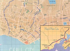
Cebu City Tourist Map
3545 miles away
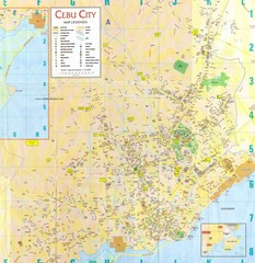
Cebu City Tourist Map
3545 miles away
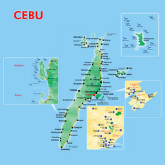
Cebu Tourist Map
3545 miles away
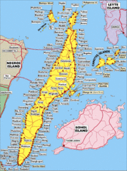
Cebu Island City Map
3545 miles away
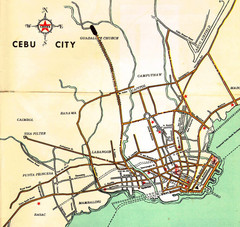
Cebu City Map
3545 miles away
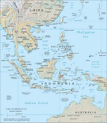
Southeast Asia Map
3550 miles away
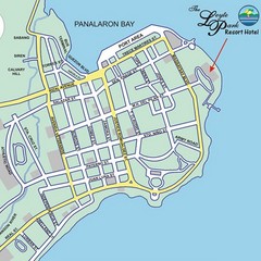
Tacloban CIty Map
This map clearly marks the road system of Tacloban.
3564 miles away
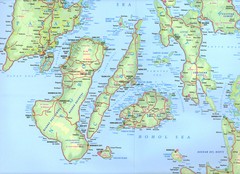
Visayas Islands Map
3570 miles away
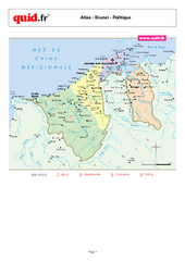
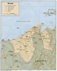
Brunei Regional Map
Map of country with detail of regional divides
3572 miles away
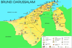
Brunei Darussalam Tourist Map
Tourist map of Brunei Darussalam. Shows points of interest
3572 miles away
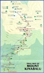
Mt Kinabalu Trail map
Trail map of route to summit of Mt. Kinabalu, the highest mountain in Malaysia at 4,101m. Please...
3574 miles away

Brunei Map
3574 miles away

