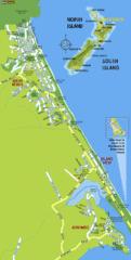
Waihi Beach Tourist Map
1408 miles away
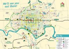
Palmerston North Cycling Guide Map
Cycling and Pedestrian Guide to Palmerston North
1414 miles away
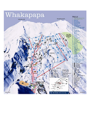
Whakapapa Ski Trail Map
Trail map from Whakapapa.
1417 miles away
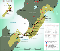
New Zealand Wine Trail Map
Map of Classic New Zealand Wine Trail
1425 miles away
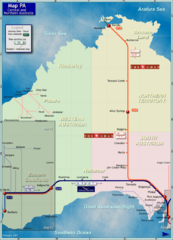
Central Australia Rail Map
Map of long-distance rail system throughout Central and Northern Australia
1447 miles away
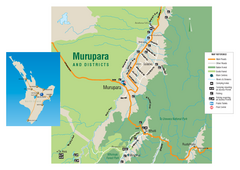
Murupara Map
Map of Murupara with detail of camping locations
1455 miles away
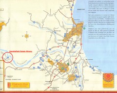
Hawkes Bay Wine Country Map
Tourist map of Hawkes Bay Wine Country near Hastings, New Zealand
1465 miles away
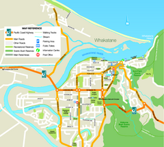
Whakatane Town Map
1467 miles away
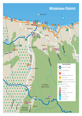
Whakatane District Map
Tourist map of Whakatane region
1469 miles away
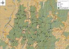
Northern Te Urewera National Park Map
Trail map of northern Te Urewera National Park. Shows trails, huts, and campsites.
1476 miles away
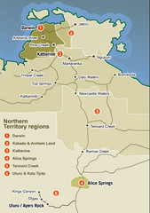
Northern Territory Map
Map of Northern Territory region wtih detail of districts
1493 miles away
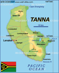
Tanna island Map
1496 miles away
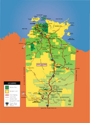
Northern Territory Map
Map of Northern Territory, Australia shows roads, national parks, and aboriginal lands.
1524 miles away

Efate island Map
1546 miles away
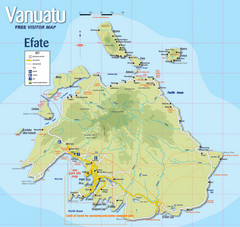
Vanuatu Tourist Map
Tourist guide to the island of Efate in Vanuatu
1548 miles away
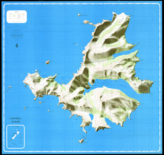
Campbell Island Map
1568 miles away

Vanuatu Map
1595 miles away
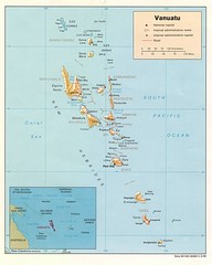
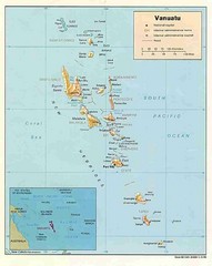
Vanuatu Islands Map
Map of Vanuatu region of islands
1609 miles away
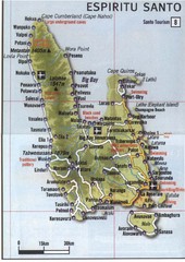
Espiritu Santo Island Map
Map of island
1623 miles away
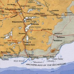
Esperance, Australia Tourist Map
A map of the Esperance region in Australia.
1677 miles away
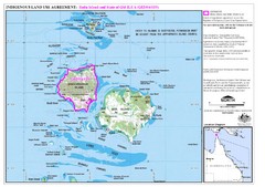
Badu Island Land Use Map
Land use agreement map on Badu Island in the Torres Strait.
1737 miles away
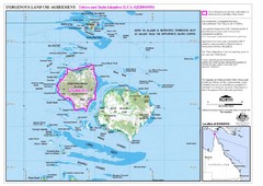
Badu Island and Moa Island Map
1738 miles away
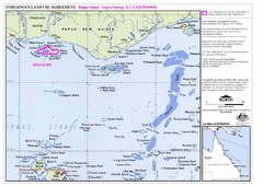
Torres Strait Land Use Map
Map of land use agreement for Boigu Island. Shows islands in the Torres Strait between Papua New...
1762 miles away
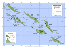
Soloman Islands Map
1769 miles away
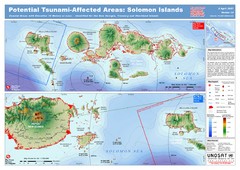
UNOSAT Solomon Islands Elevation Map
This map illustrates those areas 10 meters and less in elevation (marked in red) potentially...
1769 miles away
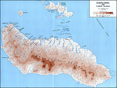
Guadalcanal Island Map
1774 miles away
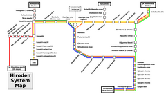
Hiroshima Train Map
Train lines in Hiroshima, English.
1781 miles away
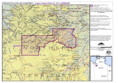
Gregory National Park and Northern Territory...
1787 miles away
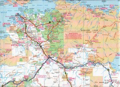
Katherine Region, Australia Map
1790 miles away
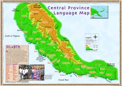
Central province language Map
1800 miles away
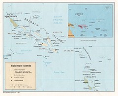
Solomon Islands Map
1809 miles away
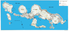
New Georgia Group War Map
Shows Allied landings 1943
1811 miles away
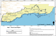
Australia South Coast Region Map
The South Coast region of Australia and proposed new boundaries by Natural Resources Management...
1812 miles away
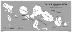
New Georgia Islands Map
1819 miles away
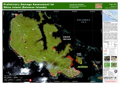
Ghizo Island Damage Map
Solomon Islands: Preliminary Damage Assessment for Ghizo Island (as of 8 Apr 2007)
1819 miles away
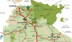
Katherine Australia Tourism Map
Partial map of the Northern Territory in Australia including Katherine, Darwin and Cape Crawford...
1835 miles away
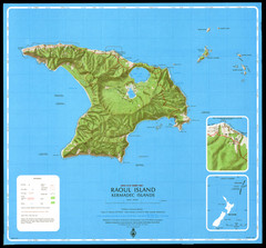
Raoul Island Map
Topographical map of Raoul Island in the Kermadec Islands, New Zealand
1841 miles away

