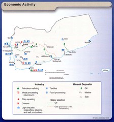
Yemen Economic Activity Map
Map of Yemen's economic activity
1774 miles away
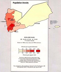
Yemen Population Density Map
Map of Yemen population density
1779 miles away
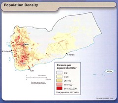
Yemen Population Map
Map of Yemen with detail of population distribution
1779 miles away
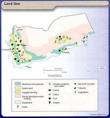
Yemen Land Use Map
Map of Yemen with detail of land use throughout the country
1779 miles away
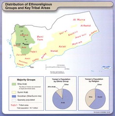
Yemen Enthoreligious Distribution Map
Map of Distribution of Ethnoreligious Groups and Key Tribal Areas
1779 miles away
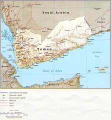
Yemen Country Map
1779 miles away
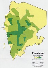
Yemem Population Map
Map marking distribution of population.
1779 miles away
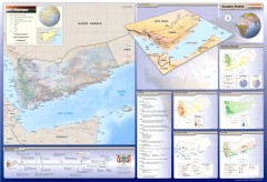
Yemen Wall Map
Wall map of the country of Yemen. Side maps and charts include Annual Rainfall, Economic Activity...
1779 miles away
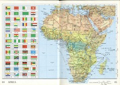
Africa Flag Map
Physical map of Africa with flag legend for all countries. Scanned.
1784 miles away
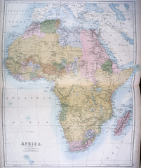
Africa Map 1885
Shows Africa with pre-colonial boundaries demarcated at the Berlin Conference of 1885.
1784 miles away
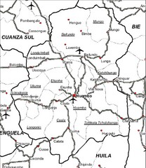
Huambo City Map
Simple road map marking streets and airports.
1787 miles away
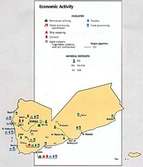
Yemen Economic Activity Map
Map of Yemen's economic activity
1788 miles away
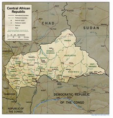
Central African Republic Map
Guide to Central African Republic
1791 miles away
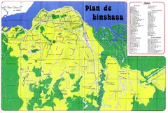
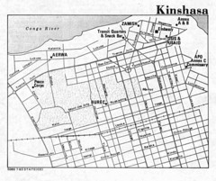
Kinshasa Overview Map
Overview map of Kinshasa, Democratic Republic of Congo shows major streets.
1803 miles away
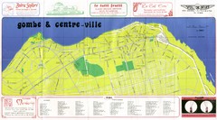
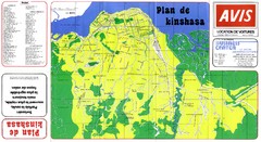
Kinshasa Gombe and Centreville Tourist Map
Tourist map of Gombe and Centreville in Kinshasa. Shows streets and points of interest. In French...
1805 miles away
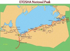
Etosha National Park Map
1807 miles away
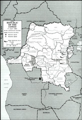
Republic of the Congo 1964 Military Map
Map of the military situation with a hostage crisis in 17 July 1964. Map shows rebel forces and...
1810 miles away
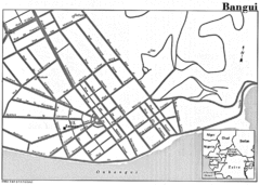
Bangui Road Map
Road map of Bangui city in the Central African Republic.
1813 miles away
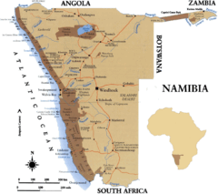
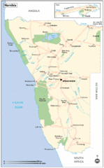
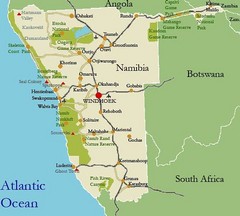
Namibia Map
1817 miles away
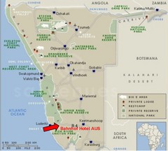
Namibia Hotel Map
1826 miles away
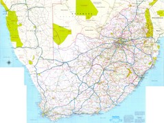
South Africa Road Map
Road map of South Africa
1828 miles away
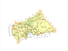
Central African Republic Map
1840 miles away
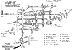
Windhoek Backpacker Map
Sketch map of capital city of Windhoek, Namibia for backpackers. Windhoek is situated in almost...
1847 miles away
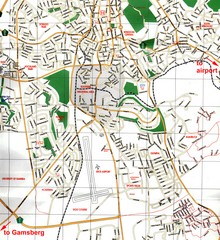
Windhoek Tourist Map
Map of Windhoek, Namibia
1847 miles away
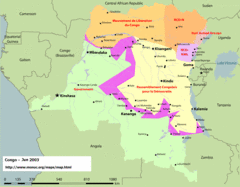
Congo Map
Cities, capitols, borders and more are clearly marked on this map.
1848 miles away
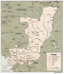
Congo 1986 Guide Map
1848 miles away
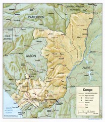
Congo Physical Relief Map
Physical relief map of the Republic of the Congo. Shows major roads and cities.
1848 miles away
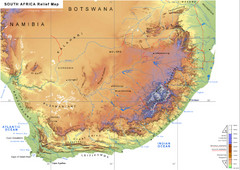
South Africa Physical Map
Physical map of South Africa
1850 miles away
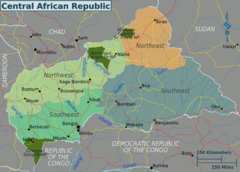
Central African Republic Regions Map
1864 miles away
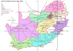
South Africa Political Map
A political map of South Africa with provinces, districts and their administrative centres.
1867 miles away
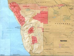
Namibia Homelands Map
Map of Namibia homelands as of 1978
1881 miles away
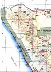
Northwestern Namibia Map
1885 miles away
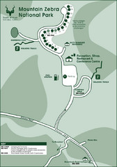
Mountain Zebra National Park Map
1887 miles away
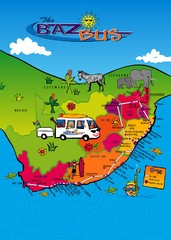
Baz Bus Map
Covering the entire East Coast of South Africa including: The Garden Route, Swaziland, Drakensberg...
1888 miles away
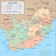
South Africa Tourist Map
1892 miles away

