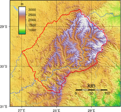
Lesotho topo Map
1636 miles away
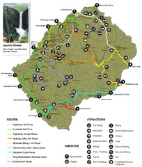
Lesotho tourism routes Map
1639 miles away
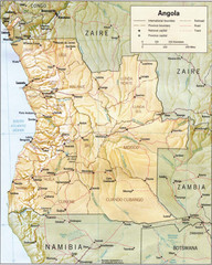
Angola relief Map
1646 miles away
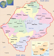
Lesotho Map
Cities, roads, provinces and borders are labeled on this map.
1646 miles away
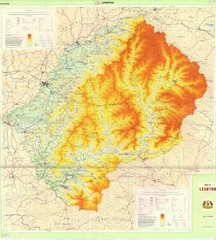
Lesotho Physical Map
Physical map of Lesotho. Shaded by elevation.
1646 miles away
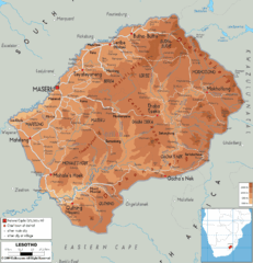
Lesotho physical Map
1647 miles away
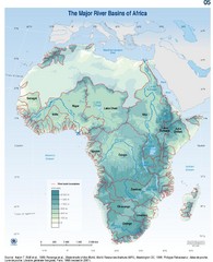
Africa River Basin Map
Guide to the major river basins of Africa
1648 miles away
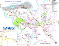
Maseru City Map
Map and legend of this Lesotho Capitol.
1654 miles away
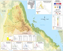
Eritrea Physical Map
1657 miles away

Rodrigues Island with Cap Soleil Agency Map
1660 miles away
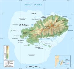
Rodrigues Island Topo Map
Island topographic map of Rodrigues Island. In French.
1661 miles away
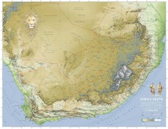
Africa South Full Map
A new relief map of Africa South showing some roads and towns and with boundaries natural replacing...
1664 miles away
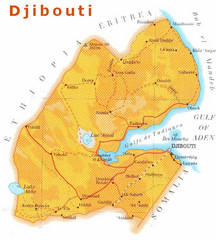
Djibouti, Africa Map
1665 miles away
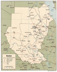
Sudan Map
Railroads, tracks, cities and borders are are marked on this clear map and legend.
1667 miles away

Yemen Map
1670 miles away
Economic Commission for Africa Map
Map of Economic Commission for Africa with detail of member-countries
1674 miles away
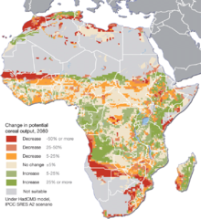
Projected climate change impacts for agriculture...
Africa is one of the regions that will be hit the hardest by climate change, and it will likely...
1680 miles away
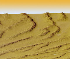
Digital Elevation Model Ataq, Yemen Map
Digital Elevation Model Ataq, Yemen Map
1682 miles away
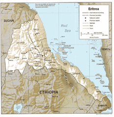
Eritrea in 1987 Map
1682 miles away
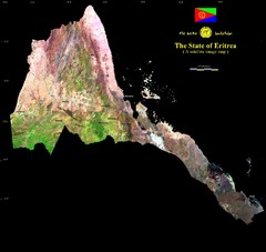
Eritrea Satellite Image Map
Eritrea photographed from space
1682 miles away
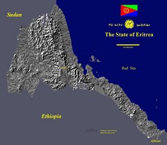
State of Eritrea Drainage and Elevation Map
Eritrea elevation map with drainage lines shown
1682 miles away
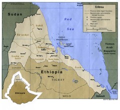
Eritrea Map
1684 miles away
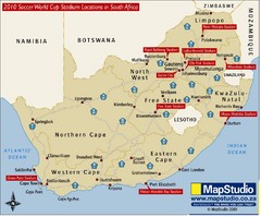
2010 Soccer World Cup Stadiums Location in South...
Host cities location with main road routes.
1689 miles away
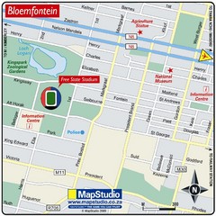
Free State Stadium, Bloemfontein, South Africa Map
Location Map of Free State Stadium, Bloemfontein, Free State Province, South Africa. Venue for 2010...
1689 miles away
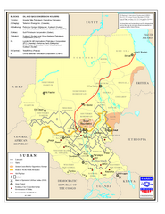
Sudan Oil and Gas Map
Map of Sudan's oil and gas concession holders
1694 miles away
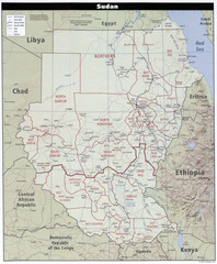
Sudan Map
Clear map of this amazing African nation.
1694 miles away
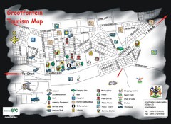
Grootfontein Tourist Map
Tourist map of Grootfontein, Namibia. Shows points of interest.
1702 miles away
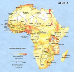
Africa Population Map
Map of population densities throughout Africa
1702 miles away
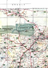
Northern Central Namibia Map
1703 miles away
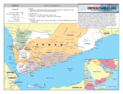
Al Qaeda Map in Yemen
1705 miles away
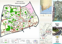
Sana'a Old Town Map
Tourist map of Old Town Sana'a
1705 miles away

Tiffindell Ski Trail Map
Trail map from Tiffindell.
1717 miles away
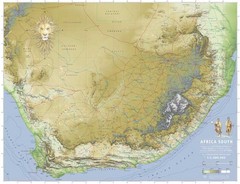
Africa South Map
A relief map of South Africa et ses environs
1722 miles away
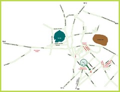
Kimberley Tourist Map
Simplified tourist map of Kimberley, South Africa. Shows major landmarks.
1725 miles away

Eastern Central Namibia Map
1742 miles away
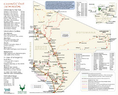
Kgalagadi Transfrontier Park Map
1748 miles away
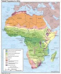
Africa Natural Vegetation Map
Map of natural vegetation throughout Africa
1756 miles away
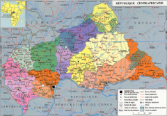
Central African Republic Map
1762 miles away
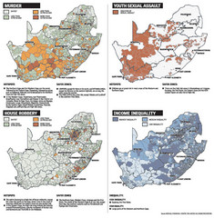
South Africa Crime Map
Maps displaying murder rates, youth sexual assualt, house robbery, and income inequality in South...
1766 miles away

