Early East and Central Africa Map - Slug Map
Sketch of a Map from 1 & deg;N. to 15 & deg;S. Latitude and from 23 & deg; to 43 &...
0 miles away
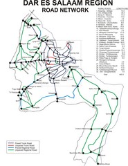
Dar Es Salaam Road Map
Map of road network in Dar Es Salaam, Tanzania
203 miles away
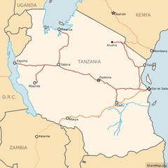
Railways in Tanzania Map
Railway network of Tanzania Map licensed on Creative Commons Share Alike License 3.0 You can...
203 miles away
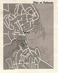
Dar es Salaam, Tanzania Tourist Map
203 miles away
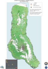
Grand Comore Island Volcanic Eruption Map
Karthala volcanic eruption post disaster map on Grand Comore Island, 8/12/2005
230 miles away

Grand Comore Island Topography Map
234 miles away
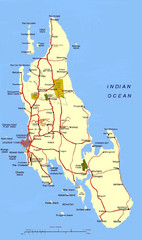
Zanzibar Tourist Map
238 miles away
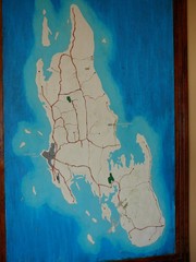
Zanzibar Island Map
Island map of Zanzibar, Tanzania From photo Oct 3 2007
238 miles away
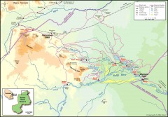
Seleous Game reserve, northern portion Map
Shows the northern part of the Seleous Game reserve in Tanzania around the Rufiji River and Beho...
242 miles away
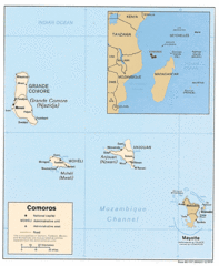
Mayotte Regional Map
Guide to the area around Mayotte
298 miles away

Comoros Islands Map
303 miles away
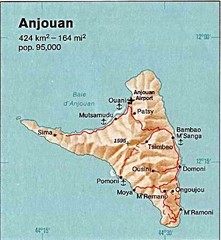
Anjouan Island topography Map
313 miles away
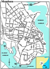
Mombasa City Map
Simple and clear map of this Kenyan city.
362 miles away
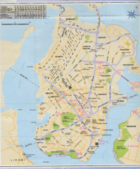
Mombasa City Map
364 miles away
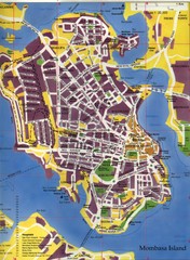
Mombasa City Map
City street map of Mombasa Island, Kenya
364 miles away

Mayotte tourism Map
372 miles away
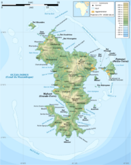
Mayotte Topographic Map
Guide to the island nation of Mayotte
375 miles away
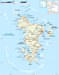
Mayotte Map
Guide to the country of Mayotte, an overseas collectivity of France
376 miles away
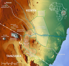
Tsavo National Park Map
458 miles away
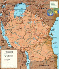
Tanzania Map
468 miles away

Lake Malawi Map
471 miles away
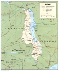
Malawi Map
Guide to Malawi, a country in Africa
480 miles away
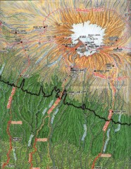
Kilimanjaro Climbing Route Map
Hand-drawn map shows major climbing routes on the southern side of Mt. Kilimanjaro, Tanzania...
489 miles away
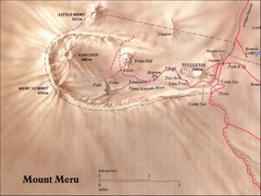
Mount Meru Physical Map
500 miles away
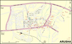
Arusha Town Map
Town map with lodging locations identified
501 miles away
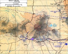
Mount Meru Topographic Map
Topographic map of Mount Meru in Nothern Tanzania
504 miles away
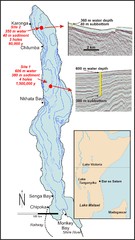
Lake Malawi Bathemetric Map
513 miles away
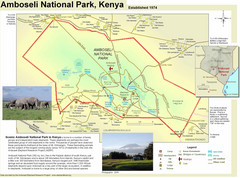
Amboseli National Park Map
Park map of Amboseli National Park, Kenya, home of elephants.
521 miles away
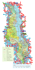
Malawi Overview Map
Overview of country of Malawi on Lake Malawi. Shows roads and rivers.
521 miles away
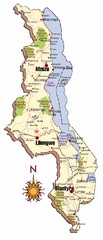
Malawi Map
545 miles away
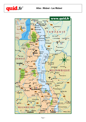
Lake Malawi Map
Map of Lake Malawi and surrounding region
568 miles away
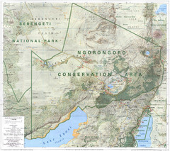
Ngorongoro Conservation Area Map
577 miles away
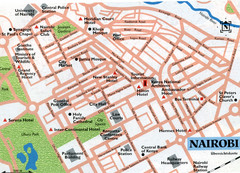
Nairobi City Map
Close up map marking roads and parks in downtown Nairobi.
617 miles away
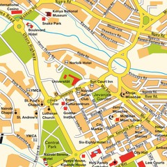
Niarobi City Map
618 miles away
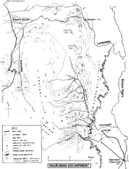
Nguruman Mountain Map
618 miles away
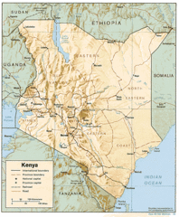
Kenya Tourist Map
666 miles away
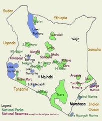
Kenya Tourist Map
666 miles away
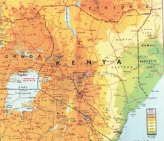
Kenya Map
Physical map of Kenya. Shading based on elevation.
666 miles away

