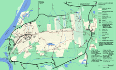
Staten Island Subway/Railway Map
72 miles away
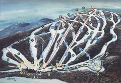
Brodie Ski Trail Map
Trail map from Brodie.
72 miles away
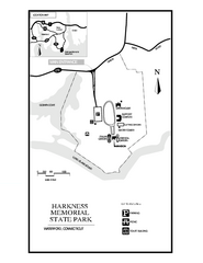
Harkness Memorial State Park map
Trail map of Harkness Memorial State Park in Connecticut.
72 miles away
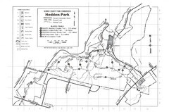
Hedden Park Map
Hedden County Park Trail Map
72 miles away
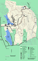
DAR State Forest summer map
Summer use map of the Daughters of the American Revolution state forest.
72 miles away
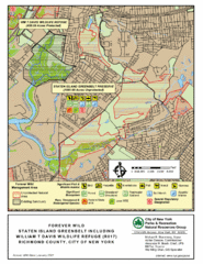
Staten Island Greenbelt Map
72 miles away
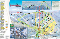
Jiminy Peak Resort Ski Trail Map
Trail map from Jiminy Peak Resort.
73 miles away
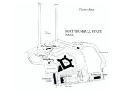
Fort Trumbull State Park map
Map of Fort Trumbull State Park in Connecticut.
73 miles away
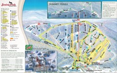
Jiminy Peak Ski Trail Map
Official ski trail map of Jiminy Peak ski area from the 2007-2008 season.
73 miles away
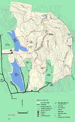
DAR State Forest winter map
Winter use map of the Daughters of the American Revolution State Forest.
73 miles away
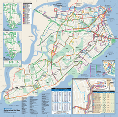
Staten Island Bus Map
Official Bus Map of Staten Island. Shows all routes.
73 miles away
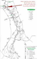
Loantaka Park Map
73 miles away
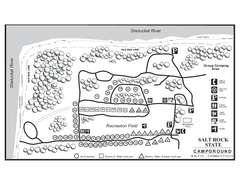
Salt Rock State Park campground map
Campground Map of Salt Rock State Campground in Connecticut.
73 miles away
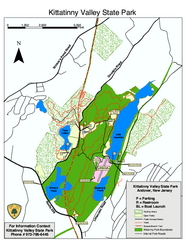
Kittatinny Valley State Park trail map
Trail map of Kittatinny Valley State Park in New Jersey. Shows hunting areas and trails.
74 miles away
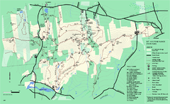
Mount Holyoke Range State Park Map
Trail map of Holyoke Range State Park.
74 miles away

Palmer Motorsports Park Map
Track Map for Proposed Palmer Motorsports Park
75 miles away

Lewis Morris Park Trail Map
75 miles away
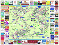
North County Berkshires map
Tourist map of North County - Pittsfield, N. Adams, Adams, Lanesboro, Cheshire, Williamstown...
76 miles away
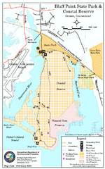
Bluff Point State Park map
Trail map for Bluff Point State Park and Coastal Reserve.
76 miles away
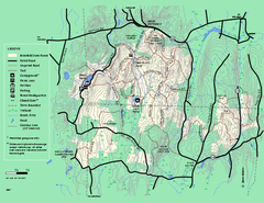
Brimfield State Forest trail map
Trail map of Brimfield State Forest in Massachusetts
77 miles away
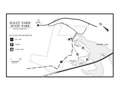
Haley Farm State Park map
Trail map of Haley Farm State Park in Connecticut.
77 miles away
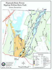
Bigelow Hollow State Park trail map
Trail map of Bigelow Hollow State Park in Connecticut.
77 miles away
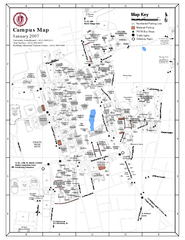
University of Massachusetts - Amherst Map
Campus Map of the University of Massachusetts - Amherst. All buildings shown.
77 miles away
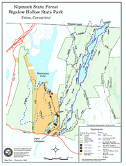
Nipmuck State Forest trail map
Trail map of Nipmuck State Forest and Bigelow Hollow State Park in Connecticut.
77 miles away
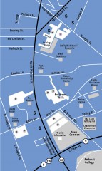
Downtown Amherst, Massachusetts Map
Tourist map of downtown Amherst, Massachusetts, showing attractions, government buildings, atms...
78 miles away
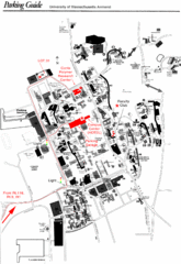
University of Massachusetts Amherst Parking Map
Map of the University of Massachusetts. Includes all buildings, streets, and parking information.
78 miles away
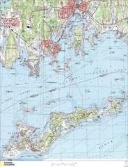
Fishers Island Map
In Long Island Sound
78 miles away

Eastern Long Island Placemat map
Photo of a placemat map from Gosman's Dock Restaurant in Montauk, NY. Shows eastern Long...
79 miles away
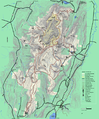
Mt. Greylock State Reservation winter trail map
Winter use trail map of Mt. Greylock State Park in Massachusetts.
80 miles away
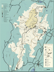
Mt. Greylock State Reservation map
Official summer map of the Mount Greylock State Reservation. At 3,491 feet, Mount Greylock is the...
80 miles away
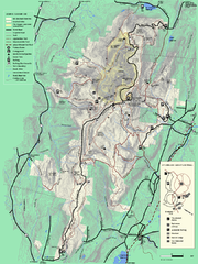
Mt. Greylock State Reservation summer trail map
Summer trail map of the Mt. Greylock State Park area in Massachusetts.
80 miles away
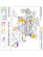
University at Albany Map
Campus Map of the University at Albany. All buildings shown.
80 miles away
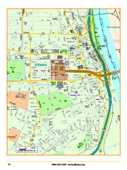
Albany downtown map
Road map of downtown Albany, NY. Shows city parks and New York State government buildings.
80 miles away
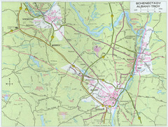
Albany, New York City Map
80 miles away
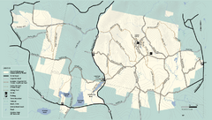
Kenneth Dubuque Memorial State Park trail map
Trail map of the Kenneth Dubuque state park conservation area in Massachusetts.
80 miles away
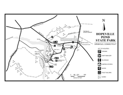
Hopeville Pond State Park trail map
Trail map for Hopevill Pond State Park in Connecticut
80 miles away
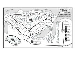
Hopeville Pond campground map
Campground map of Hopeville Pond State Park in Connecticut.
81 miles away
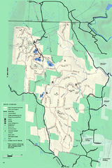
Savoy Mountain winter map
Winter use map of Savoy Mountain in Massachusetts.
81 miles away
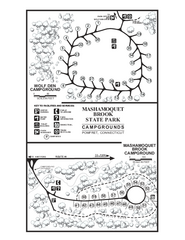
Mashamoquet Brook State Park campground map
Campground map of Mashamoquet Brook State Park in Connecticut.
81 miles away

