
Prospect Park Map
Overview map of Prospect Park, a 585-acre city park located in the heart of Brooklyn. Designed by...
64 miles away
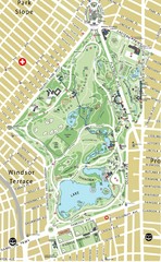
Prospect Park Map
64 miles away
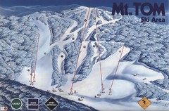
Mount Tom Ski Trail Map
Trail map from Mount Tom, which provides downhill skiing. This ski area opened in 1962.
64 miles away
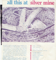
Silver Mine Credit to chris lundquist Ski Trail...
Trail map from Silver Mine, which provides downhill skiing.
64 miles away
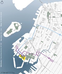
IKEA Brooklyn Map
Location map and map of bus routes and access streets to IKEA in Brooklyn, NY.
64 miles away
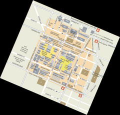
Rutgers University Map
64 miles away
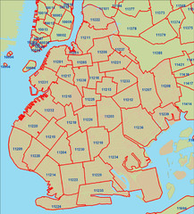
Brooklyn zip codes Map
64 miles away
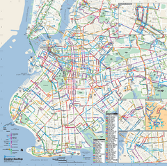
Brooklyn, New York Bus Map
Official MTA Bus Map of Brooklyn, New York. Shows all routes.
64 miles away
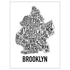
Brooklyn Neighborhood Art Map
Artistic neighborhood map of Brooklyn
65 miles away
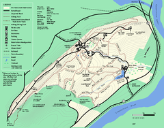
Mt. Tom State Reservation trail map
Trail map of Mt. Tom State Reservation
65 miles away
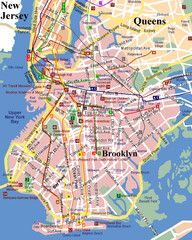
Brooklyn, Attractions Map
65 miles away

NYC Biking Route Map (Part of Queens, Brookyln...
Official biking route map of part of Queens, Brookyln and Staten Island
65 miles away
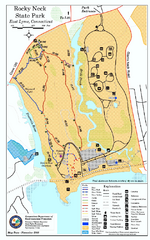
Rocky Neck State Park trail map
Trail map of Rocky Neck State Park in Connecticut.
65 miles away
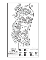
Rocky Neck State Park campground map
Campground map of Rocky Neck State Park in Connecticut.
66 miles away
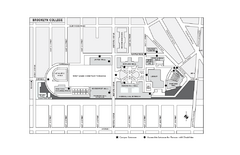
Brooklyn College Campus Map
Brooklyn College Campus Map. All buildings shown.
66 miles away
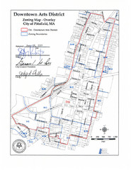
Pittsfield,, Massachusetts City Map
66 miles away
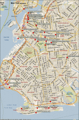
Brooklyn Attractions map
Map of attractions and points of interest in Brooklyn, New York.
66 miles away
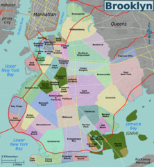
Brooklyn, Neighborhoods Map
66 miles away
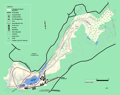
Chicopee State Park trail map
Chicopee State Park trail map
67 miles away
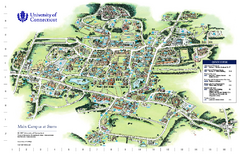
University of Connecticut - Storrs Campus Map
University of Connecticut - Storrs Campus Map. All areas shown.
67 miles away
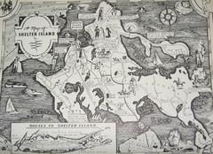
Shelter Island Map
Old Shelter Island map circa 1930s
67 miles away
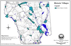
Historic Villages of Mansfield, Connecticut Map
Historical villages outlined on the map of the existing city.
67 miles away
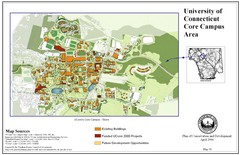
University of Connecticut Campus Map
Map shows current, funded projects and future development for UConn.
67 miles away
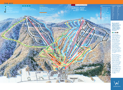
Windham Mountain Ski Trail Map
Trail map from Windham Mountain.
67 miles away
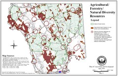
Mansfield Conservation and Development Map
Guide to Agricultural, Forestry and Natural Diversity Resources
67 miles away
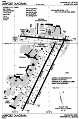
Newark Liberty International Airport Map
68 miles away
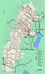
Pittsfield State Forest winter trail map
Winter use trail map of Pittsfield State Forest in Massachusetts.
68 miles away
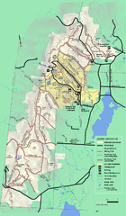
Pittsfield State Forest summer trail map
Summer use trail map of Pittsfield State Forest in Massachusetts.
68 miles away
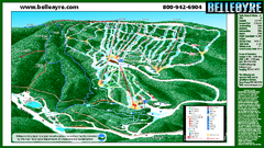
Belleayre Mountain Ski Trail Map
Trail map from Belleayre Mountain.
68 miles away

Mansfield Cemetery Map
68 miles away
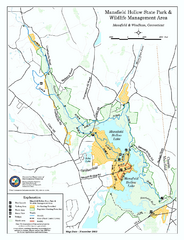
Mansfield Hollow State Park map
Map for Mansfield Hollow State Park and Wildlife Management Area in Connecticut.
69 miles away
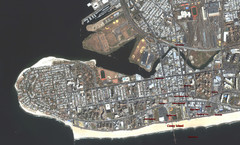
Coney Island Map
Aerial photo Coney Island map
70 miles away
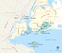
Gateway National Recreation Area Map
Park map of lands in the NPS Gateway National Recreation Area in New York and New Jersey. Shows...
70 miles away
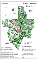
2002 Windham Region Land Use Map
Regional Land Use Guide Map for Planning Purposes
70 miles away
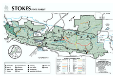
Stokes State Forest map
Trail map of Stokes State Park in New Jersey.
71 miles away
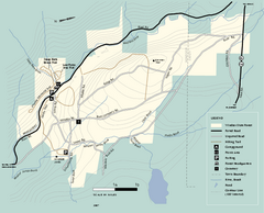
Windsor State Forest trail map
Trail map of Windsor State Forest in Massachusetts.
71 miles away
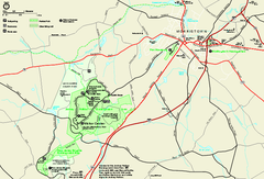
Morristown National Historical Park Official Map
Official NPS map of Morristown National Historical Park in New Jersey. Shows all areas. Tours...
72 miles away
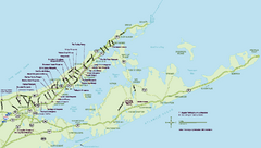
Long Island Wineries Map
Map of LIWC member wineries offering wine tastings to the public.
72 miles away

Downtown Morriston Map
72 miles away


