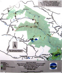
Northern Catskill Trail Map
Trail map shows hiking trails in the northern Catskills of New York. Shows trails in Windham High...
61 miles away
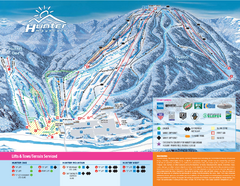
Hunter Mountain Ski Bowl Ski Trail Map
Trail map from Hunter Mountain Ski Bowl.
61 miles away
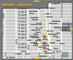
Broadway Theatre New York City Map
62 miles away

Manhattan Bus Map
62 miles away
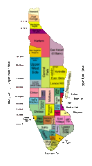
New York Neighborhoods Map
62 miles away
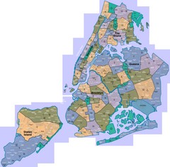
New York: A City of Neighborhoods Map
This is a map of NYC's Community Districts and neighborhoods. This map is pasted together from...
62 miles away

Sanitary & Topographical Map of the City and...
The 1865 Viele Map of Manhattan is still used today to locate springs and streams that have long...
62 miles away
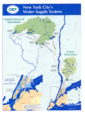
New York City's Water Supply System Map
Map of the reservoirs, aqueducts, and tunnels that supply water to NYC.
62 miles away
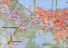
New Orleans Tourist Map
62 miles away
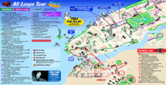
New York City Bus Tour Map
62 miles away
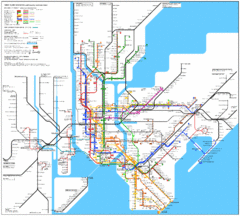
New York City Subway Map
62 miles away
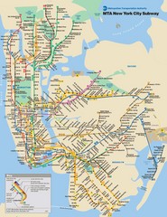
New York City Public Transportation Map
62 miles away
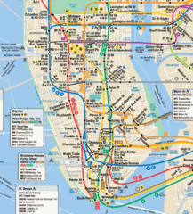
New York City Subway Map
62 miles away
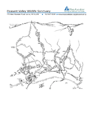
Pleasant Valley Wildlife Sanctuary Trail Map
Trail map of Pleasant Valley Wildlife Sanctuary
62 miles away

Battery Park City Map
62 miles away
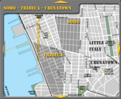
Chinatown New York City Tourist Map
62 miles away

Downtown Manhattan Tourist Map
Detailed tourist map of Downtown Manhattan showing points of interest and modes of transportation
62 miles away
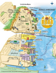
Jersey City, New Jersey City Map
Sketch of Jersey City and Hoboken, New Jersey
62 miles away
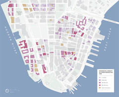
Lower Manhattan Map
62 miles away
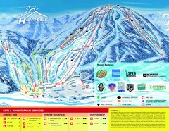
Hunter Mountain Trail Map
62 miles away
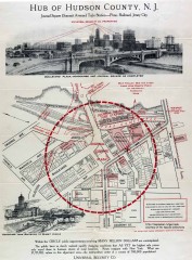
Antique map of Jersey City from 1925
Antique map of Jersey City, New Jersey from 1925.
62 miles away
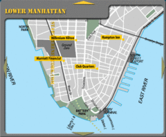
Lower Manhattan New York City Hotel Map
62 miles away
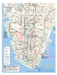
Lower Manhattan Public Transportation Map
Official MTA map of subway, bus, and ferry routes in Lower Manhattan.
62 miles away
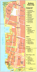
Battery Park City Map
City map of Battery Park City, an area of Manhattan, with art highlighted
62 miles away
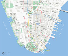
Lower Manhattan Map
62 miles away
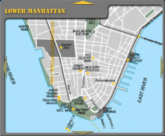
Lowe Manhattan New York City Tourist Map
62 miles away

Map of Fire Island National Seashore
Official Map of Fire Island National Seashore in New York. Shows all towns and information.
62 miles away
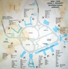
John F. Kennedy International Airport Map
Terminal and Road map of John F. Kennedy International Airport.
62 miles away
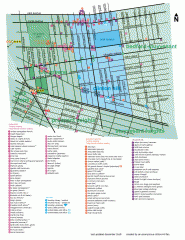
Clinton Hill Neighborhood map
Business and transportation map of the Clinton Hill neighborhood in Brooklyn, New York.
62 miles away
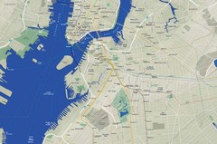
Brooklyn Map
62 miles away
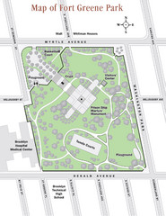
Fort Greene Park Map
Overview map of Fort Greene Park. Shows the park's historic structures and recreational...
62 miles away
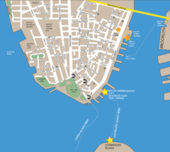
Lower Manhattan Area Map
63 miles away
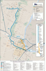
Newark Light Rail system Map
Newark Light rail system
63 miles away
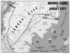
Jersey City Map
63 miles away
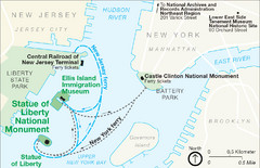
Statue of Liberty National Monument Map
Official NPS map of Statue of Liberty National Monument. Shows Statue of Liberty, Ellis Island, and...
63 miles away
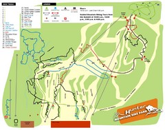
Hunter Mountain Bike Park Map
Map of bike trails in park
63 miles away
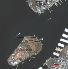
Governor's Island Map
Aerial photo view map of Governor's Island, New York
63 miles away
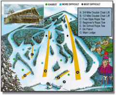
Bousquet Ski Area Ski Trail Map
Trail map from Bousquet Ski Area.
64 miles away
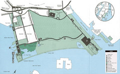
Liberty State Park Map
Map of Liberty State Park, New Jersey on the New York Harbor and next to Ellis Island. Shows...
64 miles away
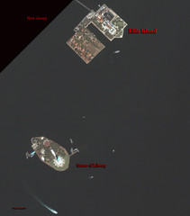
Ellis Island and Statue of Liberty Map
Aerial map of Ellis Island and the Statue of Liberty
64 miles away

