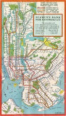
New York Subway Map, 1930
A New York City subway map from the 1930s
59 miles away
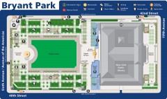
Map of Bryant Park
Map of Bryant Park in New York City
59 miles away
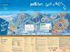
Mountain Creek Ski Trail Map
Official ski trail map of Mountain Creek ski area from the 2007-2008 season. (formerly Vernon...
59 miles away
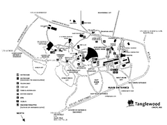
Tanglewood Map
Detailed map of the Tanglewood grounds that includes the location of the Box Office, Friends Office...
59 miles away
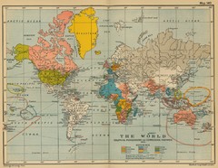
Colonial Posessions and Commercial Highways 1910...
Historical world map (1910) of various colonization and highway expansion
59 miles away
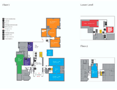
The Morgan Library Floor Plan, New York Map
The Morgan Library Floor Plan. Shows all floors and exhibits. Located at Madison Avenue and 36th...
59 miles away
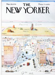
A View of the World from 9th Avenue (Map)
Famous Saul Steinberg New Yorker Magazine cover from 1976 depicts a New Yorker's egocentric...
59 miles away
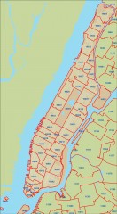
New York City zipcode map
Map of zipcodes in Manhattan and the outer boroughs of New York City.
59 miles away
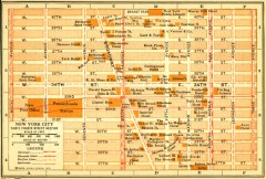
Antique map of Manhattan from 1916
"Thirty Fourth Street Section" from Rider's New York City, Henry Holt and Company...
59 miles away
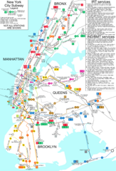
New York City Subway Map
Map of NYC subway transit system and stops
59 miles away
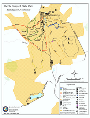
Devils Hophard State Park map
Trail and camprground map for Devils Hopyard State Park in Connecticut.
59 miles away
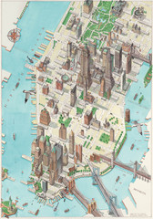
Manhattan New York Map
Aerial map of New York illustrated by UK illustrator Katherine Baxter.
59 miles away
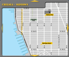
Chelsea Midtown New York City Hotel Map
59 miles away

Manhattan Neighborhood map
Excellent New York City neighborhood map created by graphic designer Alexander Cheek
59 miles away
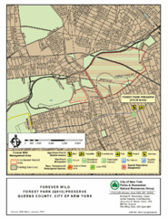
Forest Park Preserve Map
Map of Forest Park Preserve, Queens County, City of New York. 538 acres of trees and fields
59 miles away
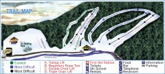
Holiday Mountain Ski Trail Map
Official ski trail map of Holiday Mountain ski area
59 miles away
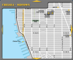
Chelsea Midtown New York City Map
59 miles away
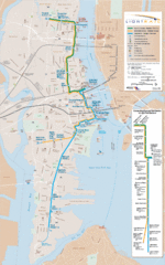
Hudson-Bergen Lightrail Map
Alternative transportation within the city.
59 miles away
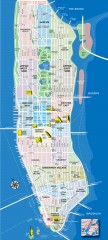
Manhattan Tourist Map
Tourist map of Manhattan, showing Museums, buildings of interest, and various neighborhoods.
59 miles away
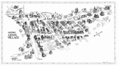
Lenox Village Map
Hand-drawn village map of historic center of Lenox, Massachusetts
59 miles away
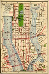
Antique map of Manhattan from 1916
"New York City Battery to 110th Street" from Rider's New York City, Henry Holt and...
60 miles away
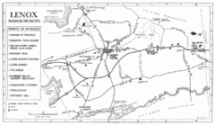
Lenox Town Map
Hand-drawn town map of Lenox, Mass. Bordered by Lenox Mountain and October Mountain. Shows points...
60 miles away
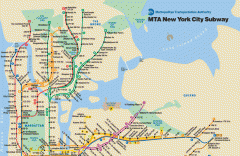
New York City Subway Map
Official MTA map of the NYC subway system... note not drawn to scale.
60 miles away
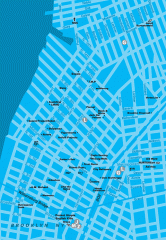
Williamsburg Art Gallery map
Map of Williamsburg and Greenpoint art galleries in Brooklyn, New York. Shows subway stops as well.
60 miles away
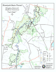
Trail map of Shenipsit State Forest
Trail map of Shenipsit State Forest in Connecticut.
60 miles away
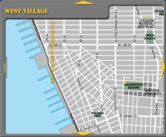
West Village New York City Tourist Map
60 miles away
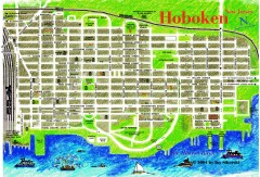
Hoboken Walking Tour map
Walking tour map of Hoboken, NJ. Shows points of interest.
60 miles away
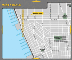
West Village New York City Hotel Map
60 miles away
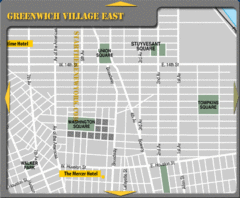
Greenhich Village New York City Hotel Map
60 miles away
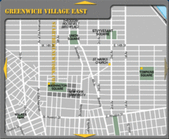
East Greenwich Village New York City Tourist Map
60 miles away
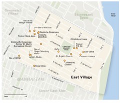
East Village walking tour map
Walking tour of the East Village in New York City, showing points of interest.
60 miles away
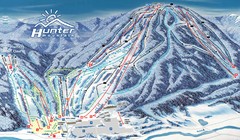
Hunter Mountain Trail Map
Ski trail map
60 miles away
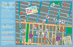
Deli Magazine's Lower East Side Music venues...
61 miles away
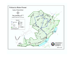
Nehantic State Forest map
Trail map of Nehantic State Forest in Connecticut.
61 miles away
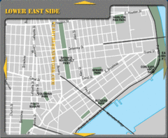
Lower Eastside New York City Hotel Map
61 miles away
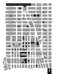
New York University Map
Campus map of New York University. All buildings included.
61 miles away
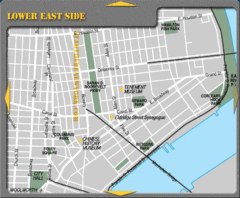
Lower Eastside New York City Tourist Map
61 miles away
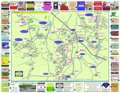
Columbia County - Austerlitz, Canaan, Chatham...
Tourist map of Columbia County including towns of Austerlitz, Canaan, Chatham, East Chatham Ghent...
61 miles away
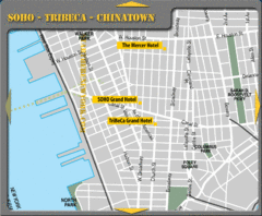
Chinatown New York City Hotel Map
61 miles away
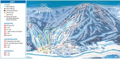
Hunter Mountain ski trail map
Official ski trail map of Hunter Mountain ski area from the 2006-2007 season.
61 miles away

