
Guilford Bus Services Map
44 miles away
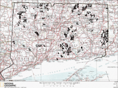
Connecticut State Forests Map
This is a map of all of the state forest boundaries in Connecticut. Follow the source web address...
44 miles away
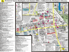
Huntington, New York Restaurant Map
45 miles away
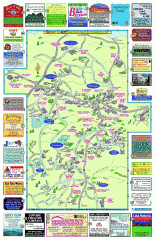
Columbia County - Boston Corners, Copake, Copake...
Tourist map of Columbia County, Mass. Includes towns of Boston Corners, Copake, Copake Falls...
45 miles away

Wadsworth Athenium Museum Location Map
Wadsworth Athenium visitor location map with locations of major buildings, streets, parks, and...
45 miles away
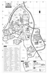
Stony Brook University Map
45 miles away
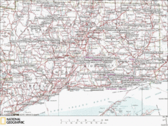
Connecticut Canoeing and Kayaking Lakes Map
A map of the lakes and ponds that are open for canoeing and kayaking in Connecticut. For detailed...
45 miles away
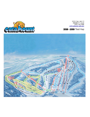
Catamount Ski Area Ski Trail Map
Trail map from Catamount Ski Area.
45 miles away
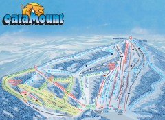
Catamount Ski Trail Map
Official ski trail map of Catamount ski area from the 2006-2007 season.
45 miles away
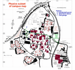
University of New York at Stony Brook Campus Map
46 miles away
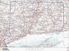
Connecticut State Parks Map
This is statewide map for Connecticut state parks. Go to the source website for detailed hiking...
46 miles away
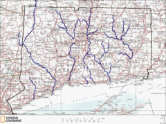
Connecticut Rivers and Coastal Paddling Map
This is a map of paddling areas for rivers and coastal kayaking. Follow the link below for...
46 miles away
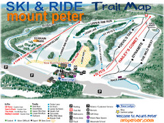
Mt. Peter Ski Area Ski Trail Map
Trail map from Mt. Peter Ski Area.
46 miles away
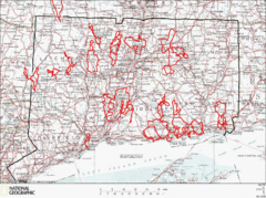
Connecticut Road Cycling Routes Map
A map of road cycling routes throughout Connecticut. Follow the link below for detailed route maps...
46 miles away
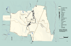
Granville State Forest trail map
Trail map of Granville State Forest in Massachusetts
47 miles away
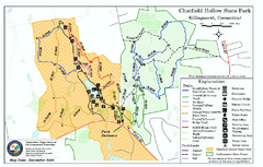
Chatfield Hollow State Park map
Trail map of Chatfield Hollow State Park
47 miles away
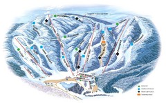
Butternut Ski Area Ski Trail Map
Trail map from Butternut Ski Area.
47 miles away
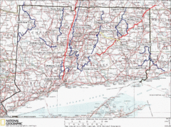
Connecticut Long Distance Trails Map
A map of long distance trails throughout Connecticut. Go to the website below for detailed trail...
47 miles away
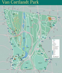
Van Cortlandt Park Trail Map
Trail map of Van Cortlandt Park in the Bronx. Covers 573 acres.
47 miles away
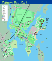
Pelham Bay Park NYC Map
Official detailed map of Pelham bay park, the largest park in New York City at 2,700 acres. Map...
48 miles away
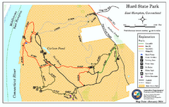
Hurd State Park trail map
Trail map for Hurd State Park in Connecticut.
48 miles away

City Island Street Map
Street map of City Island, New York
49 miles away

Cockaponset State Forest North Section trail map
Trail map for the north section of Cockaponset State Forest in Connecticut
49 miles away
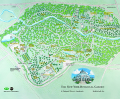
The New York Botanical Garden Map
Official Map of The New York Botanical Garden in New York. Shows all areas and different gardens.
49 miles away

Urban Neighborhood Map: Long Island Map
This Urban Neighborhood Poster of Long Island is a modern twist on traditional maps. The typography...
49 miles away
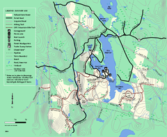
Tolland State Forest summer trail map
Summer use map for Tolland State Forest in Massachusetts.
50 miles away
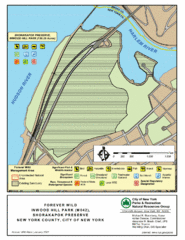
Inwood Hill Park Map
Park map of Inwood Hill Park in the Shorakapok Preserve, New York. 136 acres.
50 miles away
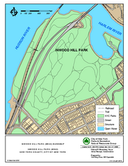
Inwood Hill Park Trail Map
Trail map of Inwood Hill Park located at the extreme northern tip of Manhattan. 136 acres.
50 miles away
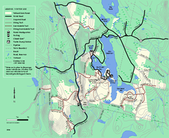
Tolland State Forest winter trail map
Winter usage trail map of the Tolland State Forest area in Massachusetts.
50 miles away
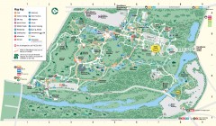
Bronx Zoo Map
Bronx Zoo. The Zoo is open 365 days a year. "Now through November 4, 2007, our hours are 10...
50 miles away
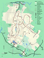
Beartown State Park Winter Map
Winter use map of Beartown State Park in Massachusetts
50 miles away

Cockaponset State Forest South Section trail map
Trail map for the South Section of Cockaponset State Forest in Connecticut.
50 miles away
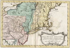
1773 New England Map
French map of New England
50 miles away
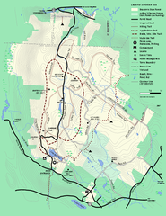
Beartown State Park Summer Map
Summer Map of Beartown State Park in Massachusetts.
51 miles away
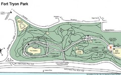
Fort Tyron Park Map
51 miles away

Hammonasset Beach State Park campground map
Campground map of Hammonasset State Park in Connecticut.
51 miles away
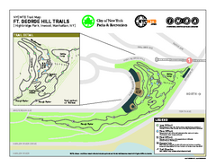
Highbridge Park mountain bike trail map
Mountain biking trail network opened in May 2007. Only mountain biking trails in Manhattan. 25...
51 miles away

Hammonasset Beach State Park map
Trail map for Hammonasset Beach State Park in Connecticut.
51 miles away
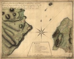
Oyster Bay and Huntington, Huntington Bay Map
A plan of the Narrows of Hells-gate in the East River, near which batteries of cannon and mortars...
52 miles away
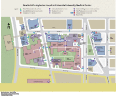
Columbia University Medical Center Map
52 miles away

