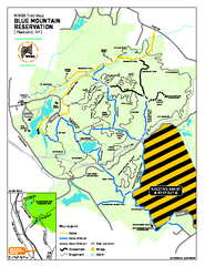
Blue Mountain Reservation Mountain Bike Trail Map
Mountain biking map of the Blue Mountain Reservation from the Westchester Mountain Biking...
28 miles away
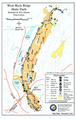
West Rock Ridge State Park map
Trail map of West Rock Ridge State Park in Connecticut.
28 miles away
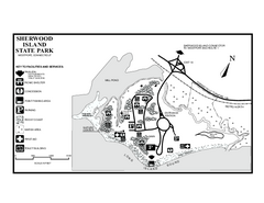
Sherwood Island State Park map
Trail and campground map of Sherwood Island State Park in Connecticut.
28 miles away
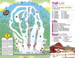
Mount Southington Ski Trail Map
Official ski trail map of Mount Southington ski area from the 2007-2008 season.
29 miles away
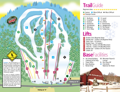
Mt. Southington Ski Area Ski Trail Map
Trail map from Mt. Southington Ski Area, which provides downhill, night, and terrain park skiing...
29 miles away
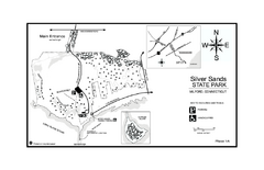
Silver Sands State Park map
Trail and campground map of Silver Sands State Park in Connecticut.
30 miles away
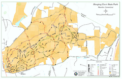
Sleeping Giant State Park map
Trail map for Sleeping Giant State Park in Connecticut.
31 miles away
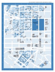
Yale University Campus South and Medical Center...
Yale University Campus South and Medical Center, including the Hewitt Quad, Cross Campus, Old Campus
32 miles away
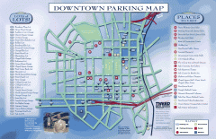
Downtown New Haven Parking Map
Shows locations of all town parking lots and also points of interest
32 miles away
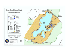
Burr Pond State Park map
Map of Burr Pond State Park in Connecticut.
32 miles away
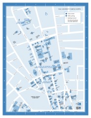
Yale University Campus North Map
Yale University Campus Map - North Campus, including School of Forestry & Environmental Studies...
32 miles away

Yale University Map
32 miles away
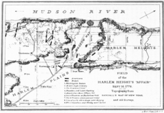
Harlem Hieghts Affair Map
Topography of the field during the battle on Sept 16 1776
32 miles away
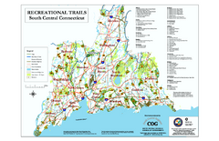
South Central Connecticut Recreational Trail Map
Map of South Central Connecticut showing all recreational trails and open spaces.
33 miles away
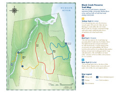
Black Creek Trail Preserve Map
Trail map of Black Creek Preserve on the Hudson River in New York. Shows Yellow Trail, Red Trail...
33 miles away
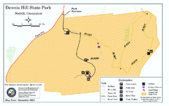
Dennis Hill State Park map
Trail map of Dennis Hill State Park in Connecticut.
34 miles away
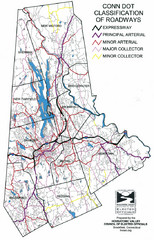
Connecticut Roadway Classification Map
34 miles away
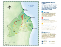
Esopus Meadows Preserve Trail Map
Trail map of Esopus Meadows Preserve park on the Hudson River.
35 miles away
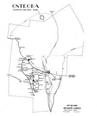
Onteora District Map
Boy Scouts Map of Onteora
35 miles away
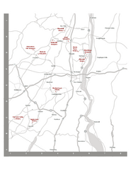
Shawangunk Wine Trail Map
Map of the Shawangunk Wine Trail on the Hudson River in New York. Shows all vineyards and wineries...
36 miles away
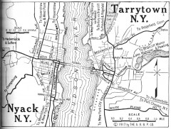
Antique map of Nyack and Tarrytown from 1917
Map of Nyack and Tarrytown, NY from Automobile Blue Book, 1917, Vol. 3
37 miles away
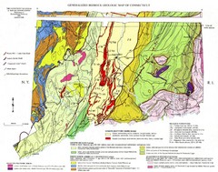
Connecticut Geologic Map
Geologic map of Connecticut bedrock. Shows shaded terranes, fault lines, and Mesozoic formations.
37 miles away
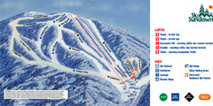
Ski Sundown Ski Trail Map
Trail map from Ski Sundown, which provides downhill and night skiing. It has 5 lifts servicing 15...
38 miles away
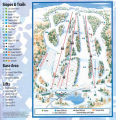
Powder Ridge Ski Area Ski Trail Map
Trail map from Powder Ridge Ski Area.
38 miles away
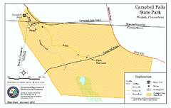
Cambell Falls State Park map
Trail map of Campbell Falls State Park Reserve in Connecticut
39 miles away

Poets Walk Trail Map
Guide to Poet's Walk and Hudson River Overlook
40 miles away
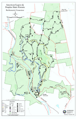
American Legion State Forest trail map
Trail map of American Legion and Peoples State Forests in Connecticut.
40 miles away
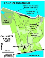
Caumsett State Park Map
Park map of Caumsett State Park on Long Island Sound, New York
40 miles away
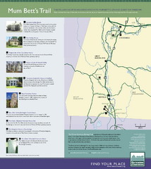
Mum Bett's Trail Map
Historic African American trail guide
40 miles away
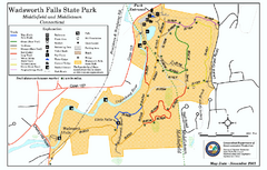
Wadsworth Falls State Park map
Trail map of Wadsworth Falls State Park in Connecticut.
41 miles away
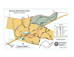
Stratton Brook State Park map
Trail map of Stratton Brook State Park in Connecticut.
41 miles away
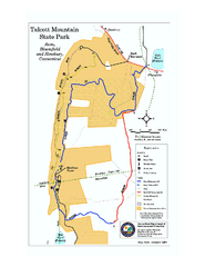
Talcott Mountain State Park map
Trail map of Talcott Mountain State Park in Connecticut.
42 miles away
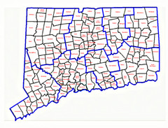
Connecticut Town Map
42 miles away
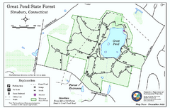
Great Pond State Park trail map
Trail map of Great Pond State Forest in Connecticut.
43 miles away
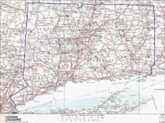
Connecticut Rock Climbing Locations Map
A map of most of the important rock climbing and bouldering areas in Connecticut. Click the link...
43 miles away
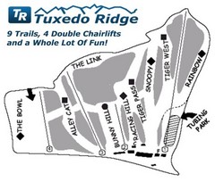
Tuxedo Ridge Ski Trail Map
Trail map from Tuxedo Ridge.
43 miles away
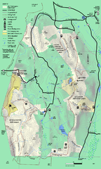
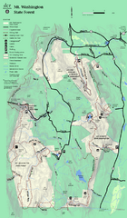
Mt. Washington State Forest trail map
Trail map of Mt. Washington State Forest
43 miles away
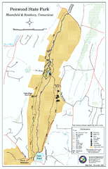
Penwood State Park map
Trail map of Penwood State Park in Connecticut.
44 miles away
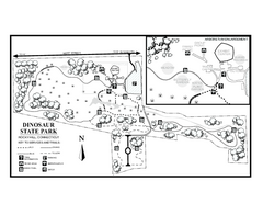
Dinosaur State Park map
Trail map of Dinosaur State Park in Connecticut.
44 miles away

