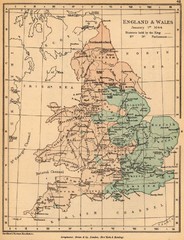
1644 England and Wales Political Map
Map showing districts held by teh King versus the Parliament during the Puritan Revolution
274 miles away
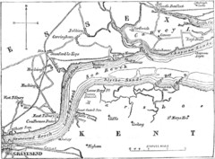
River Thames Map
Map of Thames from Gravesend to Canvey Island
274 miles away
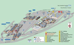
Royal Blackburn Hospital Map
Maps of Royal Blackburn
275 miles away
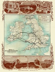
Historic United Kingdom Railroad Map
Guide to the connections of the Great Southern and Western Railways in the British Isles
276 miles away

Rossendale Hospital Map
Campus map of hospital
277 miles away
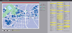
University of Sheffield Map
Campus map
278 miles away
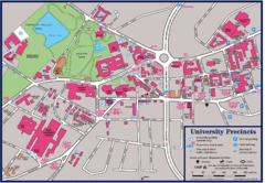
University of Sheffield Map
Campus map of the University of Sheffield in Sheffield, England. Shows parking, bus stops, and...
278 miles away
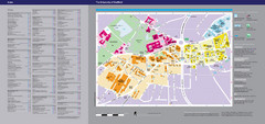
The University of Sheffield Reference Map
The University of Sheffield, United Kingdom
278 miles away
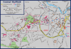
Central Sheffield Map
Map shows central Sheffield, England area. Bus stops and University of Sheffield parking areas...
278 miles away
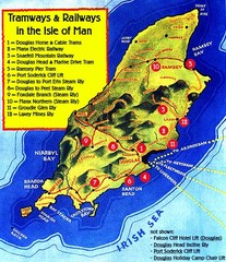
Isle of Man Railways and trams Map
278 miles away
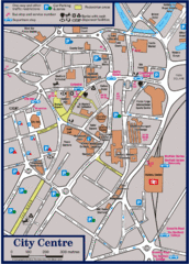
Sheffield Tourist Map
Tourist map of the city center of Sheffield, England.
278 miles away
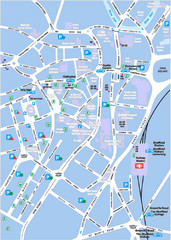
Sheffield City Map
City centre map of Sheffield, England. Shows parking, ATMs, and other points of interest.
278 miles away
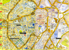
Sheffield City Center Map
279 miles away
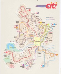
Peterborough Stage Coach Citi Bus Map
279 miles away
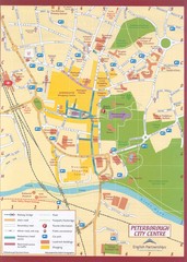
Peterborough City Center Map
City map of central Peterborough, England
279 miles away
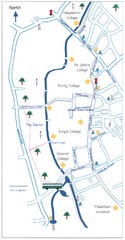
Cambridge Walking Map
Hand drawn tourist walking map of Cambridge, UK
279 miles away
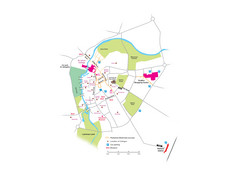
Cambridge City Centre Map
Locations and areas in Cambridge, England
279 miles away
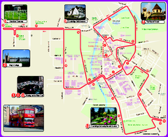
Cambridge Bus Tour Map
Cambridge Bus Tour Map - City Sightseeing
279 miles away
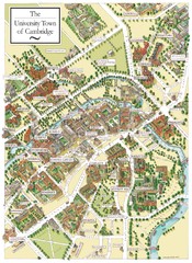
Cambridge England Map
Map of Cambridge, showing all the Colleges
279 miles away
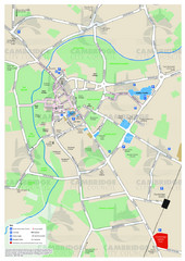
Cambridge Area Map
City map of Cambridge, England. Shows public facilities.
279 miles away

Schematic UK Postcode Map
Shows all postcode areas in the United Kingdom in shape of UK with London extracted.
279 miles away
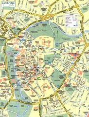
Cambridge Street Map
Street map of central Cambridge, England. Shows University of Cambridge.
280 miles away
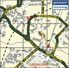
Chelmsford Map
280 miles away
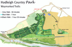
Hadleigh Country Park Map
3 walks, each color coded according to the estimated time it would take to complete each trek...
280 miles away
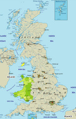
Wales Map
Guide to Wales and major cities in the United Kingdom
281 miles away
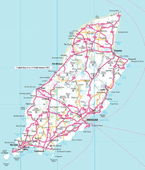
Isle of Man roads Map
281 miles away
Delaine Bus Route Map
Map of bus routes throughout from Borne to Peterborough
281 miles away
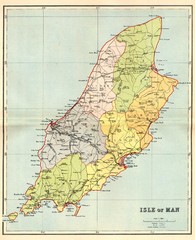
Isle of Man Map
281 miles away
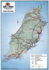
Isle of Man Transportation Map
281 miles away
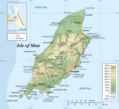
Isle of Man Topo Map
Topographical map of the Isle of Man showing roads, rail tracks, geographic features, and towns...
281 miles away
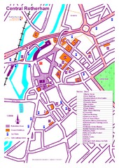
Central Rotherham Map
284 miles away
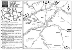
Huddersfield New College Location Map
284 miles away
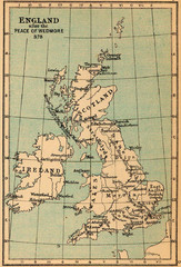
878 England Map
Guide to England after the Peace of Wedmore
285 miles away
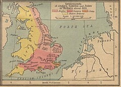
600 British Settlement Map
Map of settlements of Angels, Saxons, Jutes and Native Britons in 600
286 miles away
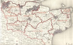
Kent, England County Map
286 miles away
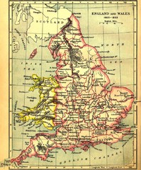
1660-1892 England and Wales Map
Guide to England and Wales from 1660-1892, showing topographic information
287 miles away
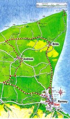
Ramsey, Isle of Man City Map
288 miles away
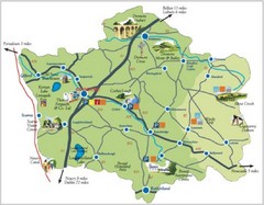
Banbridge District Tourism Map
Shows the locations of the main visitor attractions in the Banbridge District of Northern Ireland...
288 miles away
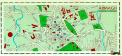
Armagh Ireland Street Map
Street Map of Armagh City, Ireland showing tourist information center, streets, churches and...
290 miles away

