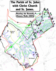
The Parish of St. John's with Christ Church...
A rough history of the Stratford, England and a continuation of the age old tradition of "...
256 miles away
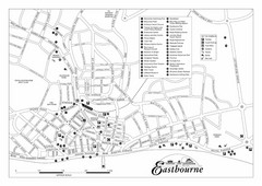
Eastbourne England Tourist Map
Central Eastbourne, England street level tourist map showing tourist sites, parks and city...
257 miles away
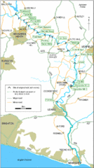
East Sussex, England City Map
258 miles away
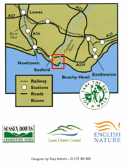
East Sussex, England Bus System Route Map
258 miles away
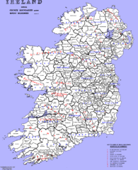
Ireland County/ Barony Map
Barony and County Map of Ireland
258 miles away
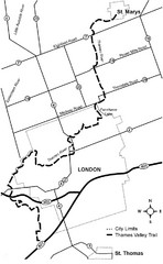
Thames Valley Trail Map
259 miles away
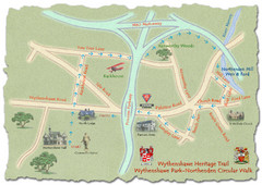
Wythenshawe Heritage Trail map
Northenden Circular Walk trail at Wythenshawe Park.
260 miles away
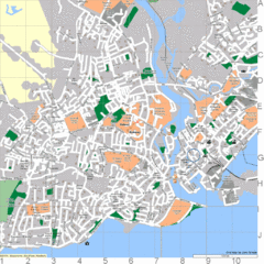
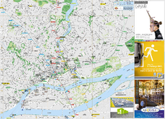
Galway, Ireland Tourist Map
261 miles away
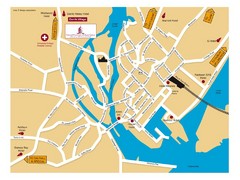
Galway, Ireland Tourist Map
261 miles away

Galway City Map
City map of Galway, Ireland showing city streets, schools, and parking.
261 miles away
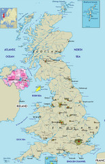
Northern Ireland Political Map
Guide to Northern Ireland and major cities in the United Kingdom
261 miles away
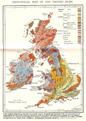
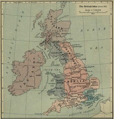
British Isles Geological Map
Old British Isles geological map
262 miles away
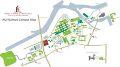
NUI Galway Campus Map
Map of National University of Ireland, Galway Campus
262 miles away
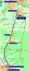
Nottingham Transport Map
A map showing train stations in Loughborough to Nottingham. Includes surrounding roads, towns...
262 miles away
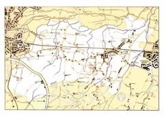
Capel Footpaths Map
Map of Footpaths in Capel Parish
263 miles away
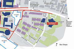
University of Manchester Map
Map of the University of Manchester with the Whitworth Art Gallery highlighted.
264 miles away
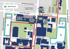
Manchester Business School Map
Map of Machester Business School at University of Manchester
264 miles away
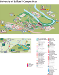
University of Salford Map
265 miles away
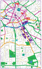
Manchester Tourist Map
Tourist map of Manchester, UK. Shows points of interest.
265 miles away
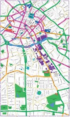
Manchester Map
265 miles away
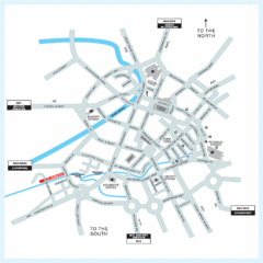
Manchester Overview Map
265 miles away
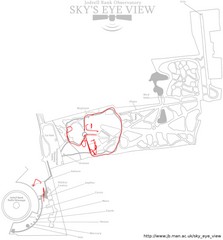
Jodrell Bank Observatory Map
Map of the Jodrell Bank Observatory. Shows location of parking lot, layout of the observatory...
265 miles away

Areas Surrounding Bakewell, UK Map
Cities and areas around Bakewell, United Kingdom
265 miles away
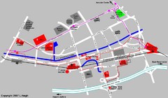
Manchester Map
265 miles away
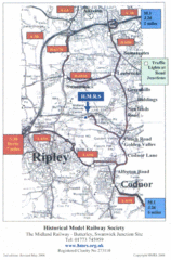
Central England Tourist Map
The area around Nottingham
265 miles away
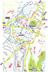
Lisieux Map
266 miles away
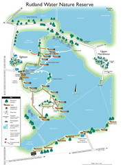
Map of Rudlin Nature Reserve
Full-color map of Rudlin Water Nature Reserve that includes the locations off all Footpaths...
267 miles away
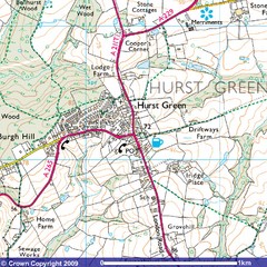
Hurst Green, England City Map
267 miles away
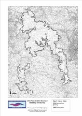
Bird Survey Map
Map of survey areas in the Peak District Moorland. Shows survey areas of 1990 and 2004.
267 miles away
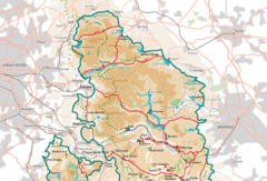
Peak District National Park Map
National Park map.
267 miles away

DTb Master Diagram (early draft) Map
DUKERIES THINKBELT: MASTER DIAGRAM All elements and key
269 miles away
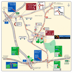
Brentwood, Essex Map
270 miles away
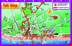
Blackpool Bus Tour Map
Blackpool Bus Tour Map - City Sightseeing
270 miles away

Blackpool Street Map
Street map of city of Blackpool, UK.
270 miles away
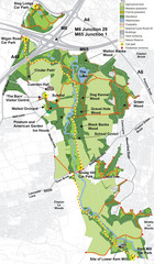
Cuerden Valley Park Map
270 miles away
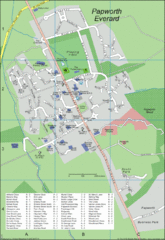
Papworth Everard Tourist Map
272 miles away

Disabled Accessible Places in Maidstone, Kent Map
A guide to places in Maidstone that are wheelchair accessible.
273 miles away

